Autonomous guidance and control systems
Our motion and navigation systems feed the USV’s decision-making processes, enabling it to autonomously follow predefined routes, avoid obstacles, and respond to changes in the environment.
To begin with, our USV solutions use advanced algorithms to ensure safe and efficient navigation. Using sensor data, they adjust the vehicle’s course in real time. Additionally, our maritime inertial solutions let remote operators monitor and control the USV. They also transmit real-time navigation data, sensor readings, and video to the control station.
Finally, communication links allow operators to intervene in critical situations, ensuring reliable navigation over long distances and complex missions.
Real-Time Kinematic positioning for USVs
Real-time kinematic (RTK) systems provide centimeter-level positioning accuracy by correcting GNSS data with real-time information from a reference station. It is essential for USV operations that require high precision. Each GNSS constellation, including GPS, GLONASS, and Galileo, provides global positioning data to determine the USV’s exact location (latitude, longitude, and altitude). It offers precise positioning and navigation in open-water environments where satellite signals are available, allowing USVs to follow predefined routes and reach designated waypoints with high accuracy. GNSS accuracy can be improved by using real-time kinematic positioning (RTK) or precise point positioning (PPP), which computes or models the errors encountered in GNSS.
Download our brochure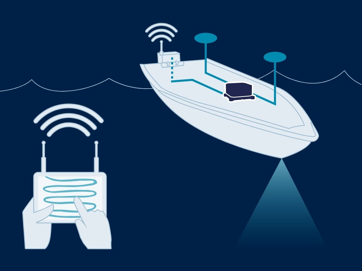
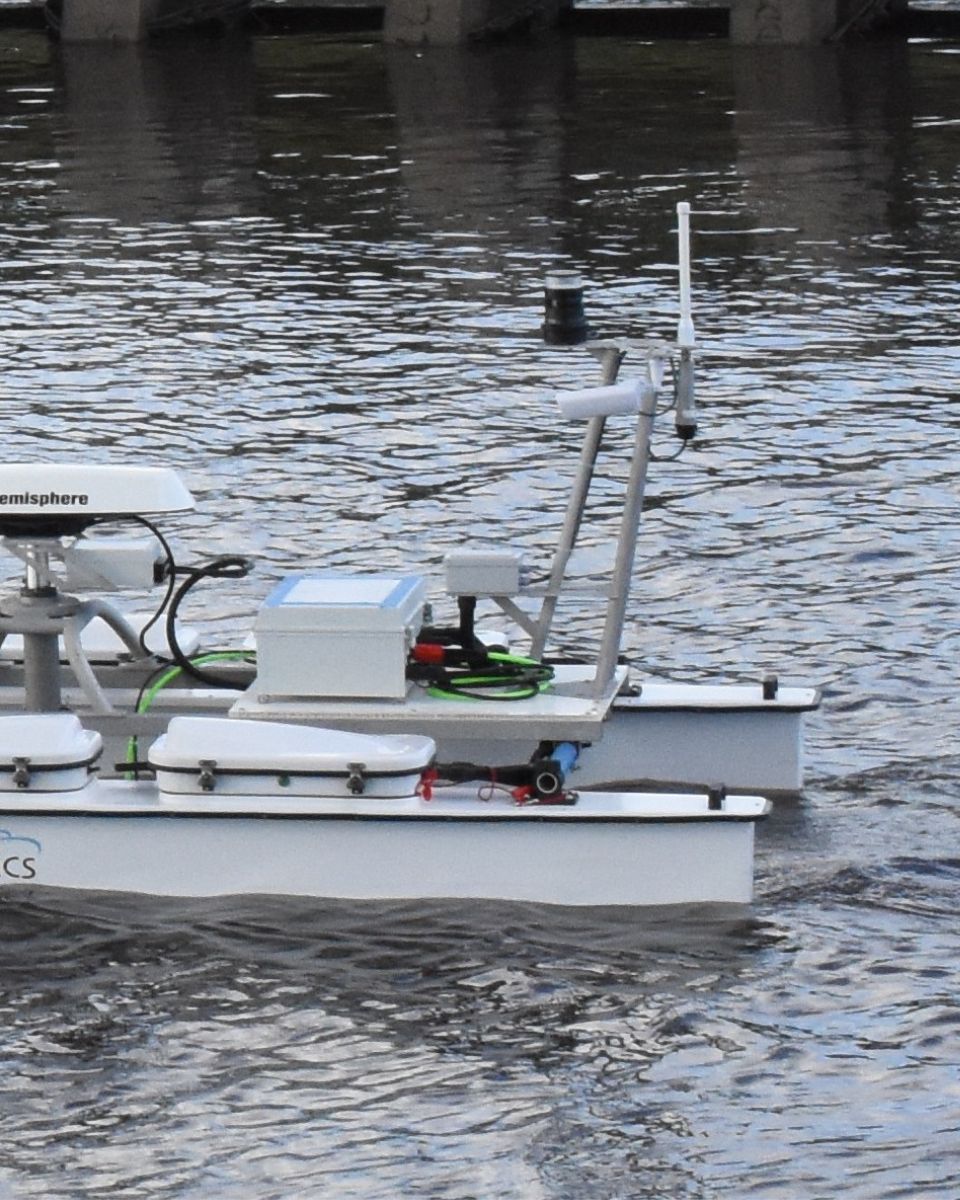
Data fusion and sensor integration
Our inertial sensors often integrate data from multiple sensors (GNSS, IMU, sonar…) to improve positioning accuracy and reliability. Sensor fusion enhances overall navigation performance, allowing the USV to operate effectively in complex environments where a single navigation method may be insufficient. With our autonomous guidance, navigation and control systems, USVs minimize the risks of human error, ensuring more consistent performance during complex missions.
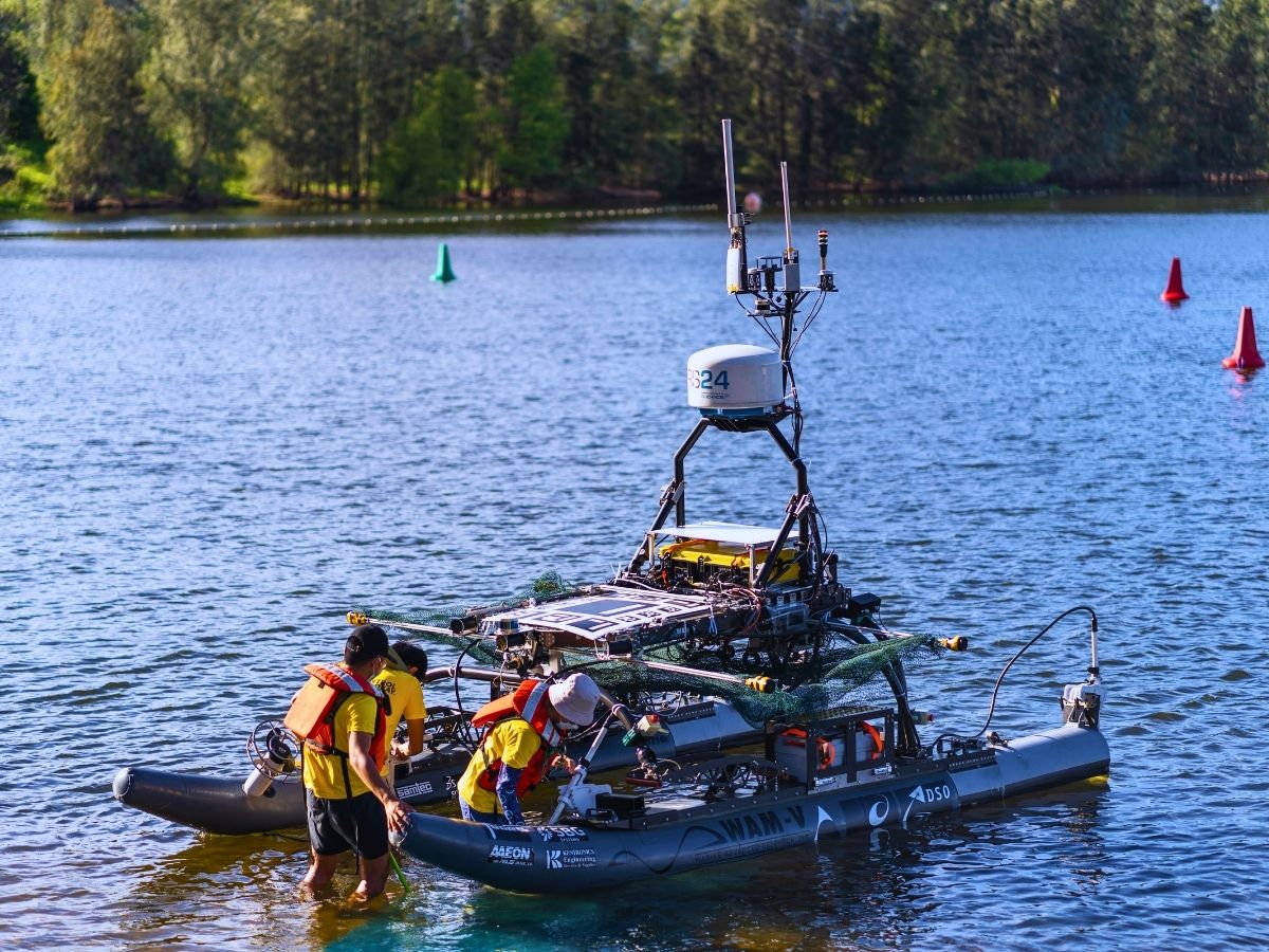
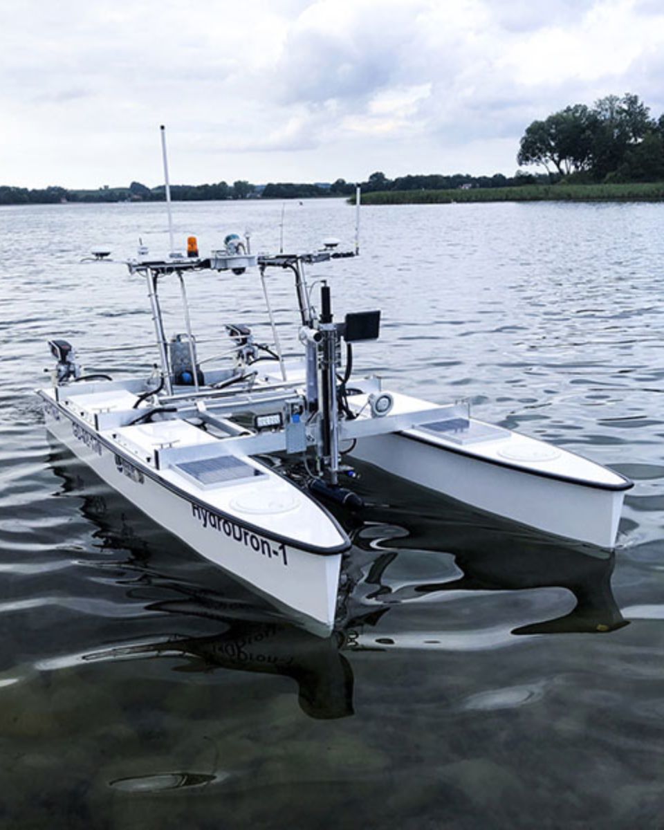
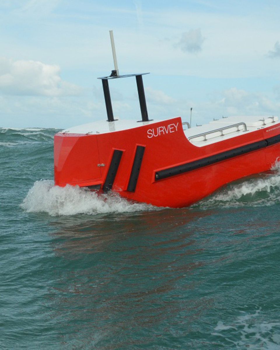
USVs provide cost-effective, safe, and highly versatile solutions for various maritime tasks, from defense and surveillance to environmental monitoring and data collection, while offering superior endurance and precision.

Solutions for unmanned surface vehicles
Our innovative solutions deliver exceptional precision and robustness, ensuring your vessel perform optimally in any maritime environment. From exploration to defense, our technology provides the reliability you need.
Pulse-40

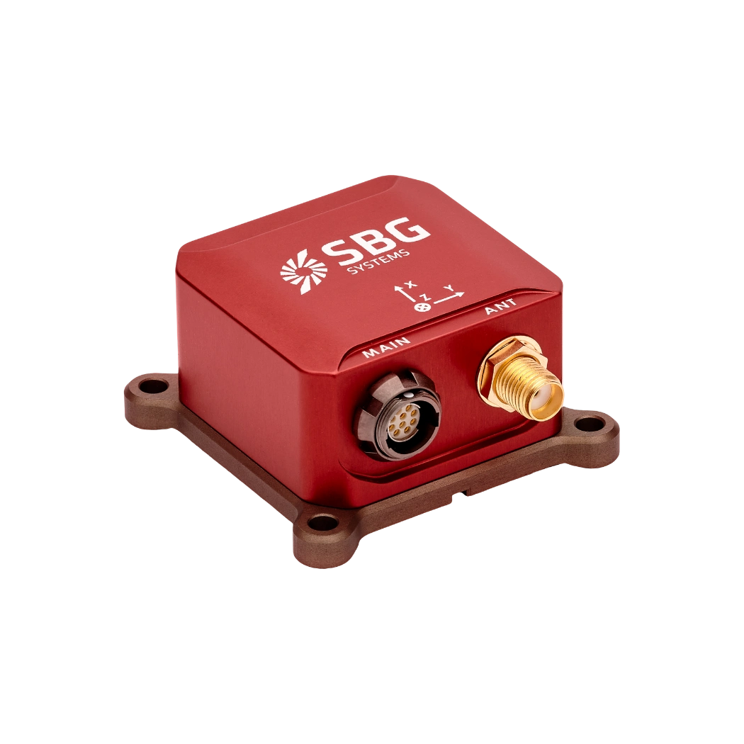
Ellipse-A
Ellipse-E
Ellipse-N

Ellipse-D
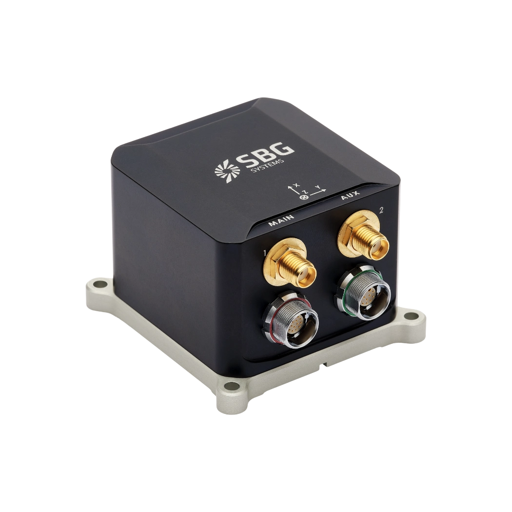
Ekinox Micro
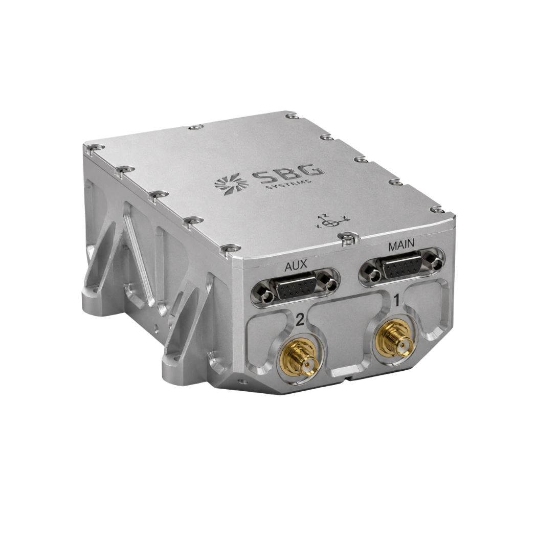
Stellar-40
Defense applications brochure
Get our brochure delivered straight to your inbox!
Case studies
Discover the impact of our USV navigation solutions through our in-depth case studies, showcasing their pivotal role in driving success across a wide range of projects. Our cutting-edge technology delivers unparalleled accuracy and reliability, perfectly customized to meet the unique demands of various maritime operations.

They talk about us
Hear first hand, from the innovators and clients who have adopted our technology.
Their testimonials and success stories illustrate the significant impact our sensors have in practical autonomous vehicles applications.
Discover other unmanned systems in maritime applications
Explore how inertial navigation systems empower a wide range of unmanned maritime systems. From autonomous surface vessels (USVs) to underwater vehicles (UUVs), our solutions ensure reliable positioning, orientation, and motion data—enabling safe and efficient operations in even the most challenging marine environments.
Do you have questions?
Welcome to our FAQ section. Should you require any clarification, please refer to the list of frequently asked questions below. If you are unable to find the information you are looking for, please do not hesitate to contact us directly.
What is the inertial guidance system of a USV?
An inertial guidance system for an Unmanned Surface Vehicle (USV) is crucial for precise navigation and control, especially when GNSS is unavailable. Inertial sensors track motion and orientation, enabling effective navigation in challenging environments.
Inertial Navigation Systems (INS) integrate IMU data with other systems, such as GNSS or Doppler Velocity Logs, for enhanced accuracy. They also employ navigation algorithms, such as Kalman Filtering, to calculate position and velocity.
Inertial sensors support autonomous operation, providing accurate heading and position data for various applications. They ensure effective operation in GNSS-denied conditions and allow real-time adjustments for enhanced maneuverability.
What is a payload?
A payload refers to any equipment, device, or material that a vehicle (drone, vessel …) carries to perform its intended purpose beyond the basic functions. The payload is separate from the components required for the vehicle operation, such as its motors, battery, and frame.
Examples of Payloads:
- Cameras: high-resolution cameras, thermal imaging cameras…
- Sensors: LiDAR, hyperspectral sensors, chemical sensors…
- Communication equipment: radios, signal repeaters…
- Scientific instruments: weather sensors, air samplers…
- Other specialized equipment
What is the difference between IMU and INS?
The difference between an Inertial Measurement Unit (IMU) and an Inertial Navigation System (INS) lies in their functionality and complexity.
An IMU (inertial measuring unit) provides raw data on the vehicle’s linear acceleration and angular velocity, measured by accelerometers and gyroscopes. It supplies information on roll, pitch, yaw, and motion, but does not compute position or navigation data. The IMU is specifically designed to relay essential data about movement and orientation for external processing to determine position or velocity.
On the other hand, an INS (inertial navigation system) combines IMU data with advanced algorithms to calculate a vehicle’s position, velocity, and orientation over time. It incorporates navigation algorithms like Kalman filtering for sensor fusion and integration. An INS supplies real-time navigation data, including position, velocity, and orientation, without relying on external positioning systems like GNSS.
This navigation system is typically utilized in applications that require comprehensive navigation solutions, particularly in GNSS-denied environments, such as military UAVs, ships, and submarines.
What is ROV ?
ROV or Remotely Operated Vehicle, is an uncrewed underwater robot designed to operate in environments that are too deep, dangerous, or otherwise inaccessible for human divers. ROVs are widely used in marine industries such as offshore oil and gas, scientific research, environmental monitoring, and naval operations. Unlike autonomous underwater vehicles (AUVs), which operate independently following pre-programmed paths, ROVs are typically tethered to a surface vessel via an umbilical cable that provides power, communication, and control signals. This tether allows a human operator on the surface to pilot the vehicle in real time, providing precise maneuvering, monitoring, and control of onboard sensors and manipulators.
ROVs are equipped with a variety of instruments depending on their mission. They commonly carry high-definition cameras for visual inspection, sonar systems for mapping and navigation, and manipulator arms for interacting with objects on the seabed. Advanced models may include specialized sensors such as environmental probes, magnetometers, and inertial navigation systems (INS) to maintain accurate positioning in challenging underwater conditions. Since GPS/GNSS signals cannot penetrate water, ROVs rely on a combination of acoustic positioning systems, Doppler velocity logs (DVLs), pressure sensors, and inertial navigation to estimate their position relative to the surface vessel or a fixed reference point. High-precision ROVs used in subsea construction or scientific research often integrate tactical-grade IMUs to ensure centimeter-level accuracy over extended operations, even in areas with poor acoustic coverage.
The design of an ROV is highly modular, allowing different payloads to be attached depending on mission requirements. Small observation-class ROVs are lightweight and portable, intended for simple visual inspections, while work-class ROVs are much larger, capable of heavy-duty tasks such as subsea construction, pipeline repair, or sample collection. ROVs provide unmatched access to underwater environments, extending human capabilities and enabling operations at depths and durations that would otherwise be impossible. In essence, an ROV is both a versatile exploration tool and a precision platform for executing complex underwater missions, bridging the gap between human oversight and remote robotic capability.
