AUVs’ Attitude and Heading Reference System
Our sensors are designed for seamless integration into your autonomous underwater vehicle (AUV). They ensure continuous collection and real-time transmission of roll, pitch, and magnetic-based heading data. This data is crucial for accurately determining the AUV’s orientation. Furthermore, it ensures stability during underwater missions. Consequently, it allows precise navigation and control in challenging underwater environments.
Our systems combine data from accelerometers, gyroscopes and magnetometers, all fused through a robust algorithm that includes advanced decision logic and quality checks. This ensures reliable and accurate attitude estimation, even in magnetically disturbed or dynamic conditions. With output rates up to 1 kHz, our AHRS delivers real-time orientation updates, enabling fast and responsive control — a critical requirement for modern AUV guidance and autonomy.
Motion and navigation systems for AUV
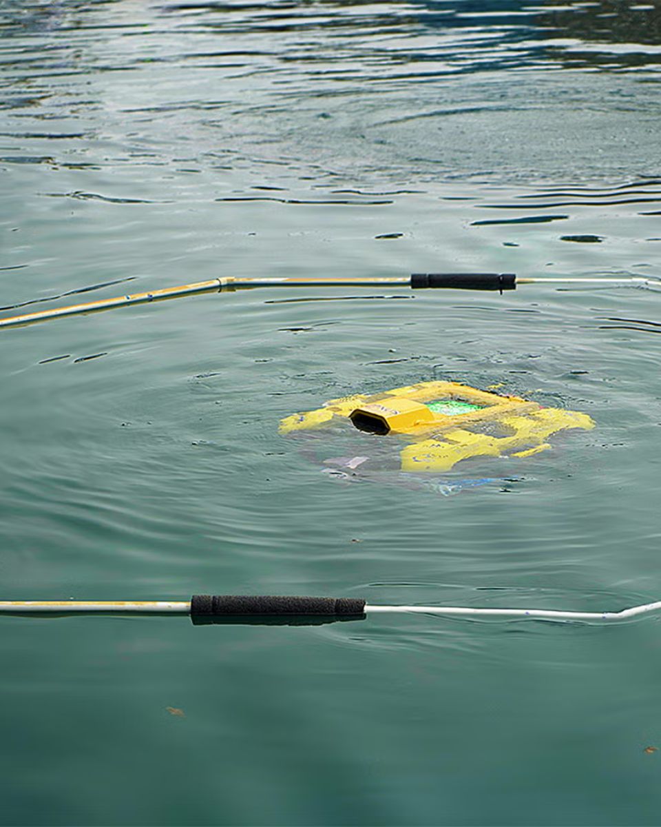
In AUV applications, AHRS ensures that the vehicle can stabilize itself in turbulent waters, navigate accurately, and adjust its motion according to the changing underwater environment. For example, AUVs used in seabed mapping rely on precise attitude data to maintain a stable platform for their sonar or other sensors. Without accurate attitude information, the vehicle’s data collection could be compromised, leading to errors in mapping or inspection tasks.
For underwater survey missions, INS is essential. It helps AUVs calculate their trajectory over time, allowing operators to execute precise mapping or monitoring tasks. With its ability to provide real-time feedback on position and motion, INS is critical for navigating through complex underwater terrain and avoiding obstacles like underwater structures, wreckage, or natural formations.
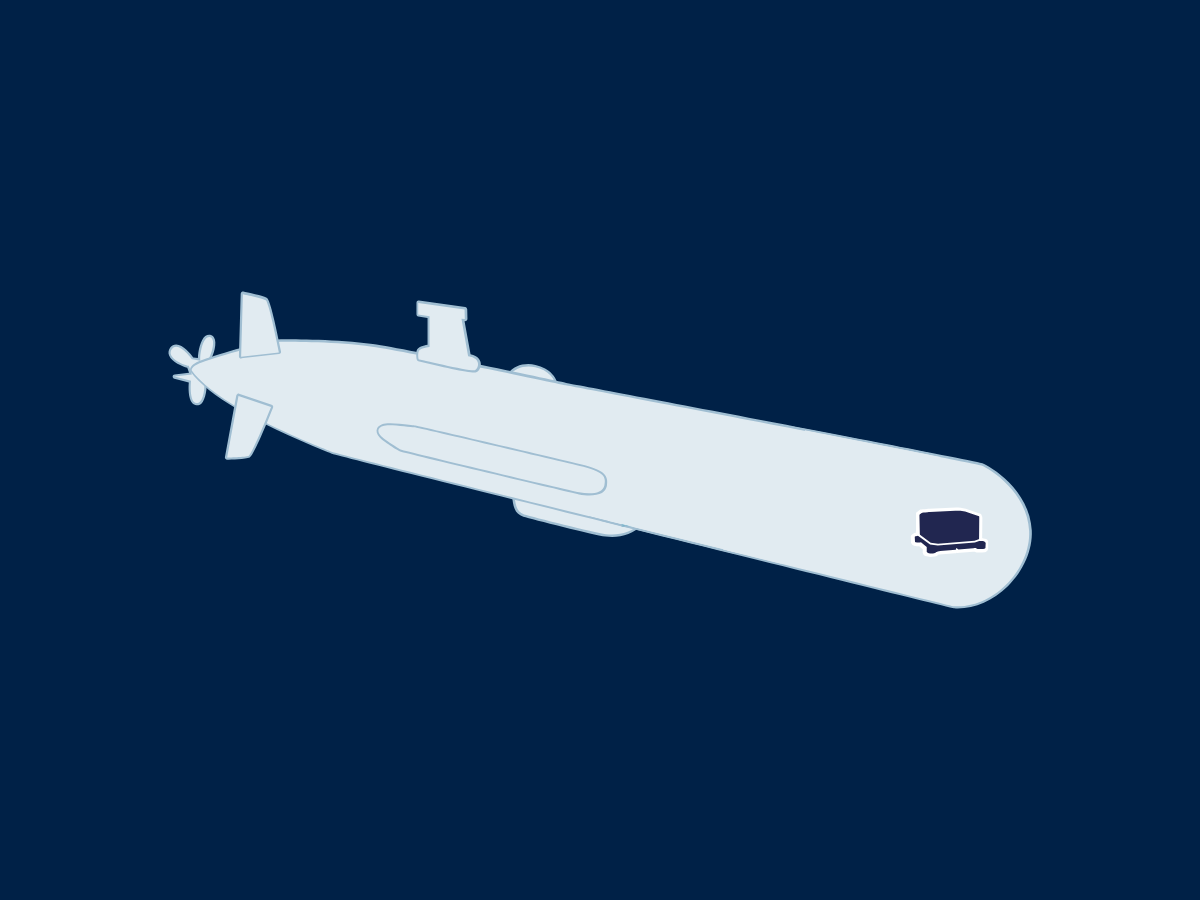
Our solutions for AUVs
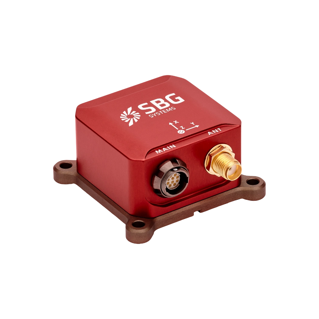
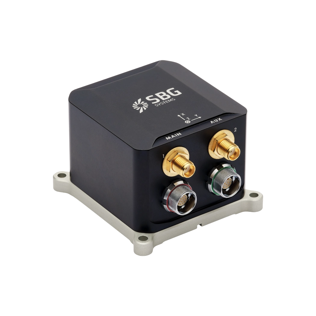
Equip your AUVs with our inertial solutions. Moreover, we offer both OEM and enclosure products to meet diverse user needs. We engineer our products to achieve maximum precision in underwater environments. Furthermore, whether for exploration, research, or defense, our systems deliver exceptional accuracy and durability. Consequently, they ensure successful missions every time.
Pulse-40

Ellipse-A
Ellipse-E
Ellipse-N

Ellipse-D
Ekinox Micro
Autonomous vehicles brochure
Receive our brochure directly in your inbox instantly!
Case studies
SBG Systems has partnered with leading companies across various industries to deliver high-performance inertial solutions their applications. Our case studies showcase the success stories of projects where our technology played a pivotal role in navigation.
They talk about us
Hear first hand, from the innovators and clients who have adopted our technology.
Their testimonials and success stories illustrate the significant impact our sensors have in practical autonomous vehicles applications.
Explore other offshore applications
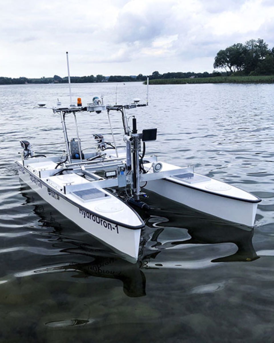
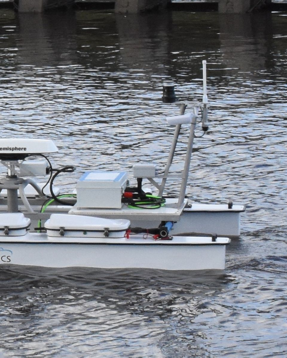
Discover how our navigation and motion sensing technologies extend to a wide range of surface and underwater applications. From unmanned surface vessels (USVs) to autonomous underwater vehicles (AUVs), our solutions deliver reliable positioning, orientation, and motion data—even in the most challenging marine environments.
Do you have questions?
Our FAQ section answers the most common questions about mobile mapping systems. It explains the technologies involved and shares best practices. Additionally, it guides users on integrating our products into their solutions.
What is the difference between AUV and ROV?
The main difference between an Autonomous Underwater Vehicle (AUV) and a Remotely Operated Vehicle (ROV) lies in their control and operation. AUVs are autonomous, operating without a direct human operator, pre-programmed to follow specific missions. Battery-powered and untethered, AUVs offer freedom of movement, making them ideal for tasks such as seafloor mapping and environmental monitoring.
AUVs can cover vast distances due to their autonomy. ROVs, on the other hand, are controlled by operators via a tether that connects them to a ship or platform. This tether provides power and communication but limits their range, making ROVs ideal for underwater inspections and repairs requiring real-time control.
What is AHRS ?
AHRS or Attitude and Heading Reference Systems, is an integrated navigation subsystem that provides a real-time, drift-controlled estimate of a platform’s orientation—its roll, pitch, and heading. At its core, an AHRS fuses measurements from three types of sensors: gyroscopes, accelerometers, and magnetometers.
Gyroscopes track angular rates, accelerometers sense specific forces including gravity, and magnetometers measure the Earth’s magnetic field to reference heading. On their own, each sensor has limitations—gyros drift over time, accelerometers are influenced by dynamic motion, and magnetometers can be disturbed by nearby ferrous objects—but when combined through advanced filtering algorithms such as extended or nonlinear Kalman filters, the system produces a stable, accurate, and continuous attitude solution.
Modern AHRS units also incorporate calibration models to compensate for temperature variations, misalignment, scale-factor errors, and magnetic distortions, significantly improving robustness. Compared to simple IMUs, which only deliver raw sensor outputs, an AHRS provides a fully computed, ready-to-use orientation output.
Unlike a full navigation-grade INS, however, it typically does not integrate velocity or position unless coupled with additional sensors. AHRS solutions are widely used in UAVs, USVs, UGVs, aircraft, marine vessels, and many defense platforms where reliable attitude and heading information is crucial for control, stabilization, and situational awareness—even in environments where GPS may be unavailable or degraded.
