The need for accurate train positioning
Rail systems encounter extreme weather, vibrations, and electromagnetic interference. These factors reduce the accuracy of odometers and tachometers. Tachometers generate kilometer points, but rail slippage, wheel wear, and calibration drift frequently introduce significant errors.
Modern trains, require extremely fast and accurate positioning updates to ensure smooth and safe operation. Traditional GNSS systems can sometime fail to track rapid position and velocity changes at high speeds.
Our positioning and location products offer a reliable alternative to GNSS-only systems, ensuring continuous and accurate positioning solution in GNSS-denied area. By integrating data from accelerometers, gyroscopes, and other sensors like odometers, these systems deliver accurate and real-time information about the train’s position and speed, making them indispensable for modern rail operations.

Boosting light-rail efficiency and passenger information
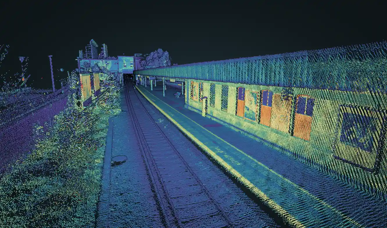
Modern passenger information systems depend on precise, continuous vehicle location. In dense cities, GNSS alone struggles: tunnels, cuttings, tree cover, depots, and “urban canyon” streets cause dropouts and multipath. Our inertial sensors solve this—delivering reliable, lane-/track-level continuity without deploying beacons along the rails. Compared to GNSS-only solutions, INS offer clear advantages for tram operations as it ensures gap-free positioning, maintaining accurate location even in tunnels, underpasses, or stations with canopies. So passenger information displays never “jump”, delivering reliable continuity without deploying beacons along the rails.
INS integration offers multipath robustness: by weighting inertial and odometry data, it can reject faulty satellite fixes and prevent sudden map jumps in narrow, signal-challenged urban streets while map-matching constrains the trajectory to the rail geometry, effectively suppressing drift.
Solutions for tram and train positioning systems
Our train positioning solutions ensure precise, real-time location data for train control systems, boosting operational efficiency. With advanced GNSS and inertial technology, our systems guarantee seamless navigation even in tunnels and GNSS-denied environments.
Discover how our positioning solutions can improve your railway operations !
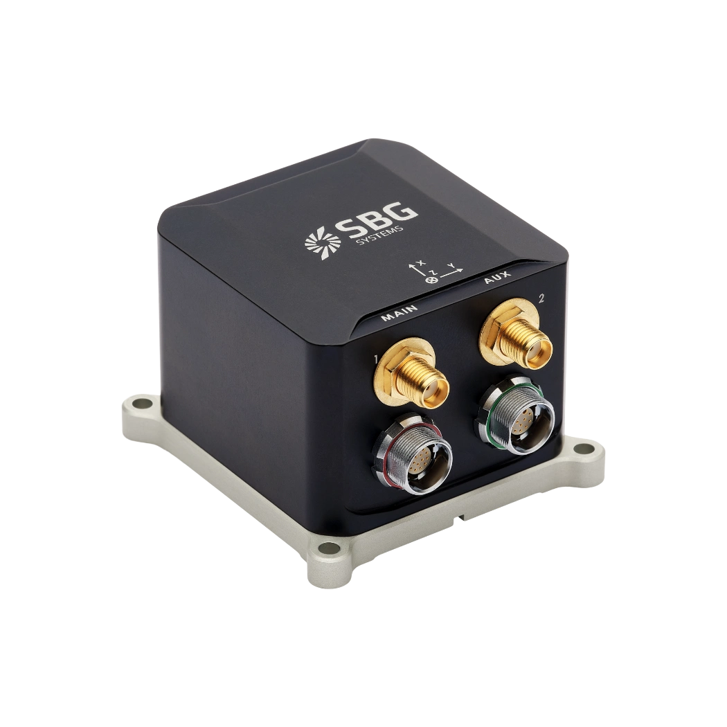
Ekinox Micro
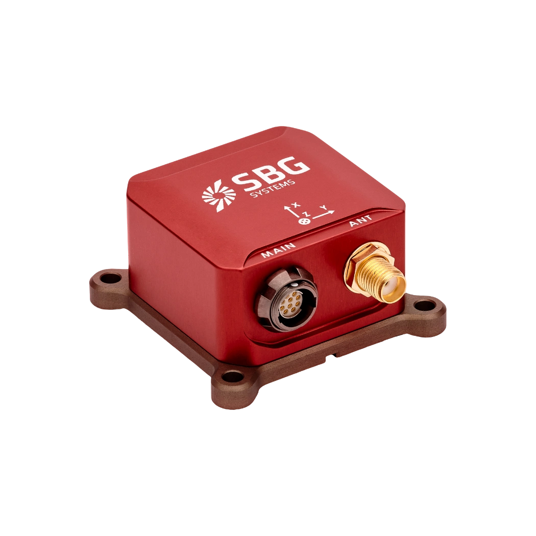
Ellipse-N
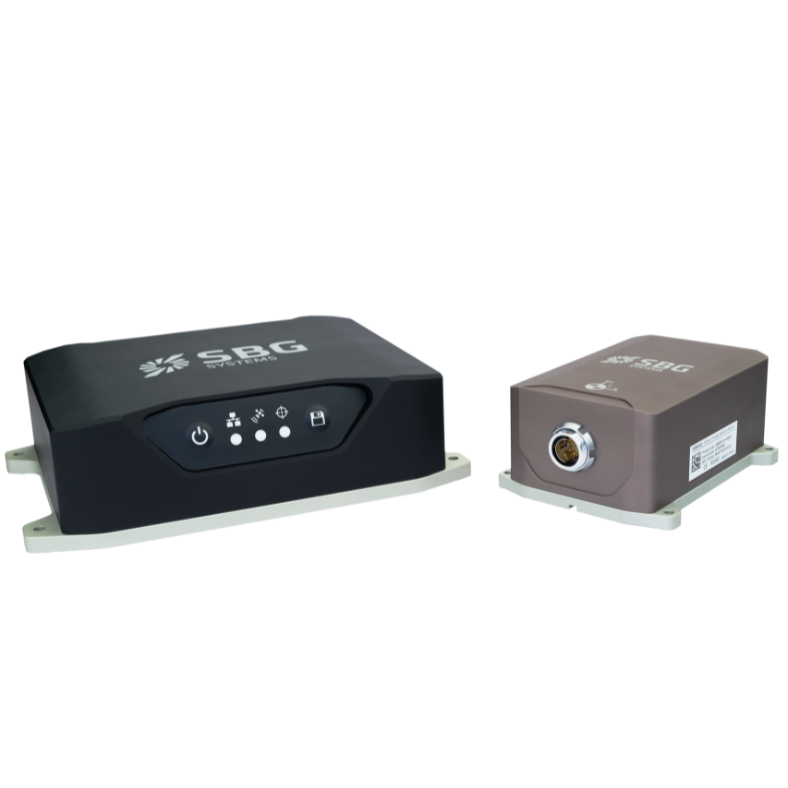
Navsight Land-Air
Download products datasheets
Explore how our train positioning resilient and robust solutions can enhance train control and passenger information.
Our use cases
SBG Systems supports the development and validation of rail tracking systems and train positioning systems with high-precision inertial navigation solutions.
Discover how our clients have integrated our technology to enhance performance and innovation in railway applications.


They talk about us
Discover how our customers and industry leaders recognize SBG Systems as a pioneer in inertial solutions for autonomous vehicle applications and railway positioning systems. Our innovative technology combines high-performance inertial sensors and GNSS capabilities, setting the standard for precision and reliability in complex driving environments.
Explore other autonomous vehicles applications
SBG Systems’ inertial navigation solutions support many autonomous vehicle applications beyond traditional passenger cars. Our sensors enable precise positioning, orientation, and motion data for unmanned ground vehicles and delivery robots. They also serve autonomous shuttles and industrial machines with real-time performance. Even in GNSS-denied environments, our technology ensures reliable navigation and control.
Do you have questions?
Welcome to our FAQ section! Here, you’ll find answers to the most frequent questions about the railway systems application we highlight.
Does INS accept inputs from external aiding sensors?
Inertial Navigation Systems from our company accept inputs from external aiding sensors, such as air data sensors, magnetometers, Odometers, DVL and other.
This integration makes the INS highly versatile and reliable, especially in GNSS-denied environments.
These external sensors enhance the overall performance and accuracy of the INS by providing complementary data.
What is a gyroscope ?
A gyroscope is a sensor that measures angular velocity—the rate at which an object rotates around one or more axes—and is one of the foundational building blocks of inertial navigation systems. Its core purpose is to provide precise, real-time information about rotational motion so that an INS or IMU can determine how an object’s orientation evolves over time.
Modern gyroscopes used in navigation, especially in aerospace, defense, marine, and robotics, are typically MEMS (Micro-Electro-Mechanical Systems) or optical technologies like FOG (Fiber Optic Gyroscopes) and RLG (Ring Laser Gyroscopes). While their physical principles differ, they all exploit the same fundamental concept: when a system rotates, the sensor detects the resulting inertial effect and converts it into an electrical signal.
In a MEMS gyroscope, tiny vibrating structures—often silicon masses driven at specific resonance frequencies—experience Coriolis forces when the device rotates. These forces cause measurable changes in vibration patterns, which are translated into angular rate information. In optical gyros, light traveling in opposite directions along a closed loop experiences phase shifts when the system rotates; this Sagnac effect enables extremely accurate and drift-stable rotation measurements without any moving parts.
Gyroscopes feed crucial data into an inertial navigation system’s algorithms, allowing the system to compute attitude (roll, pitch, and yaw). When combined with accelerometers, they form an IMU, which provides comprehensive motion sensing capability. High-quality gyroscopes reduce drift, enhance stability, and allow the navigation system to function reliably even in GPS-denied environments. In applications such as UAV guidance, loitering munitions, AUV control, maritime heave compensation, or autonomous vehicle navigation, the gyroscope’s accuracy directly impacts the system’s ability to maintain a precise and stable trajectory.
Whats an IMU ?
An Inertial Measurement Unit (IMU) is a compact sensor module that measures the motion and orientation of a platform by capturing its linear accelerations and angular rotation rates. At its core, an IMU integrates three accelerometers and three gyroscopes arranged along orthogonal axes to provide six degrees of measurement.
Accelerometers sense how the platform accelerates in space, while gyroscopes track how it rotates. By processing these measurements together, an IMU delivers precise information about changes in velocity, attitude, and heading without relying on any external signals. This makes IMUs essential for navigation in environments where GPS is unavailable, unreliable, or intentionally denied. Their performance depends heavily on sensor quality, calibration, and how well errors—such as biases, noise, scale factors, and misalignments—are controlled.
High-grade IMUs include advanced calibration, thermal compensation, vibration filtering, and bias stability mechanisms to ensure that errors do not accumulate rapidly over time. Because of these characteristics, IMUs are used across a wide range of applications—from UAVs, loitering munitions, and autonomous vehicles to AUVs, robotics, and industrial stabilization systems—providing robust, continuous awareness of motion and orientation even in the harshest operational conditions.
