Large-scale mapping for high-precision autonomous driving
For autonomous driving technology, accurate data means smarter navigation. Our customer needed to record and process terabytes of real-world geolocation data to support their worldwide mapping operations. This challenge led to the development of new features within our Apogee INS and Qinertia post-processing software, enabling more efficient data management.

This major global high-resolution maps producer notably supporting the future of autonomous driving, approached us to strengthen its R&D. The team included specialists dedicated to software and digital mobility innovation. Their mission is to advance automation from SAE Level 3 to SAE Level 5.
To achieve this, they launched a large project to develop a software platform that records, analyzes, and processes 360-degree sensor data collected in real traffic conditions. This data forms the foundation for creating multi-layered, high-resolution maps used for the localization and navigation of future self-driving vehicles.
What the customer needed
The customer’s prototype system was mounted on the SUV’s roof racks and equipped with multiple LiDARs, cameras, and an Inertial Navigation System (INS). Previously, their solution was a combination of a fiber-optic gyro (FOG) IMU and third-party post-processing software. It provided acceptable accuracy but lacked automation capabilities and was expensive to scale.
They primarily required:
Automated post-processing workflows: An API-driven solution capable of automatically handling large data volumes within their cloud infrastructure.
Scalability and cost-efficiency: A system optimized for large-scale deployment across hundreds of test vehicles without requiring expensive hardware or licenses.
Ease of use: A powerful yet intuitive PPK software that simplified high-precision data processing while maintaining accuracy and performance.
High-end inertial performance: An INS offering FOG-level accuracy and stability, while keeping the compact size and affordability of MEMS technology.
How it all started
The partnership began in the summer of 2021. Initial evaluations showed a strong alignment between the customer’s needs and our roadmap. Our team worked closely with the customer’s engineering group to adapt and augment the software capabilities.
Our team, consisting of business analysts, developers, and product managers, worked closely and brainstormed solutions. After carefully evaluating the customer’s challenges, we proposed a tailored approach that addressed their key needs.
- Our team at SBG Systems proposed a combined hardware and software solution. It was built around the dual antenna Apogee INS and Qinertia post-processing software suite. This “winning combo” was designed for mobile mapping and autonomous vehicle R&D applications.
- Automated Processing (CLI): A major new feature was introduced to Qinertia: the Command Line Interface (CLI). With this development, fully automated data post-processing became possible without manual user interaction. This development came directly from the customer’s feedback and was crucial for processing large data batches in their cloud environment.
- Enhanced Time Synchronization: The Apogee firmware was upgraded to provide more precise timing synchronization between the INS, LiDARs, and cameras on each vehicle, ensuring highly accurate multi-sensor alignment.
- HxGN SmartNet Integration: we expanded Qinertia’s network to support HxGN SmartNet corrections. This improved the global availability of higher positional accuracy.
This collaboration not only solved the customer’s immediate automation challenge but also led to product evolution, making Qinertia a more versatile, cloud-ready post-processing solution.
Implementing autonomous vehicle mapping solutions
Following successful trials and demonstrations in 2022, the customer integrated our solution into their test vehicles. Each Apogee unit was installed on cars used in data-capture operations across Europe, North America, and Asia.
Throughout the deployment, our Business Development, Product Management, Sales, and Support teams ensured quick responses, agile feature development, and transparent communication.
How we made a difference
The customer approached us with specific challenges, and we carefully addressed them. Rather than providing a standard out-of-the-box solution, we added specific features to our firmware and developed a new feature in Qinertia, delivering a fully custom solution tailored to their needs.
In the INS world, one size never fits all. Our strength is ensuring our proposed solutions truly match customer’s unique requirements. They recognized our responsiveness and commitment to quality, which helped build long-term trust and continued collaboration.
A fruitful partnership
Over four years of partnership, the customer transitioned from pilot series to large-scale operations, with over a hundred Apogee units currently in use and several new units delivered each month. These units collectively capture and process terabytes of high-precision data every week. They are used to create HD maps, model trajectories, and support advanced autonomous driving research.
Key outcomes
- Scalable data operations: Automated batch processing drastically reduced manual workload. This enabled handling of massive datasets with greater speed and efficiency.
- High-performance accuracy: The Apogee INS achieved the precision of higher-cost FOG-based systems at a significantly better price-to-performance ratio.
- Global deployment: Hundreds of our INS solutions, installed on SUVs, are now deployed across multiple continents, enabling continuous field testing and validation.
- Product evolution through collaboration: Customer feedback directly influenced new Qinertia features that now benefit the broader user community.
Key takeaways
This long-term project highlighted the value of close customer collaboration and technical agility. By listening to user needs, we were able to:
- Deliver a reliable, high-performance, and cost-effective solution.
- Add new automation features to Qinertia.
- Handle high-volume deliveries while keeping quality and responsiveness.
Conclusion
This partnership is a perfect example of how technical flexibility, close collaboration, and a seamless hardware-software system can accelerate the success of large-scale autonomous vehicle programs.
With ongoing innovation and support, our solution plays a key role in the customer’s autonomous mobility goals. It turns complex data workflows into an efficient and automated process. The customer chose our solution exclusively for this purpose, replacing one from an established competitor. This proves our ability to deliver consistent performance at scale. We are scalable and ready to produce HD maps for the next generation of self-driving vehicles.


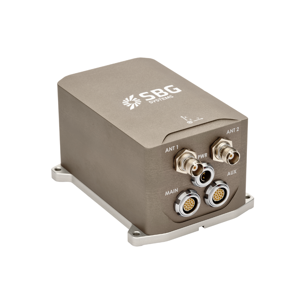
Apogee-D
Apogee-D is an advanced Inertial Navigation System (INS). It features a dual-antenna, triple-frequency GNSS receiver that supports GPS, GLONASS, BEIDOU, and GALILEO constellations.
The system excels across diverse mobile applications. Thanks to the combination of MEMS sensors with GNSS for precise position, orientation, and velocity data in challenging environments. It proves invaluable in multiple sectors, including autonomous vehicles, battlefield management, mobile mapping, and geospatial surveying. Not to mention, how its resistance to GNSS disruptions makes it particularly suitable for UAVs, aircraft navigation, and maritime operations.
Qinertia
Qinertia PPK software delivers a new standard in high-precision positioning. As accuracy becomes non-negotiable, Qinertia stands out as an essential solution for professionals and industries that require absolute confidence in the integrity of their location data.
The Command Line Interface (CLI) feature enables fully automated post-processing of large datasets without manual intervention.
