Reliable positioning and motion estimation for autonomous mining

Autonomous mining uses advanced positioning, navigation, perception, and control technologies to operate mining equipment with limited or no direct human intervention. Autonomous haul trucks, drilling rigs, excavators, loaders, and other heavy machinery can perform repetitive operations while maintaining accurate trajectories and safe positioning.

Our Inertial Navigation Systems (INS) combine an Inertial Measurement Unit (IMU) with GNSS and advanced navigation algorithms to maintain accurate position, velocity, and attitude data. By delivering reliable motion and orientation information, our inertial sensors provide precise navigation, keeping mining operations moving even when GNSS/GPS signals become unreliable or unavailable.

Home Vehicles Autonomous mining

Eliminating costly operational downtime

Unplanned stoppages caused by unreliable navigation systems represent the single largest bottleneck in modern mining operations. Autonomous haul trucks grind to a sudden halt during frequent GNSS/RTK signal loss, while underground continuous miners waste critical production cycles pausing for manual surveyor updates to verify path alignment.

Low-grade positioning sensors exacerbate these failures under harsh site conditions, driving up operational costs through systemic downtime. We deliver industrial-grade Inertial Navigation Systems (INS) built specifically to eliminate positioning-related stoppages, ensuring continuous, high-precision autonomy across surface and underground operations.

Keep your mining operations moving
Frequent navigation failures cause costly stoppages, disrupting autonomous haulage and preventing continuous, accurate autonomous mining operations.

Overcoming GNSS-denied fleet blindspots

Suboptimal fleet management stems directly from position uncertainty when heavy machinery enters GNSS-shadowed open pits or subterranean drifts. Without real-time tracking data, dispatch systems lose visibility and force operators to react instead of planning efficiently. This creates haulage bottlenecks and reduces overall production efficiency. Compounding this challenge, traditional fleet modernizations force mines to navigate complex, multi-vendor sensor integrations with proprietary constraints.

SBG Systems eliminates these operational blindspots by offering platform-agnostic, ITAR-free Inertial Navigation Systems (INS). Our INS delivers continuous dead reckoning through GNSS-denied zones and integrates with existing fleet architectures for full-fleet visibility.

Need to navigate beyond GNSS ?
GNSS signal loss and incomplete fleet coverage limit real-time visibility, forcing reactive decisions, creating machinery bottlenecks, and complicating multi-brand fleet integration.

Scalable INS architecture for fleet management and navigation

Deploying our high-performance GNSS/INS solutions across your entire mining fleet provides continuous, centimeter-level positioning and orientation data—even under total GNSS signal loss. Rather than managing fragmented, multi-vendor sensor hardware, we offer a unified, cost-effective navigation framework that integrates seamlessly into any surface or underground platform. By delivering robust dead reckoning and low-latency vehicle state estimation, we transform fleet management from reactive troubleshooting into proactive, fully optimized autonomous operations.

Ready to scale your fleet ?
Our high-performance GNSS/INS solutions deliver continuous, precise positioning across your entire fleet, even during GNSS/GPS outages. With a unified, cost-effective navigation framework, you can eliminate fragmented systems and enable more proactive, efficient fleet management.

Accelerating rig alignment with inertial precision

For surface drilling, our tactical-grade INS integrates with existing multi-band GNSS systems. It provides continuous, real-time orientation data to maintain precise mast alignment.

For platforms without GNSS hardware, we offer fully integrated INS/GNSS systems. These systems provide dual-antenna RTK heading with a total cost of ownership comparable to GNSS-only solutions.

Underground, where satellite signals are unavailable, our north-seeking algorithms rapidly determine true north for accurate rig alignment. Our INS withstand extreme shock and vibration, reduce setup time, optimize blast patterns, and increase drilling productivity.

Boost drilling productivity today
Our high-performance INS solutions maintain precise rig positioning during GNSS/GPS outages and deliver reliable underground alignment, reducing downtime and improving drilling efficiency.

Our strengths for autonomous mining

Each inertial navigation system provide the high-quality navigation data required to develop autonomous mining platforms and increase the efficiency, safety, and repeatability of mining operations.

High-accuracy positioning with GNSS/INS Combine GNSS and inertial measurements to deliver precise and continuous navigation for autonomous mining equipment.
Reliable motion estimation using inertial sensors Measure high-dynamic vehicle motion with high-rate inertial data, even when GNSS updates become temporarily unavailable.
Robust operation in harsh environments Deploy compact and rugged inertial systems designed to withstand vibration, shock, temperature variations, and demanding operating conditions.
Accurate heading and attitude measurements Provide reliable roll, pitch, and heading measurements for vehicle control, machine guidance, and autonomous operations.

Our products.

The solutions presented below enable autonomous mining machines and mining vehicles and equipment to operate efficiently and safely in challenging mining environments. With cutting-edge technology and robust performance, our solutions are engineered to meet the demanding requirements of the mining industry.

Ellipse A AHRS Mini Unit Right

Ellipse-A

Ellipse-A delivers high-performance orientation and heave in a cost-effective AHRS, with precise magnetic calibration and robust temperature tolerance.
AHRS 0.8 ° Heading (Magnetic) 5 cm Heave 0.1 ° Roll and Pitch
Discover
Ellipse-A
Ellipse D INS Mini Unit Right

Ellipse-D

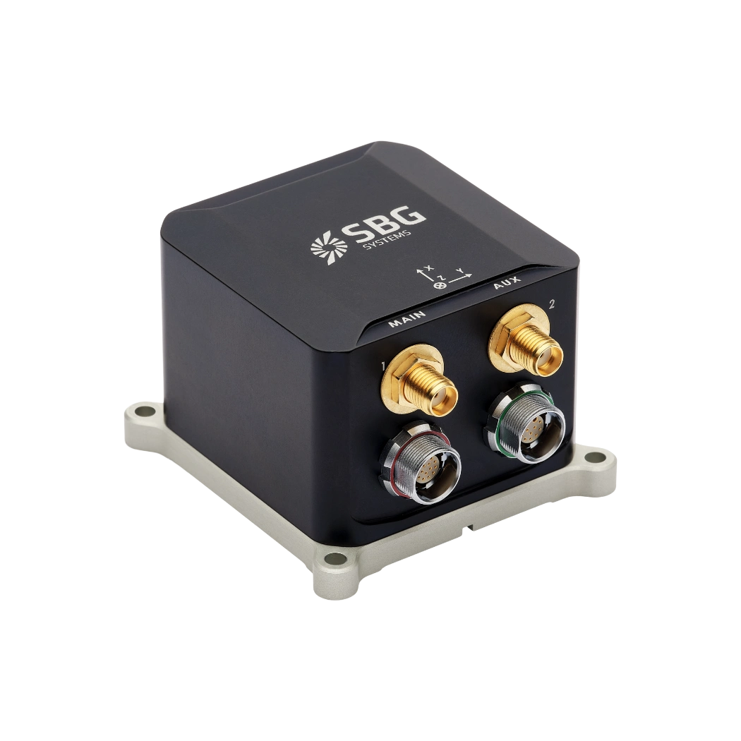
Ellipse-D is the smallest Inertial Navigation System with dual-antenna GNSS, offering precise heading and centimeter-level accuracy in any condition.
INS Dual Antenna RTK INS 0.05 ° Roll and Pitch 0.2 ° Heading
Discover
Ellipse-D
Ekinox Micro INS Mini Unit Right

Ekinox Micro

Ekinox Micro is a compact, high-performance INS with dual-antenna GNSS, delivering unmatched accuracy and reliability in mission-critical applications.
INS Internal GNSS single/dual antenna 0.015 ° Roll and Pitch 0.05 ° Heading
Discover
Ekinox Micro
Stellar 40 Silver Right Mini

Stellar-40

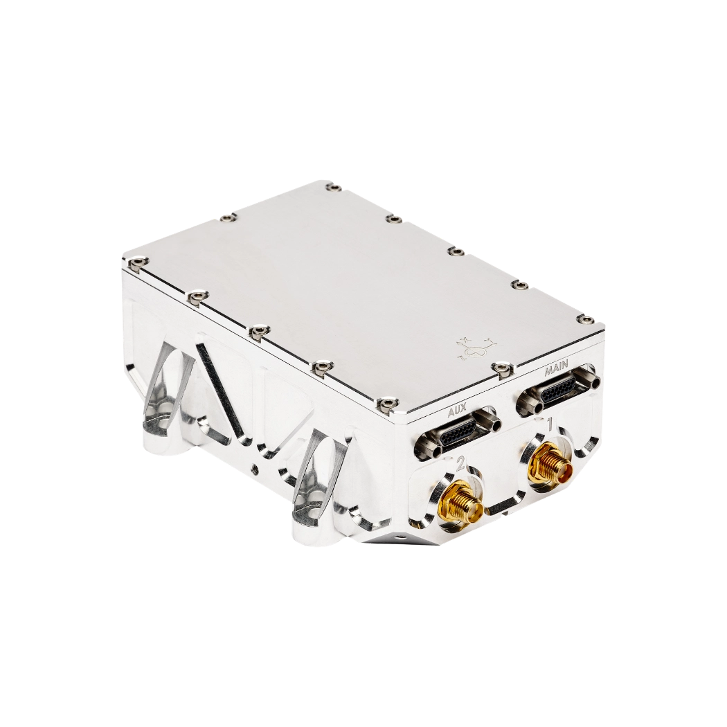
The Stellar-40 is a tactical-grade INS engineered for maximum resilience against vibrations, jamming, and spoofing. It provides unmatched accuracy and reliability for your most demanding mission-critical applications.
INS Advanced jamming and spoofing resilience Position error down to 0.2 % DT in GNSS-denied 0.05 ° Heading (RTK)
Discover
Stellar-40

Download Products Brochures

Our brochures provide comprehensive insights to help you make informed decisions. Moreover, they combine clear technical information with engaging content. As a result, they offer a valuable resource for customers, partners, and stakeholders.

Our use cases

Discover how inertial navigation technology enables precise, reliable positioning for autonomous mining equipment in demanding environments.
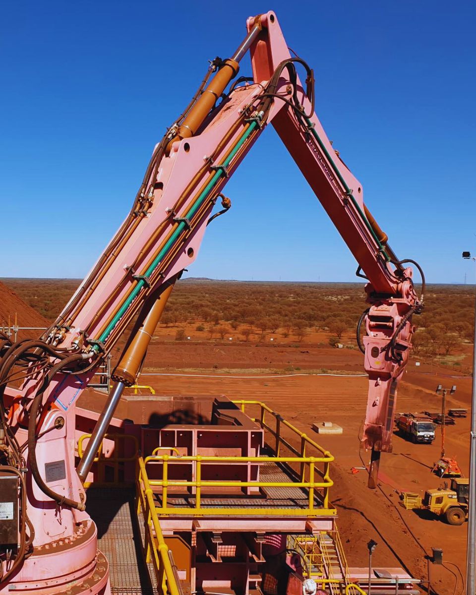
Transmin

Ellipse-A chosen for remotely operated rockbreakers

Automated control system
Case Study Transmin
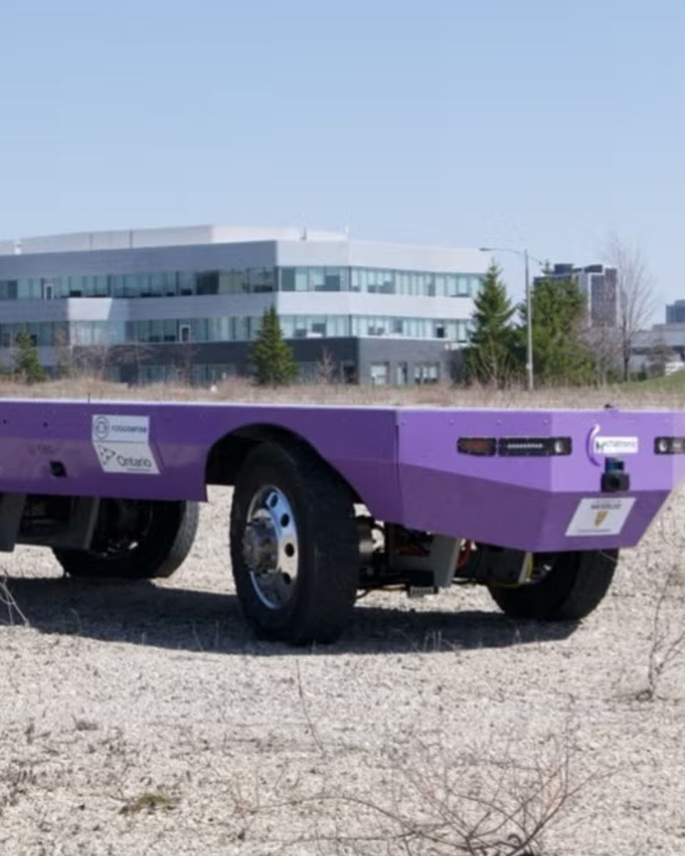
University of Waterloo's Mechatronic Vehicle Systems Lab

Ellipse powers a self-driving truck

Autonomous navigation
WATonoTruck Autonomous
Fraunhofer Institute

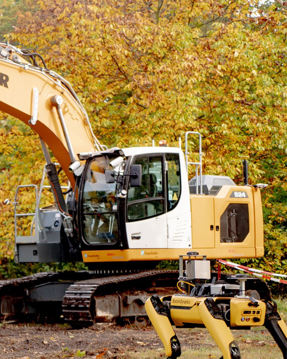
Collaboration with the Fraunhofer Institute

Autonomous vehicles
Fraunhofer And SBG Partnership
Treeswift

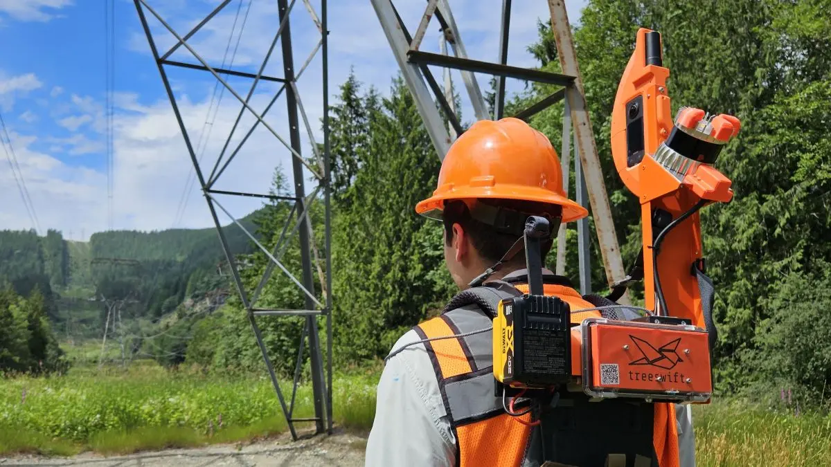
How Treeswift is modernizing utility field operations

Mobile Mapping
Utility Field Technician Wearing Treeswift Swiftpack AI Powered LiDAR Device During Vegetation Management Inspection
TREALIS

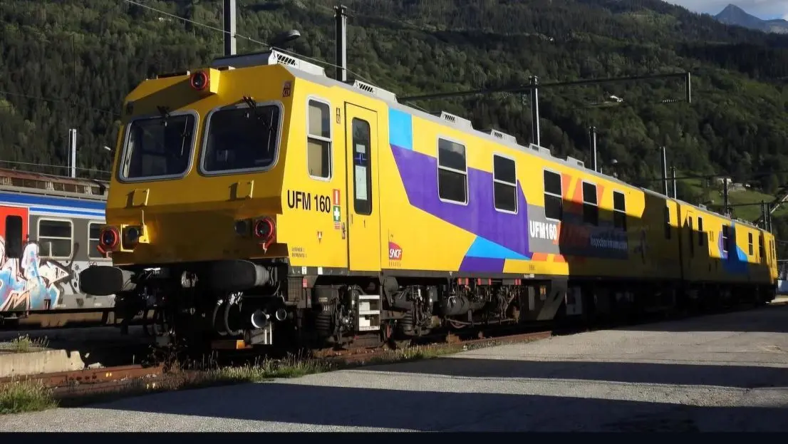
TREALIS’s rail defect detection with Apogee Navsight

Tram and train positioning
TREALIS Inspection Train Performing Rail Defect Detection On French Railway Network
GapEOD

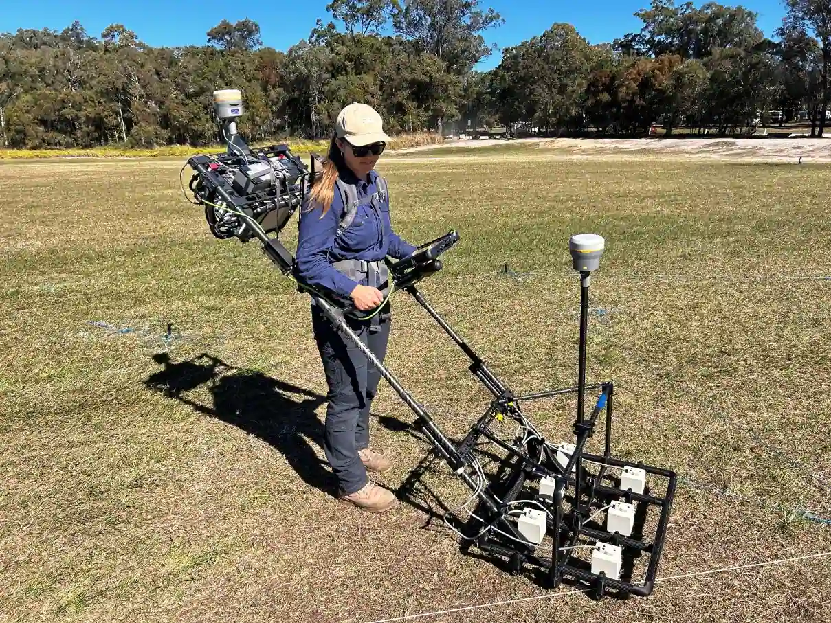
How GapEOD powers safer geophysical surveys with Ellipse

Tram and train positioning
GapEOD's System Controlled And In Action
See all the use cases

They talk about us

Hear first hand, from the innovators and clients who have adopted our technology.
Logo WarnowstromerAI Autonomous Ferry Project
WarnowstromerAI
“The Ekinox Micro is the best sensor equipment to advance autonomous shipping in urban areas.”
Team WarnowstromerAI
Logo GapEOD Survey
GapEOD
“Overall, the SBG solution matches our application constraints very well. It delivers the heading stability and accuracy we needed, and in day‑to‑day operation it performs reliably across all our platforms.”
Mari-Liis Tilk, Project Manager
University of Waterloo
“Ellipse-D from SBG Systems was easy to use, very accurate, and stable, with a small form factor—all of which were essential for our WATonoTruck development.”
Amir K, Professor and Director

Do you have questions?

Explore the most common questions about autonomous mining, from navigation and positioning to sensor fusion and machine control.

What is a payload?

A payload refers to any equipment, device, or material that a vehicle (drone, vessel …) carries to perform its intended purpose beyond the basic functions. The payload is separate from the components required for the vehicle operation, such as its motors, battery, and frame.

Examples of Payloads:

  • Cameras: high-resolution cameras, thermal imaging cameras…
  • Sensors: LiDAR, hyperspectral sensors, chemical sensors…
  • Communication equipment: radios, signal repeaters…
  • Scientific instruments: weather sensors, air samplers…
  • Other specialized equipment