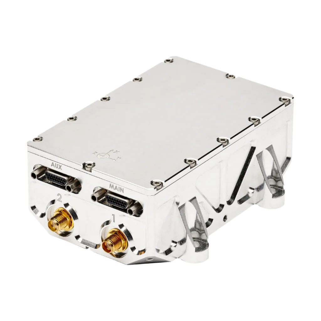
Stellar-40 Tactical-grade inertial navigation system
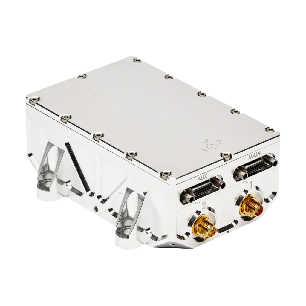
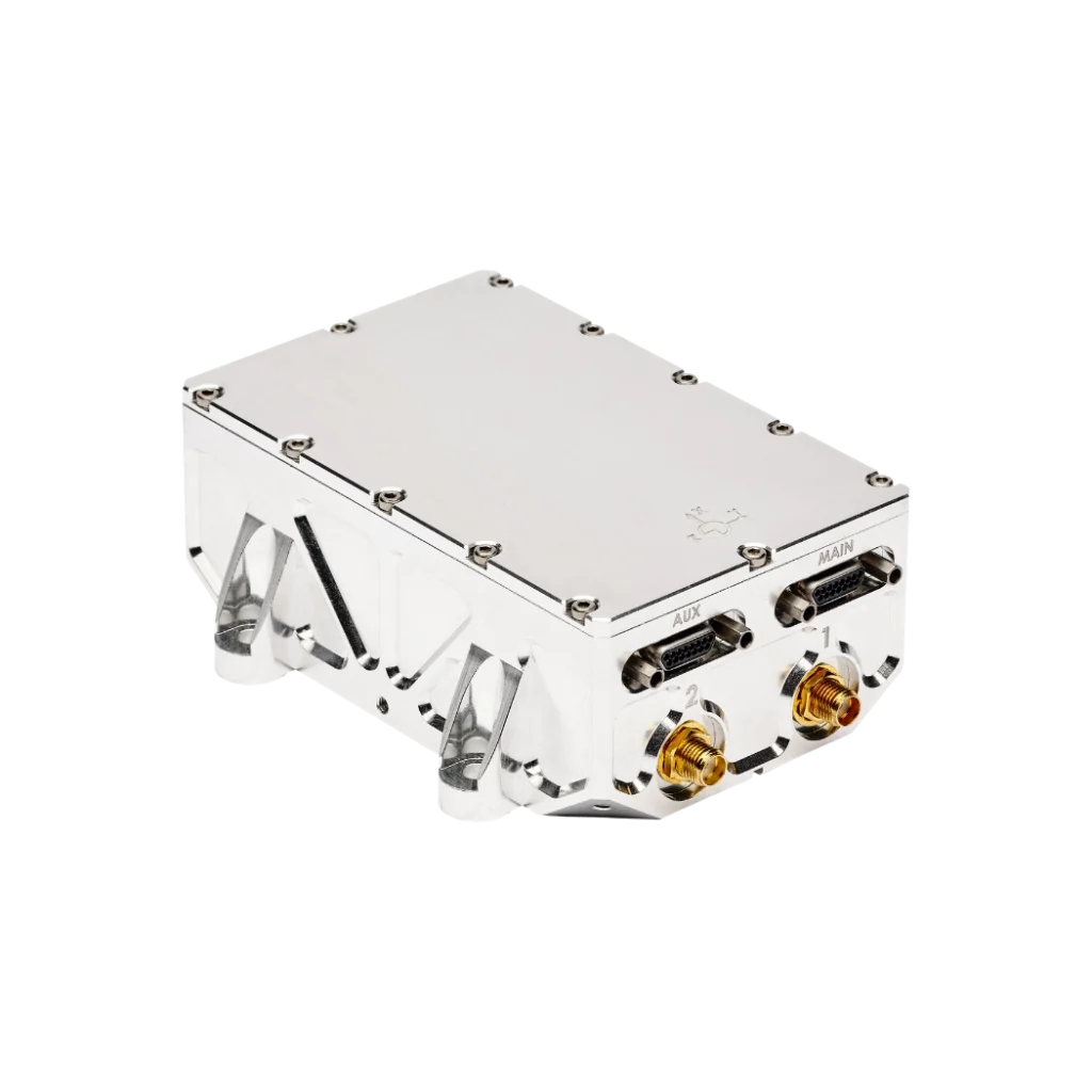
Stellar-40 is a tactical-grade GNSS-aided inertial navigation system driven by the SAF2Nav stack for unmatched resilience. It combines a tactical-grade IMU, a jamming- and spoofing-resilient GNSS receiver and advanced sensor-fusion algorithms within a rugged enclosure.
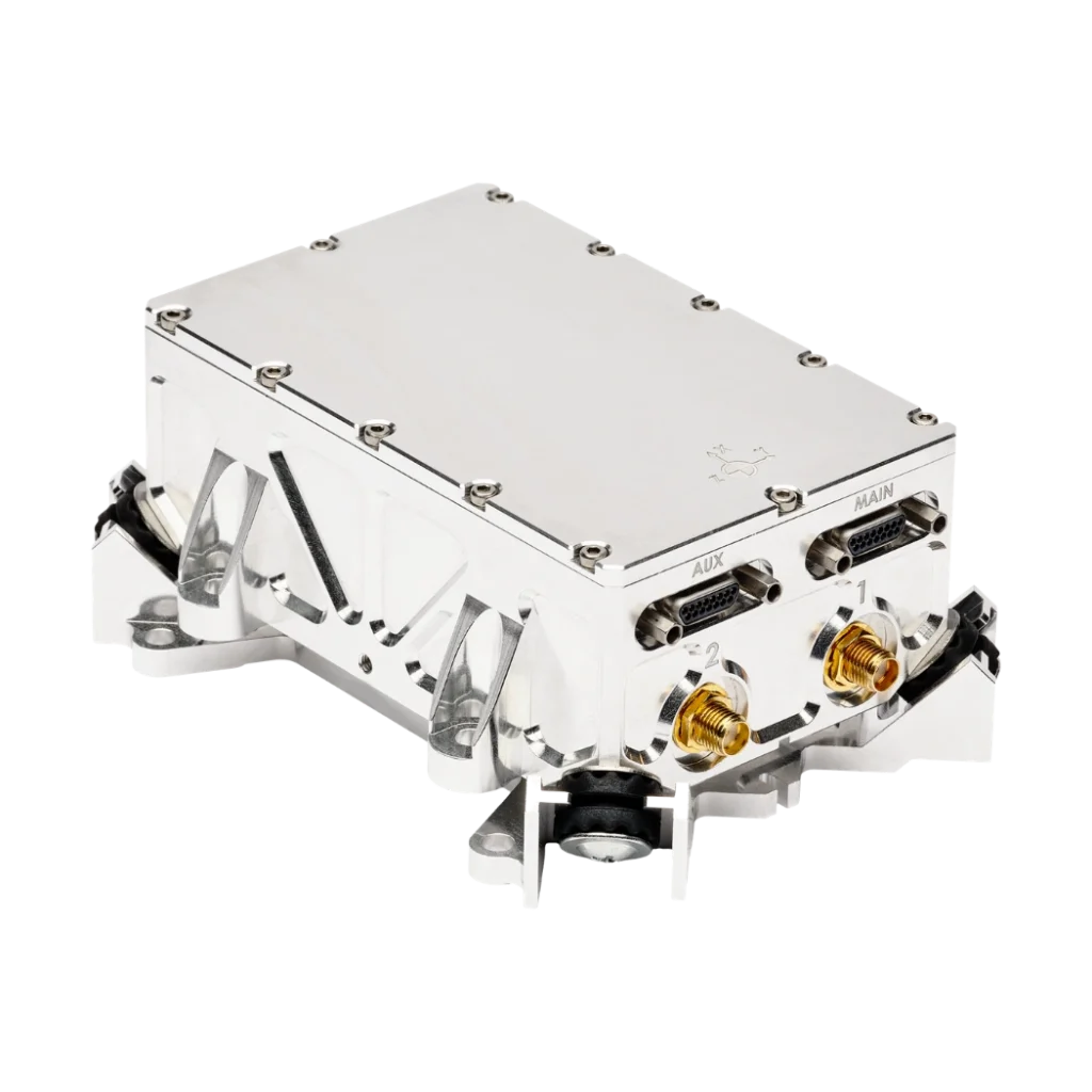
Merging high-end performance with industrial flexibility, Stellar-40 features a unique triple-layer vibration mitigation architecture in a design optimized for scalability, meeting the rigorous demands of mass production.
With this launch, SBG Systems further expands its portfolio of inertial navigation solutions tailored for mission-critical applications. Stellar-40 is ITAR FREE.
Stellar-40
Our Stellar-40 is the first of a new Stellar series launched to meet evolving operational requirements. This tactical-grade INS focuses on two main objectives: increasing resilience in harsh operational conditions and ensuring scalability, without compromising performance.
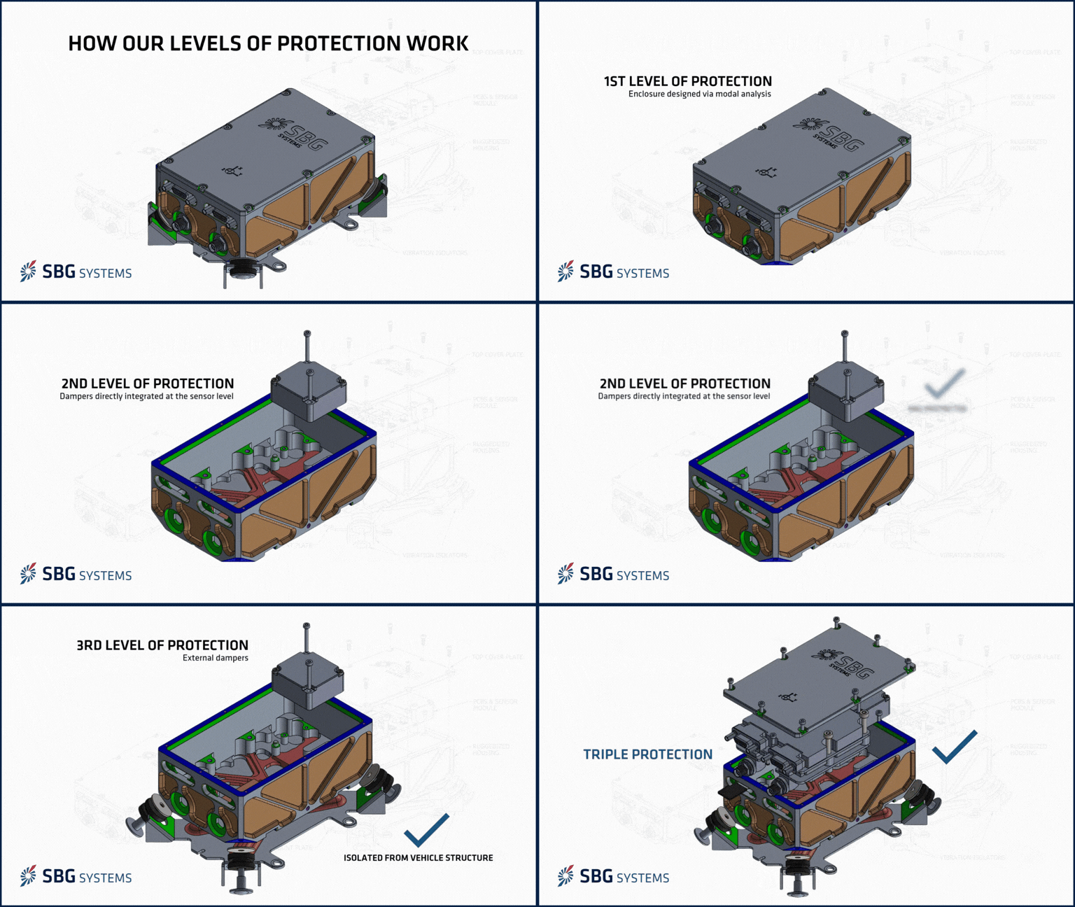
To address high-vibration challenges, SBG Systems has created a mechanical engineering masterpiece: a unique triple-layer vibration protection system. A complete modal analysis was performed to ensure the product is robust and reliable, while keeping the design remarkably simple.
Ready for dead reckoning navigation with the SAF2Nav engine at its core, Stellar-40 integrates seamlessly into your platform to deliver resilient navigation, even in the harshest GNSS-denied conditions.
Explore all features !




Stellar-40 at a glance
Rugged. Precise. Seamless.
Explore the key features below to learn more about Stellar-40.
Mechanical engineering masterpiece
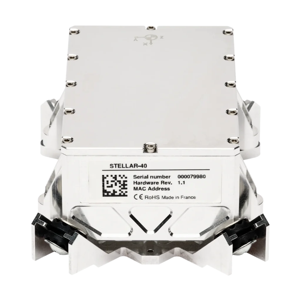
Vibration is the enemy of precision, which is why our INS features a triple-level vibration mitigation system. Our unique mechanical design isolates the sensors through three distinct stages to ensure maximum accuracy. The first stage involves IMU-level damping, providing internal damping directly at the sensor level. The second stage utilizes an optimized housing design, featuring an enclosure developed via modal analysis to eliminate resonance and reduce vibrations induced by the enclosure itself. Finally, the third stage employs external isolation through external dampers to mechanically separate the unit from the vehicle structure.
Resilient navigation stack with SAF2Nav
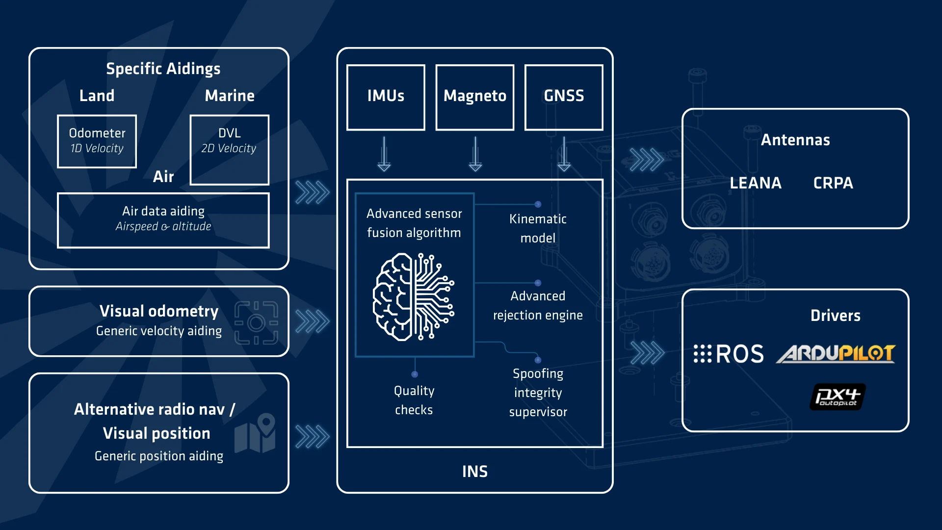
GNSS is no longer taken for granted. That is why our SAF2Nav stack lies at the heart of our INS, ensuring accuracy and security when GNSS fails or is attacked. It relies on three key pillars. First, multi-sensor fusion combines GNSS, IMU, air, radar, and vision data into a single coherent navigation solution. Second, a new spoofing integrity supervisor monitors sensors to detect anomalies instantly, drastically reducing critical time-to-alert. Finally, adaptive kinematic models maximize navigation accuracy, allowing the fusion algorithm to seamlessly match the specific motion dynamics of your platform.
Built-in vibrations monitoring tool
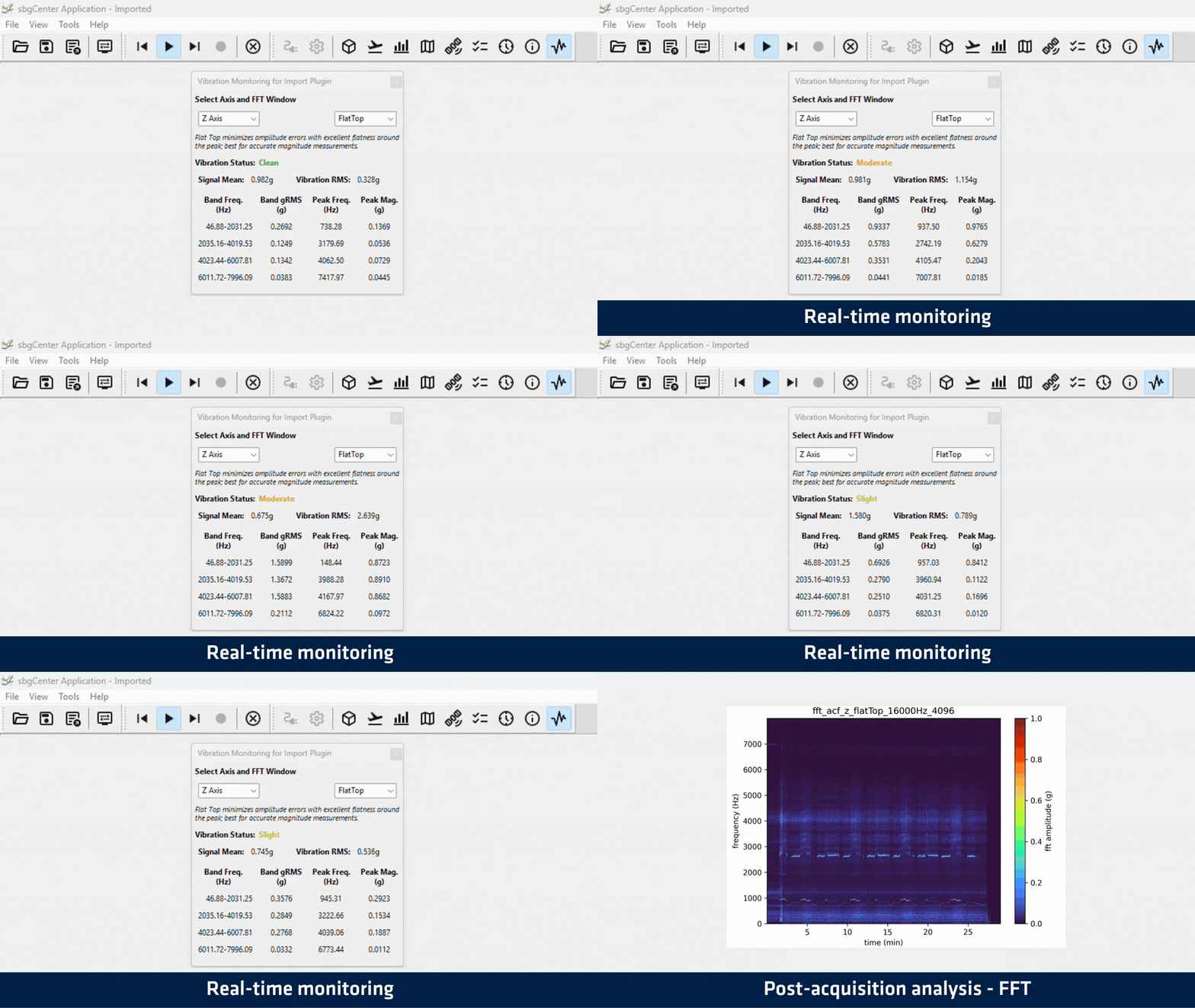
Monitoring vibrations to understand and mitigate structural resonances is rarely straightforward and often requires dedicated external hardware. That is why we integrated comprehensive monitoring tools directly into the Stellar-40 INS. The system features a dedicated high-bandwidth accelerometer operating up to 16 kHz paired with advanced onboard processing capabilities. It provides real-time visualization of RMS, peak magnitude, and peak frequency across four distinct frequency bands, allowing users to pinpoint exactly where critical vibrations occur. Furthermore, this valuable data is seamlessly recorded and reused for subsequent in-depth FFT analysis.

Ecosystem compatibility
A powerful navigation system is only as good as its ability to integrate seamlessly into your architecture. That is why ecosystem compatibility is a foundational pillar of our INS, engineered to accelerate deployment and eliminate integration overhead. First, the system is fully equipped with ready-to-use drivers offering native support for industry-standard autonomous platforms, including ROS2, ArduPilot, and PX4. Second, to guarantee maximum resilience in contested environments, it provides direct plug-and-play compatibility with advanced CRPA antennas. This deep interoperability ensures effortless deployment across all your critical platforms.
Missions capabilities & PERFORMANCE overview
Built for all missions
Explore how the product performs across operational environments. Each domain highlights mission-relevant benefits and key specifications.
Air mission performance
- UAV navigation: fixed-wing and rotary wing platforms
- UAV navigation: fixed-wing and rotary wing platforms
Breakdown of mission features
Designed for demanding airborne missions, the system combines robustness, precision, and seamless integration across fixed-wing and rotary-wing platforms.
- Dedicated dynamic profiles tailored to fixed-wing and rotary-wing platforms.
- Triple-layer vibration isolation for high-vibration airborne environments.
- Positioning integrity under GNSS jamming and spoofing, enabled by the SAF2Nav stack.
- Tactical dead reckoning powered by the SAF2Nav stack for continuous navigation during GNSS outages.
- Automatic wind speed estimation and compensation for pitot integration.
- Seamless autopilot integration, with our PX4 and ArduPilot drivers.

Land mission performance
- Land navigation : Onroad and Offroad vehicles
- Land navigation : Onroad and Offroad vehicles
Breakdown of mission features
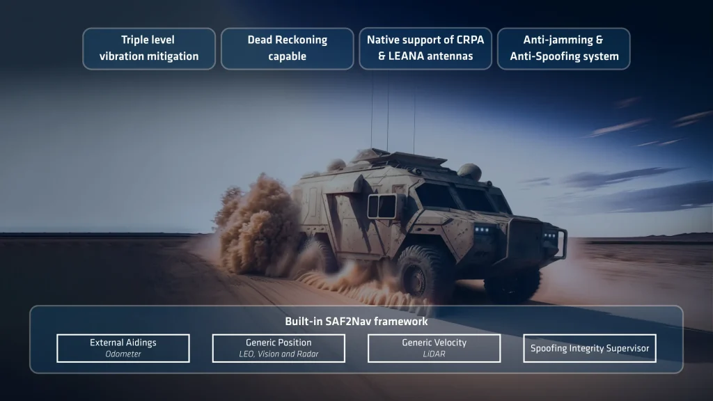
Designed for demanding terrestrial vehcile missions, the system combines robustness, precision, and seamless integration on any type of land vehicle.
- Dedicated dynamic profiles tailored to offroad or onroad vehicles.
- Triple-layer vibration isolation for high-vibration environments.
- Positioning integrity under GNSS jamming and spoofing, enabled by the SAF2Nav stack.
- Wheel odometer and slam velocity inputs for improved dead reckoning performance
- Tactical dead reckoning powered by the SAF2Nav stack for continuous navigation during GNSS outages.
Surface navigation performance
- Marine navigation : All size of manned and unmanned surface vessels
- Marine navigation : All size of manned and unmanned surface vessels
Breakdown of mission features
Designed for demanding marine missions, the system combines robustness, precision, and seamless integration on any type of surface vessel.
- Dedicated dynamic profiles tailored to marine surface vehicle.
- Triple-layer vibration isolation for high-vibration environments.
- Positioning integrity under GNSS jamming and spoofing, enabled by the SAF2Nav stack.
- DVL or loch velocity inputs for improved dead reckoning performance
- Automatic current speed estimation and compensation for watertrack speed compensation.
- Tactical dead reckoning powered by the SAF2Nav stack for continuous navigation during GNSS outages.

Specifications
Vehicle compatibility
Surface vessels, underwater vehicles, marine survey, marine & harsh marine Air
Plane, helicopters, aircraft, UAV Land
Car, automotive, train/railway, truck, two wheelers, heavy machinery, pedestrian, backpack, off road
GNSS performance
Dual antenna, 789 channels GNSS range
500 m/s and 80 km altitude Frequency band
Multi-frequency GNSS features
SBAS, RTK, PPK, RAW GPS signals
L1C/A, L1C, L2C, L2PY, L5 Galileo signals
E1, E5a, E5b, E6BC Glonass signals
L1C/A, L2C/A, L2P, L3OC Beidou signals
B1I, B1C, B2a, B2I, B3I, B2b Others signals
NaviC L5, L-Band, QZSS GNSS time to first fix
< 35 s Jamming & spoofing
Automatic anti-jamming & anti-spoofing, OSNMA, advanced automatic multi-sensor rejection
Environmental specifications & operating range
IP-65 Operating temperature
-40 °C to 71 °C Vibrations
3 g RMS – 20Hz to 2kHz Shocks
500 g for 0.3 ms MTBF (computed)
246 000 hours Compliant with
MIL-STD 461G | MIL-STD 1275E | MIL-STD 810H
Interfaces
GNSS, RTCM, NTRIP, Airdata, Odometer, Generic Velocity and Position Output protocols
NMEA, ASCII, sbgECom (binary), REST API Input protocols
NMEA, ASCII, sbgECom (binary), REST API Datalogger
8 GB or 48 h @ 200 Hz Output rate
200 Hz (IMU, INS) Serial ports
4x serial I/O up to 921,600 bps CAN
1x CAN 2.0 A/B bus, up to 1 Mbps Sync OUT
2x Sync out (1x RS232 + 1x TTL levels) Sync IN
4x Sync Inputs (RS232 levels) Ethernet
1x Ethernet Full duplex (10/100 base T) PTP / NTP, NTRIP, Web interface, FTP Connectors
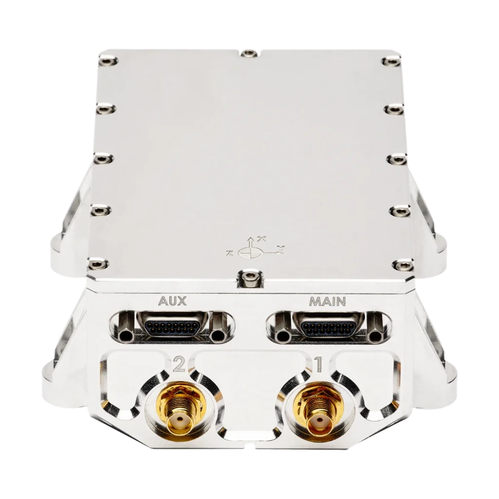
2x Micro-D 15 (I/O) 2x SMA connectors (antennas)
Mechanical & electrical specifications
9 to 36 VDC Power consumption
< 3 W without antennas Weight (g)
365 g / 443 g with damper Dimensions (LxWxH)
81 mm x 130 mm x 40 mm
Timing specifications
< 200 ns PTP accuracy
< 1 µs PPS accuracy
< 1 µs (jitter < 1 µs) Drift in dead reckoning
1 ppm
Stellar-40 datasheet
Get all the product features and specifications delivered straight to your inbox!
Compare Stellar-40 with other products
Go ahead and compare our most advanced inertial range of sensors for navigation, motion, and heave sensing. Full specifications can be found in the Hardware Manual available upon request.
Stellar-40 |
||||
|---|---|---|---|---|
| Single point horizontal position | Single point horizontal position 1.2 m | Single point horizontal position 1.2 m | Single point horizontal position 1.0 m | Single point horizontal position 1.2 m |
| Spoofing and jamming performance rating | Spoofing and jamming performance rating ★★★★★ | Spoofing and jamming performance rating ★★★☆☆ | Spoofing and jamming performance rating ★★★☆☆ | Spoofing and jamming performance rating ★★★☆☆ |
| Spoofing and jamming resilience | Spoofing and jamming resilience All constellations, full band, advanced monitoring and mitigation | Spoofing and jamming resilience All constellations, dual band, monitoring and mitigation | Spoofing and jamming resilience All constellations, triple band, advanced monitoring and mitigation | Spoofing and jamming resilience All constellations, dual band, monitoring and mitigation |
| Vibrations resilience | Vibrations resilience Triple level | Vibrations resilience One level | Vibrations resilience One level | Vibrations resilience One level |
| Dead reackoning | Dead reackoning Down to 0.2 % DT (Onroad vehicle, dual antenna GNSS and odometer) | Dead reackoning Down to 0.2 % DT (Onroad vehicle, dual antenna GNSS and odometer) | Dead reackoning < 0.1 % DT (Onroad vehicle, dual antenna GNSS and odometer) | Dead reackoning Down to 0.5 % DT (Onroad vehicle, dual antenna GNSS and odometer) |
| Weight (g) | Weight (g) 365 g | Weight (g) 165 g | Weight (g) < 900 g | Weight (g) 65 g |
| Dimensions (LxWxH) | Dimensions (LxWxH) 81 x 130 x 40 mm | Dimensions (LxWxH) 42 x 57 x 60 mm | Dimensions (LxWxH) 130 x 100 x 75 mm | Dimensions (LxWxH) 46 x 45 x 32 mm |


Compatibility



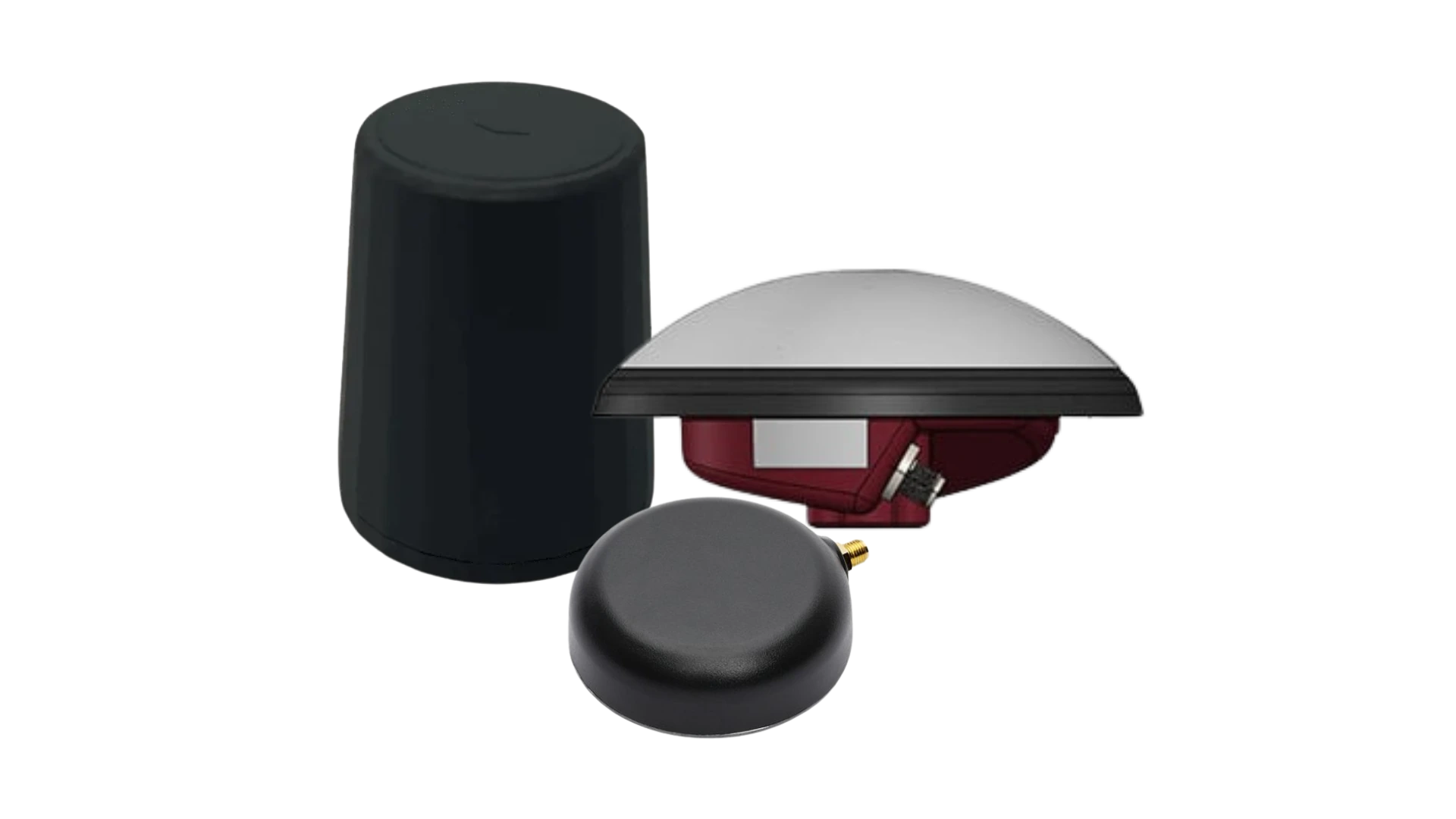
A compatible selection of anti-jamming and spoofing antennas
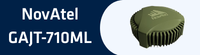
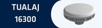
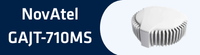
We have curated an optimal selection of anti-jamming and anti-spoofing antennas, fully tested and validated for compatibility. This range includes proven technologies such as CRPA (Controlled Reception Pattern Antenna) and LEANA (Low-Elevation Anti-Jam Navigation Antenna).
Explore our recommended solutions!

Documentation & resources
Stellar-40 comes with comprehensive online documentation, designed to support users at every step.
From installation guides to advanced configuration and troubleshooting, our clear and detailed manuals ensure smooth integration and operation.
Our case studies
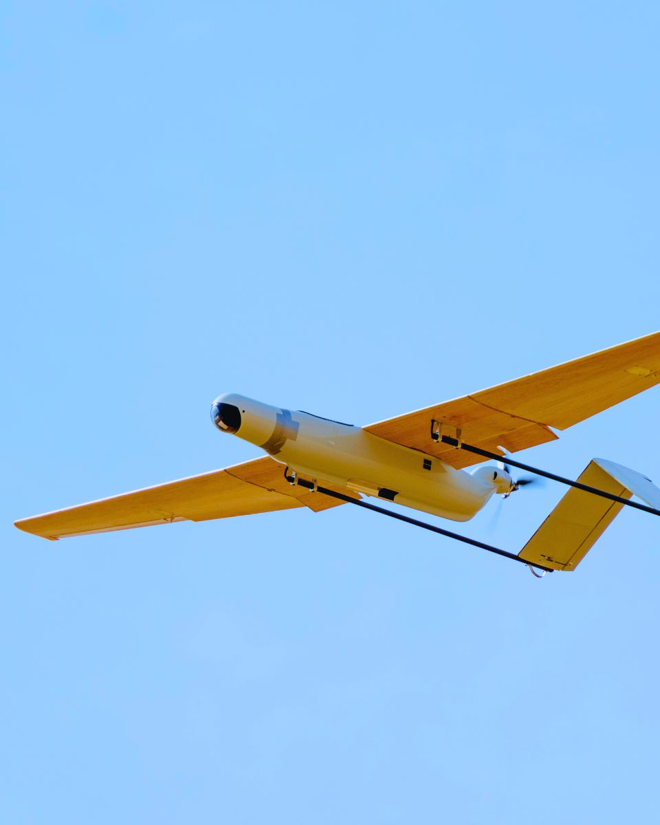
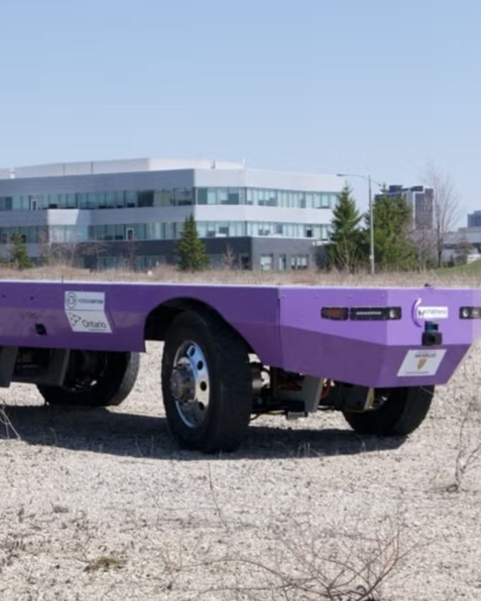
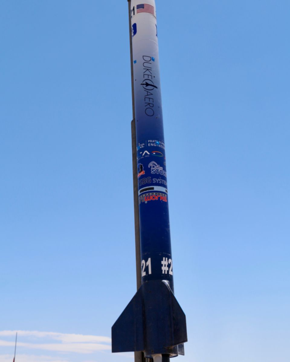
Explore real-world use cases demonstrating how our solutions enhance performance, reduce downtime, and improve operational efficiency. Learn how our advanced sensors and intuitive interfaces provide the precision and control you need to excel in your applications.



Additional products & accessories
Discover how our solutions can transform your operations by exploring our diverse range of applications. With our Motion and Navigation sensors and software, you gain access to state-of-the-art technologies that drive success and innovation in your field.
Join us in unlocking the potential of inertial navigation and positioning solutions across various industries.

Qinertia GNSS-INS
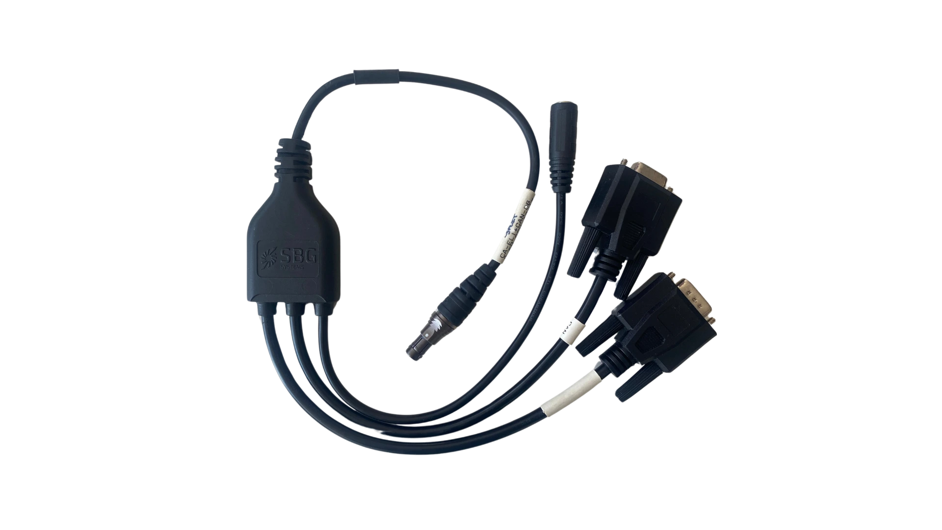
Cables
GNSS Antennas
Production process
Discover the precision and expertise behind every SBG Systems products such as an IMU, AHRS or INS. This following video offers an inside look at how we meticulously design, manufacture, and test our high-performance inertial navigation systems. From advanced engineering to rigorous quality control, our production process ensures that each product meets the highest standards of reliability and accuracy.
Watch now to learn more!

Ask for a quotation
They talk about us
We showcase the experiences and testimonials from industry professionals and clients who have leveraged our products in their projects.
Their insights reflect the quality and performance that define our INS, emphasizing its role as a trusted solution in the field.
Discover how our innovative technology has transformed their operations, enhanced productivity, and delivered reliable results across various applications.



FAQ section
Welcome to our FAQ section, where we address your most pressing questions about our cutting-edge technology and its applications. Here, you’ll find comprehensive answers regarding product features, installation processes, troubleshooting tips, and best practices to maximize your experience with our compact INS. Whether you’re a new user seeking guidance or an experienced professional looking for advanced insights, our FAQs are designed to provide the information you need.
Find Your Answers Here !
What is dead reckoning in navigation?
Dead reckoning is a method of navigating without GNSS signals by relying on inertia and other sensor data to maintain continuous tracking. Usually, when GNSS is lost, a system loses its position entirely. With dead reckoning, the system calculates a continuous position that will slowly drift over time. The rate of this drift depends on the quality of the internal IMU and the availability of external aiding sensors.
What formats do you support for external aidings (e.g., airdata, vision)?
The Stellar-40 uses our proprietary sbgECom protocol, which utilizes clearly defined message frames. Using those predefined messages, the system can seamlessly ingest airdata, body velocities, and absolute position data from any external sensor capable of providing that information.
Is there a specific field to manually enter wind estimation?
No, as it is not required. The Stellar-40’s advanced sensor fusion algorithm automatically calculates and estimates wind conditions in real-time, eliminating the need for you to input it manually.
What external aiding options are available for land-based applications?
For land platforms, the Stellar-40 supports a variety of aiding inputs to improve navigation accuracy, especially in GNSS-denied environments. These include hardware odometers (wheel odometry), velocity aidings from external sensors (such as LiDAR or optical sensors), and absolute position aidings.
How do I choose between the damped and non-damped versions of the Stellar-40?
The right choice depends on your operating environment. We highly recommend the damped version for platforms exposed to harsh, vibrating environments, such as deep strike drones or Unmanned Ground Vehicles (UGVs). If you are unsure which version suits your application, our support team is ready to help you make the right choice.
What is SBAS ?
What is SBAS ?
Satellite-Based Augmentation System (SBAS) is a GNSS augmentation technology that improves the accuracy, integrity, availability, and continuity of satellite positioning. Initially developed to support aviation, SBAS has become a valuable navigation aid for applications such as UAVs, marine navigation, precision agriculture, GIS mapping, autonomous vehicles, and inertial navigation systems (INS). Unlike Real-Time Kinematic (RTK) or Precise Point Positioning (PPP), SBAS provides free meter-level positioning without requiring a local base station or an Internet connection.
A standalone GNSS receiver determines its position by measuring pseudoranges from satellites belonging to constellations such as GPS, Galileo, GLONASS, or BeiDou. However, these measurements are affected by several error sources, including satellite clock drift, orbit (ephemeris) errors, ionospheric delay, tropospheric delay, receiver noise, and multipath. SBAS continuously estimates the largest of these errors and broadcasts real-time corrections that significantly improve the navigation solution.
The SBAS architecture relies on a network of precisely surveyed reference stations distributed across a region. These stations continuously monitor GNSS signals and compare the measured satellite ranges with their known positions to estimate satellite clock, orbit, and ionospheric errors. The measurements are transmitted to master control centers, which combine data from all reference stations to generate correction messages and integrity information. These messages are then uplinked to geostationary satellites that rebroadcast them to SBAS-enabled GNSS receivers. The receiver applies the corrections before computing its position, effectively reducing the dominant error sources affecting the pseudorange measurements.
Mathematically, the corrected pseudorange can be expressed as:
Pcorrected = Pmeasured − Δclock − Δorbit − Δiono
where Pmeasured is the original pseudorange measurement, Δclock represents the satellite clock correction, Δorbit is the orbital correction, and Δiono is the ionospheric delay correction.
These corrections typically reduce standalone GNSS horizontal positioning errors from approximately 3–10 meters to around 1–2 meters. Although this level of accuracy is lower than the centimeter-level performance achieved with RTK or PPP, SBAS offers a major advantage: integrity monitoring. Rather than simply improving position accuracy, SBAS continuously evaluates the health of every monitored satellite and rapidly alerts users if a satellite becomes unreliable because of clock anomalies, orbital errors, or signal degradation. This capability is essential for safety-critical applications where users must know whether the navigation solution can be trusted.
Several regional SBAS services operate around the world. These include WAAS in North America, EGNOS in Europe, MSAS in Japan, GAGAN in India, SDCM in Russia, KASS in South Korea, and SouthPAN in Australia and New Zealand. Modern multi-frequency GNSS receivers generally support multiple SBAS services automatically, depending on their geographic location.
For inertial navigation systems, SBAS provides a more accurate and reliable GNSS reference that improves sensor fusion performance. An Extended Kalman Filter (EKF) uses the corrected GNSS position and velocity measurements to periodically bound the drift accumulated by the inertial sensors. Compared with standalone GNSS, SBAS reduces measurement noise and satellite-related biases, resulting in more stable position and velocity updates while providing valuable integrity information for navigation algorithms. However, SBAS does not increase the GNSS update rate and cannot compensate for GNSS outages. During signal interruptions, overall navigation performance still depends primarily on the quality of the IMU and the effectiveness of the INS estimation algorithm.
SBAS is therefore an excellent solution for applications requiring free, globally available meter-level positioning with high reliability and integrity. It is particularly well suited for autonomous vehicles, UAVs, marine navigation, agriculture, and industrial systems where robust navigation is more important than achieving centimeter-level accuracy. When applications demand survey-grade positioning, RTK or PPP remain the preferred correction techniques, while SBAS serves as a dependable and widely available enhancement to conventional GNSS navigation.