Discover our solutions for challenging environments ↓

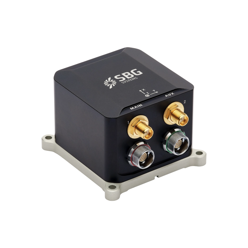

DDIL – Degraded, Denied, Intermittent, and Low-bandwidth
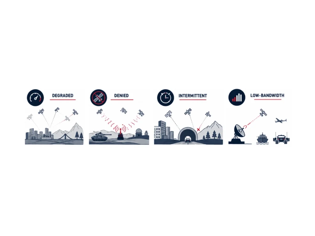
DDIL – Degraded, Denied, Intermittent, and Low-bandwidth environment describes operating conditions where positioning, navigation, timing (PNT), communication, or sensing capabilities become partially or completely unavailable. The DDIL conditions reduce situational awareness, increase navigation uncertainty, and challenge autonomous decision-making.
Modern navigation systems mitigate these effects by combining high-performance inertial sensors with multiple aiding sources through advanced sensor fusion algorithms.
Degraded environment
A degraded environment occurs when navigation or communication remains available but with reduced performance. Signal attenuation, multipath propagation, atmospheric disturbances, foliage, urban canyons, tunnels, adverse weather, electromagnetic interference, or partial sensor failures decrease accuracy without causing a complete outage.
Systems continue operating but produce larger positioning uncertainties.
Denied environment
A denied environment prevents the use of one or more essential navigation or communication services. GNSS jamming, spoofing, underground operations, underwater missions, dense indoor facilities, electronic warfare, or intentional radio silence eliminate external positioning updates.
In these situations, inertial navigation systems estimate position, velocity, and attitude independently until aiding sensors become available again.
Intermittent environment
An intermittent environment provides navigation or communication services only during short or unpredictable intervals. UAVs flying between buildings, autonomous ground vehicles entering tunnels, maritime platforms operating near cliffs, or satellites experiencing periodic visibility repeatedly lose and recover external measurements.
Sensor fusion algorithms must rapidly validate and integrate each new observation while maintaining navigation continuity during outages.
Intermittent environment
A low-bandwidth environment limits the amount or frequency of transmitted data. Tactical radio networks, satellite communications, underwater acoustic modems, remote industrial sites, and long-range unmanned systems often operate with constrained throughput.
Navigation systems therefore prioritize essential measurements, compress telemetry, reduce update rates, and execute most estimation locally to preserve operational performance.
Real-life scenarios and current technologies
Several DDIL scenarios combine multiple conditions simultaneously. Examples include GNSS-denied and communication-degraded, intermittent GNSS with low-bandwidth telemetry, electromagnetically contested environments, GPS-contested environments, communications-denied operations, sensor-denied missions, and multi-domain electronic warfare environments. These hybrid scenarios represent the most demanding operational conditions because they simultaneously affect navigation, communications, and situational awareness.
Modern INS architectures address DDIL environments by integrating IMUs with GNSS, odometers, LiDAR, cameras, Doppler Velocity Logs (DVL), Ultra-Short Baseline (USBL) systems, wheel encoders, radar, magnetometers, barometers, and other aiding sensors. Extended Kalman Filters (EKF), factor graph optimization, and simultaneous localization and mapping (SLAM) algorithms exploit every available observation to bound inertial drift and maintain robust positioning despite uncertain operating conditions.
High-performance MEMS and tactical-grade inertial navigation systems have become fundamental technologies for ensuring resilient PNT in DDIL environments. Their independence from external infrastructure enables continuous navigation when satellite signals, communications, or external references become unreliable or unavailable.