Explore our solutions during extended GNSS outages ↓

GNSS denied
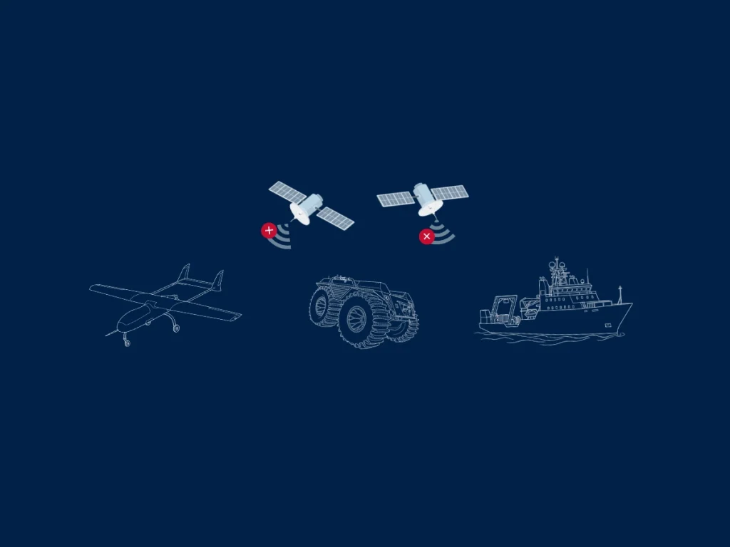
GNSS denied refers to an environment where Global Navigation Satellite System (GNSS) signals are unavailable or unreliable. Systems cannot receive accurate positioning, navigation, or timing data from satellites.
Several factors can create GNSS-denied conditions. Physical obstructions like buildings, tunnels, or dense forests can block satellite signals. Intentional interference, such as jamming or spoofing, can disrupt or falsify GNSS data. Environmental conditions, including atmospheric disturbances, may also degrade signal quality.
In GNSS-denied environments, standard GNSS-based navigation fails or becomes inaccurate. Autonomous systems must rely on alternative solutions to maintain performance. These solutions include inertial navigation systems, visual odometry, LiDAR, or radar-based localization.
Examples of GNSS denied scenarios
GNSS-denied scenarios are critical in defense and security operations. Adversaries often attempt to disrupt satellite signals to reduce navigation accuracy. Reliable operation in such conditions ensures mission continuity and system resilience.
Urban canyons frequently create these conditions due to signal reflection and blockage. Underground environments, such as mines or subways, completely prevent satellite signal reception. Indoor environments also lack reliable GNSS coverage.
Technologies used during GNSS-outage navigation
Companies design robust navigation systems to handle GNSS-denied situations. They integrate multiple sensors and advanced algorithms to estimate position and orientation.
1 – Inertial Navigation Systems (INS) play a central role. They use accelerometers and gyroscopes to estimate motion and position.
2 – Sensor fusion improves performance in GNSS-denied environments. Systems combine INS data with other sensors such as cameras, LiDAR, or radar. This approach increases robustness, improves accuracy and reduces drift over time.
3 – Visual odometry tracks motion using image sequences. LiDAR-based mapping provides accurate spatial awareness. Radar offers reliability in low-visibility conditions. Each technology contributes to resilient navigation.
GNSS-denied capability is essential for autonomous vehicles, UAVs, and marine systems. It ensures continuous operation when satellite signals become unavailable. This capability increases reliability, safety, and operational effectiveness in challenging environments.
