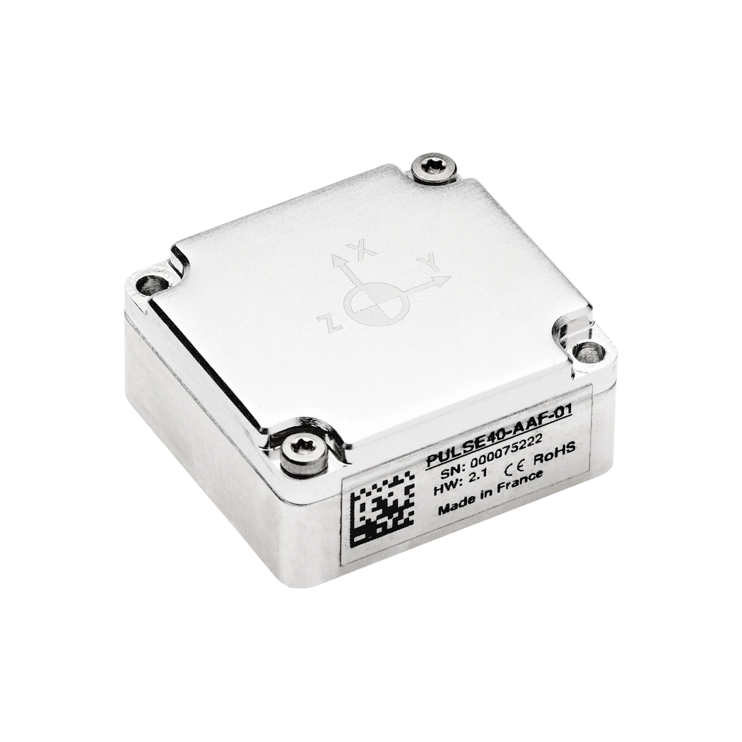
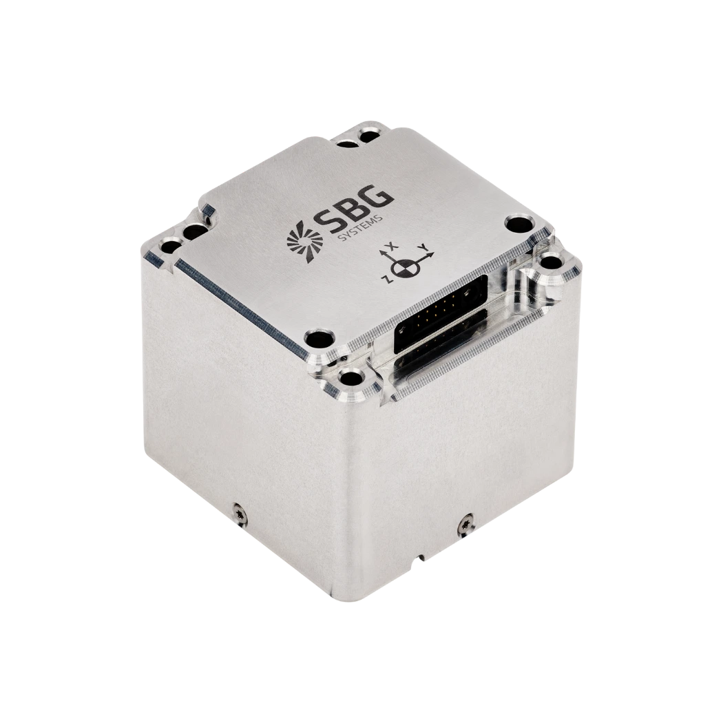
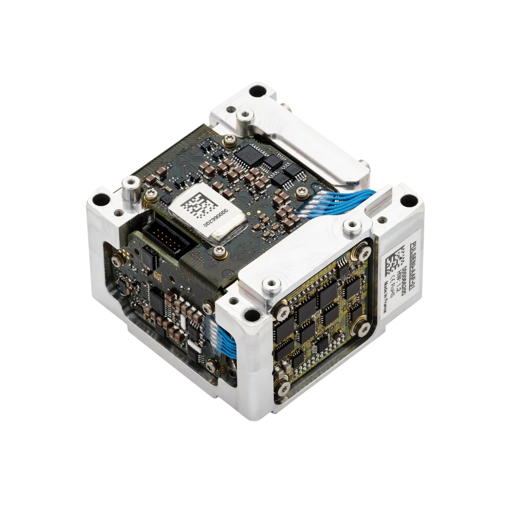
Navigation-grade IMU
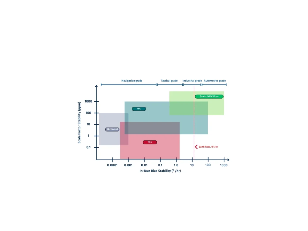
A navigation-grade IMU (Inertial Measurement Unit) is a high-performance motion sensor that measures three-axis angular velocity and three-axis linear acceleration with exceptional accuracy and stability. It combines three precision gyroscopes and three accelerometers in a rigidly aligned assembly. Manufacturers typically use Fiber Optic Gyroscopes (FOG), Ring Laser Gyroscopes (RLG), or high-end MEMS technologies to achieve navigation-grade performance.
Navigation-grade IMUs minimize sensor errors that accumulate during inertial navigation. Their gyroscopes typically exhibit bias instability below 0.01°/h, while accelerometers achieve bias stability of a few tens of micro-g. They also provide extremely low Angle Random Walk (ARW), Velocity Random Walk (VRW), scale factor error, non-linearity, and cross-axis sensitivity. These characteristics significantly reduce attitude, velocity, and position drift during GNSS outages.
Manufacturers calibrate each navigation-grade IMU individually using multi-axis motion tables across the complete operating temperature range. This factory calibration compensates for bias, scale factor, axis misalignment, temperature effects, and sensor non-linearity. Once calibrated, the correction parameters remain stored inside the device and are automatically applied during operation.
All navigation-grade IMUs operate at high sampling rates with deterministic latency and excellent synchronization capabilities. They integrate easily with GNSS receivers, odometers, Doppler Velocity Logs (DVL), USBL systems, air data sensors, and other external measurements through advanced sensor fusion algorithms such as Extended Kalman Filters (EKF).
Real-world applications of navigation grade IMUs
Navigation-grade IMUs support applications that require continuous, highly accurate navigation under demanding conditions. They provide precise motion and orientation data, even during long GNSS outages.
- Aerospace systems use navigation-grade IMUs for aircraft navigation, autopilot functions, flight control, spacecraft guidance, and satellite attitude determination.
- Unmanned aerial vehicles also rely on them for stable navigation and accurate trajectory control. Autonomous vehicles integrate these IMUs to estimate position, orientation, and motion with high precision. They improve localization, support sensor fusion, and maintain navigation when GNSS signals become unavailable.
- Marine systems use navigation-grade IMUs for vessel navigation, dynamic positioning, hydrographic surveying, and offshore operations. Autonomous underwater vehicles and remotely operated vehicles also depend on them for reliable underwater navigation.
- Defense platforms integrate navigation-grade IMUs into missiles, guided munitions, military aircraft, naval vessels, and land vehicles. They enable precise navigation, target tracking, stabilization, and mission execution in GNSS-denied environments.
- Surveying and mapping systems also benefit from navigation-grade IMUs. They provide accurate orientation for LiDAR, mobile mapping, and airborne photogrammetry, ensuring high-quality geospatial data.
Although navigation-grade IMUs cost significantly more than tactical-grade or industrial-grade devices, they deliver the lowest drift and highest long-term navigation accuracy available for mission-critical positioning, orientation, and navigation systems.