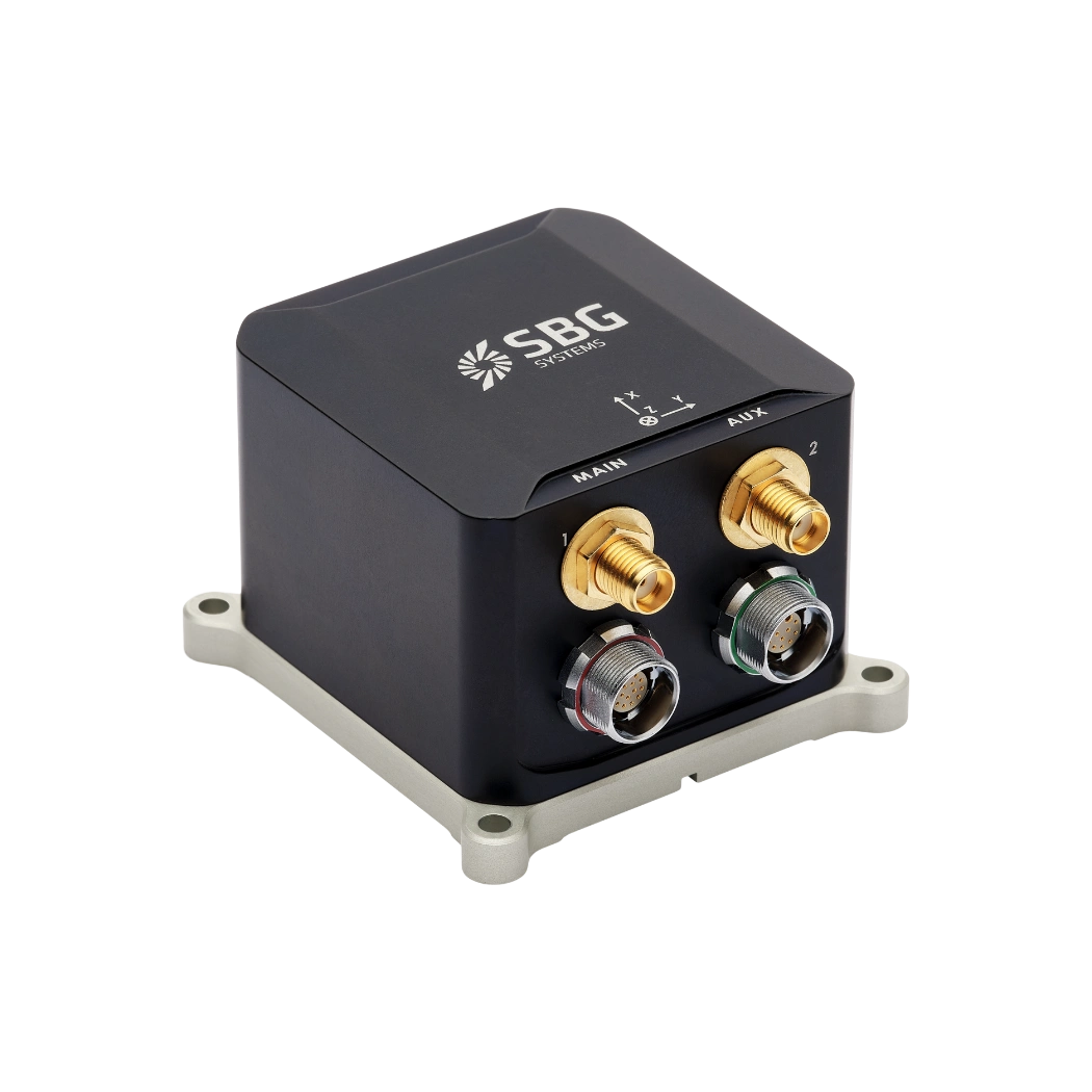
Motion sensors for gimbals
Our sensors combine the key requirements for gimbal applications: low noise and low latency combined with high-performance sensors able to withstand very high level of vibrations and shocks. This allows our sensors to be used on all kind of platforms from low dynamics marine vessel to high dynamic military drones.
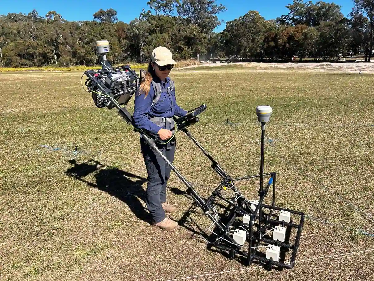
Our stabilization systems reduce the effects of vibrations and movements, maintaining steady sensor orientation. This stability enhances the quality of collected data, whether it’s from imaging devices, scientific instruments, or navigation systems, leading to more reliable and precise results.
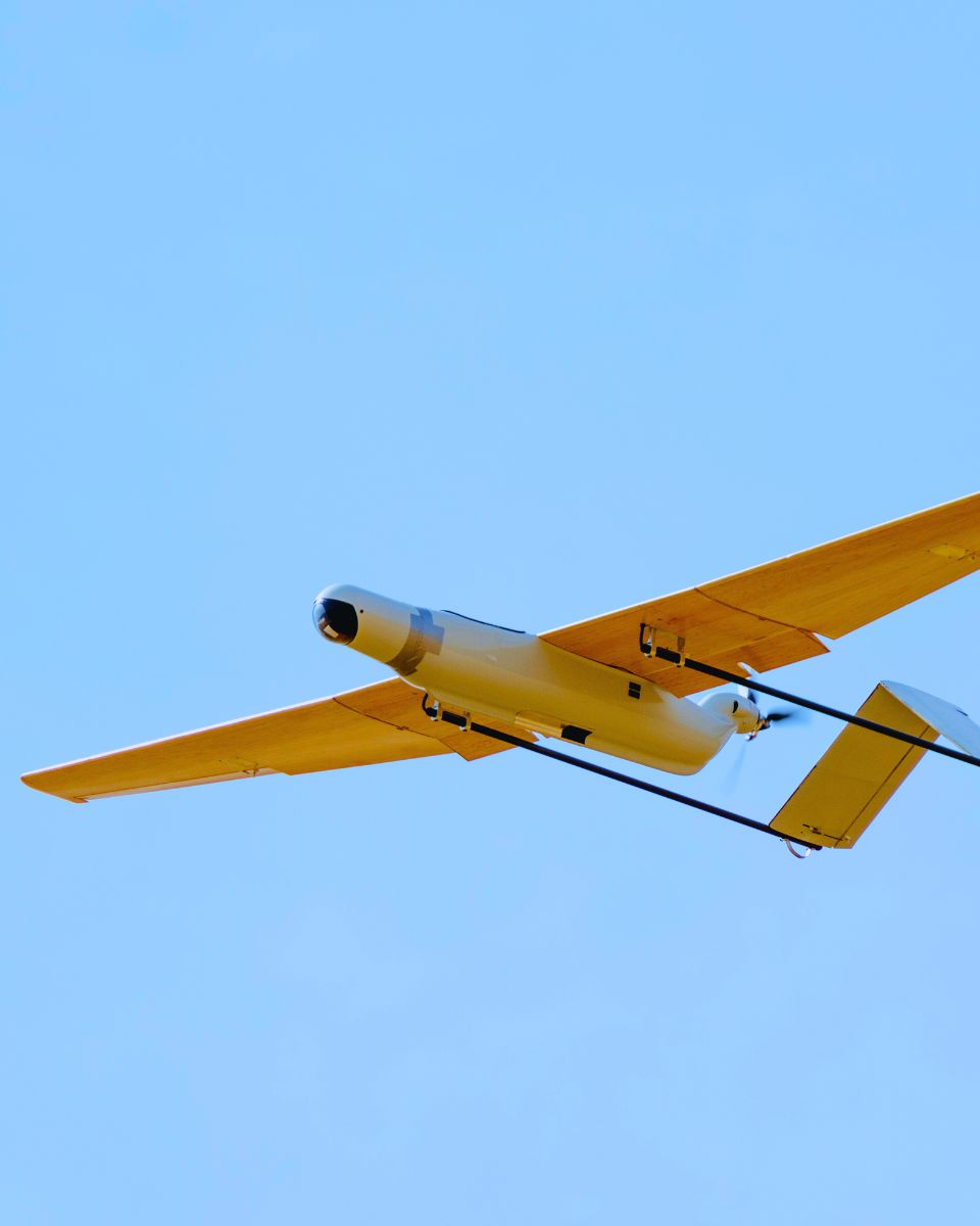
Aerial drones and surveillance systems equipped with pointing and stabilization technologies can perform complex tasks like surveying and monitoring more efficiently, deliver smooth video and accurate imaging, reducing the need for manual adjustments and rework.
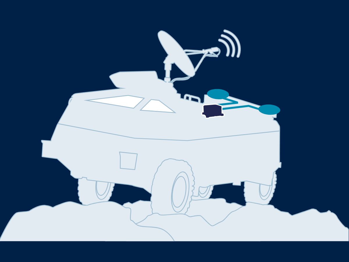
Stabilization and pointing of antennas
Antennas mounted on various type of vehicles require advanced pointing and stabilization systems to compensate for hazardous motion and to maintain the alignement with the emitter / receiver equipment on the move.
Our high-performance sensors—primarily gyroscopes and accelerometers—allow to maintain a stable heading, crucial for pointing, even in GNSS challenged environements. Furthermore, the low noise, low latency IMU measurement can be used to stabilize the antenna while compensating for vibrations, tilts or jerks.
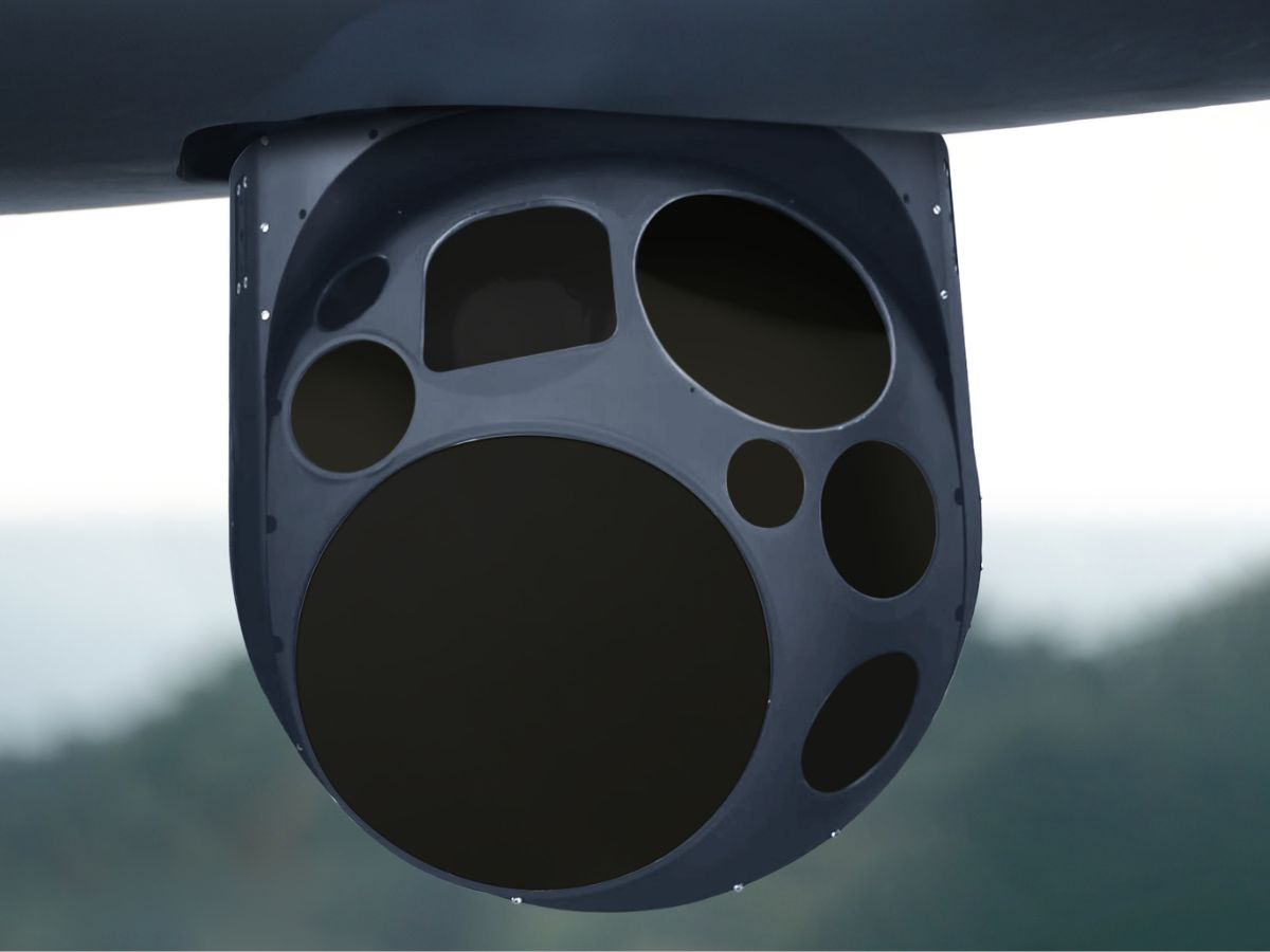
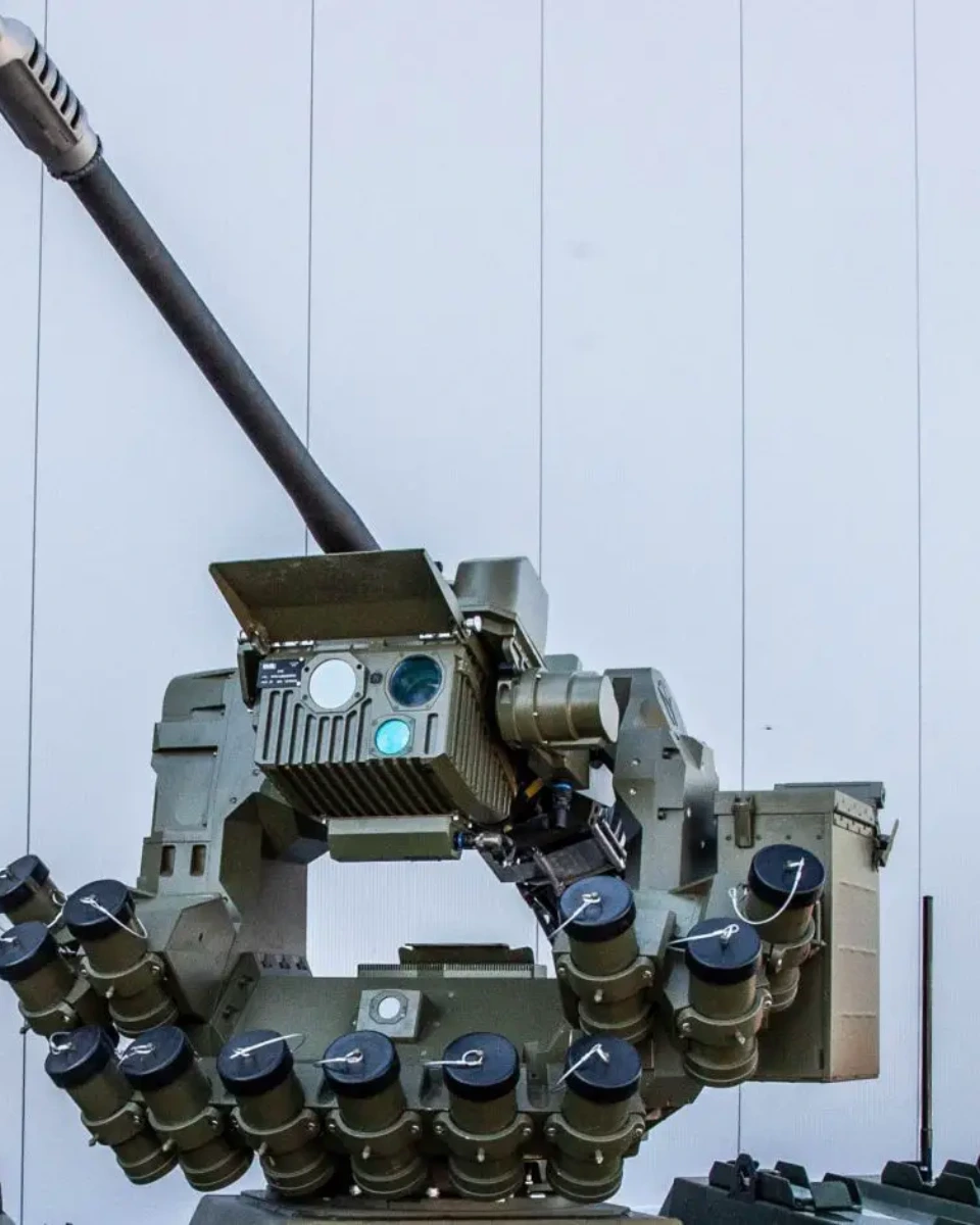
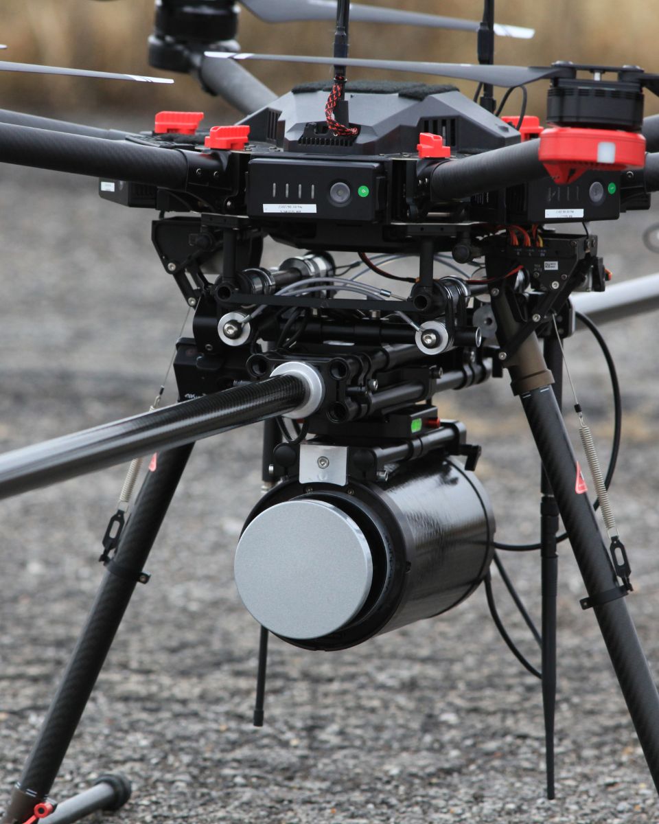
Target designation and tracking, turret pointing
From turrets mounted on land, sea or air vehicles, to handheld target designation and tracking systems, our motion sensors offer reliable pointing information with various sources of heading such as a magnetometer or a GNSS compass.
They provide precise pointing data for electro-optical turrets, integrating with EO payloads like thermal imagers, day cameras, and laser range finders. This enables real-time surveillance, target acquisition, and automatic tracking in both static and dynamic conditions.
These turrets track air, land, and sea targets in all lighting conditions, support fire control solutions, and maintain stable imagery even on moving platforms by compensating for vehicles or environmental motion.
This makes them essential for modern intelligence, surveillance, and reconnaissance missions.
Discover our solutions for pointing & stabilization
Our sensors deliver extremely low latency between motion and output. Moreover, we design each unit with signal conditioning and FIR filtering. This approach ensures high bandwidth while protecting measurements from vibrations.

Ellipse-A

Ellipse-D
Pulse-40
Ekinox Micro
Defense applications brochure
Get our brochure delivered straight to your inbox!
Case Studies
Discover how our motion and navigation systems enhance precision pointing and stabilization across industries. For example, they optimize satellite antenna alignment and improve camera stabilization on moving platforms. Moreover, our technology delivers unmatched accuracy and reliability, even in the most challenging conditions. Operators achieve superior performance and confidence in every application.
Explore real-world use cases demonstrating how our inertial solutions enhance performance, reduce downtime, and improve operational efficiency. Learn how our advanced sensors and intuitive interfaces provide the precision and control you need to excel in your applications.


They talk about us
Hear first hand, from the innovators and clients who have adopted our technology.
Their testimonials and success stories illustrate the significant impact our sensors have in practical pointing & stabilization applications.
Find out about other applications for inertial systems in defense
Our inertial systems track targets and stabilize weapons. They guide autonomous vehicles and enhance surveillance. Even in GNSS-challenged environments, they deliver reliable, real-time data. Moreover, advanced inertial technology supports mission-critical operations across all domains. Consequently, operators achieve higher precision, efficiency, and autonomy in complex missions. Explore other Defense applications.
Do you have questions?
Welcome to our FAQ section! Here, you’ll find answers to the most common questions about the applications we showcase. If you don’t find what you’re looking for, feel free to contact us directly!
What is inertial stabilization?
Inertial stabilization is a technology used to maintain the steady orientation and position of a device or platform despite external movements and vibrations.
It relies on inertial sensors, such as gyroscopes and accelerometers, to detect motion and disturbances in real-time. These sensors measure angular velocity and linear acceleration, allowing the system to calculate the necessary counter-movements to stabilize the device.
Inertial stabilization is crucial in various applications, including cameras, antennas, and weapon systems, especially in moving vehicles, ships, and aircraft. It ensures accurate targeting, clear imaging, and reliable data collection by minimizing the impact of motion on the equipment’s performance.
What is image stabilization?
Image stabilization using motion sensors is a MEMS-Based technology used to reduce blurriness in images and videos caused by unwanted camera movement, such as shaking or vibration.
Motion sensors, such as gyroscopes and accelerometers, detect and measure the movement of the camera in real-time. Gyroscopes sense angular movement (rotation) around different axes, while accelerometers detect linear motion.
They continuously feed data to the camera’s image stabilization system, which analyzes the direction and magnitude of the movement.
Based on the detected motion, the image stabilization system quickly compensates by moving optical elements or adjusting the camera sensor in the opposite direction of the detected movement. This counter-movement helps to stabilize the image.
By compensating for camera shake, image stabilization with motion sensors ensures clearer, sharper images and smoother videos, even in low-light conditions or when using a high zoom level.
How does a self-pointing antenna works?
A self-pointing antenna automatically aligns itself with a satellite or signal source to maintain a stable communication link. It uses sensors like gyroscopes, accelerometers, and GNSS to determine its orientation and location.
When the antenna is powered on, it calculates the necessary adjustments to align with the desired satellite. Motors and actuators then move the antenna to the correct position. The system continuously monitors its alignment and makes real-time adjustments to compensate for any movement, such as on a moving vehicle or vessel.
This ensures a reliable connection, even in dynamic environments, without manual intervention.
