Explore our solutions for high-dynamic maneuvers in autonomous mining ↓

Autonomous mining
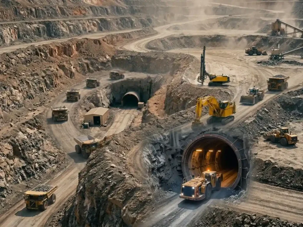
Autonomous mining deploys automated systems to control and coordinate heavy equipment with minimal human intervention. It integrates multi-sensor perception, high-performance inertial navigation, and adaptive motion-control algorithms to execute extraction, haulage, and drilling operations. Instead of depending solely on external positioning, these systems use closed-loop sensor fusion to maintain continuous spatial awareness across underground drifts and open-pit environments. They synthesize GNSS, inertial sensors, LiDAR, radar, cameras, and vehicle controllers to perceive surroundings and execute tasks.
Mining sites impose severe navigational constraints. Open-pit operations cause GNSS multipath, signal obstructions, and limited satellite visibility, while underground shafts block GNSS entirely. Dust, extreme vibration, steep terrain, and thermal variations further degrade sensors. Consequently, robust navigation algorithms fuse sensor data to sustain accurate positioning when individual components fail. Integrated GNSS/INS provides absolute positioning during satellite availability and maintains dead reckoning during outages.
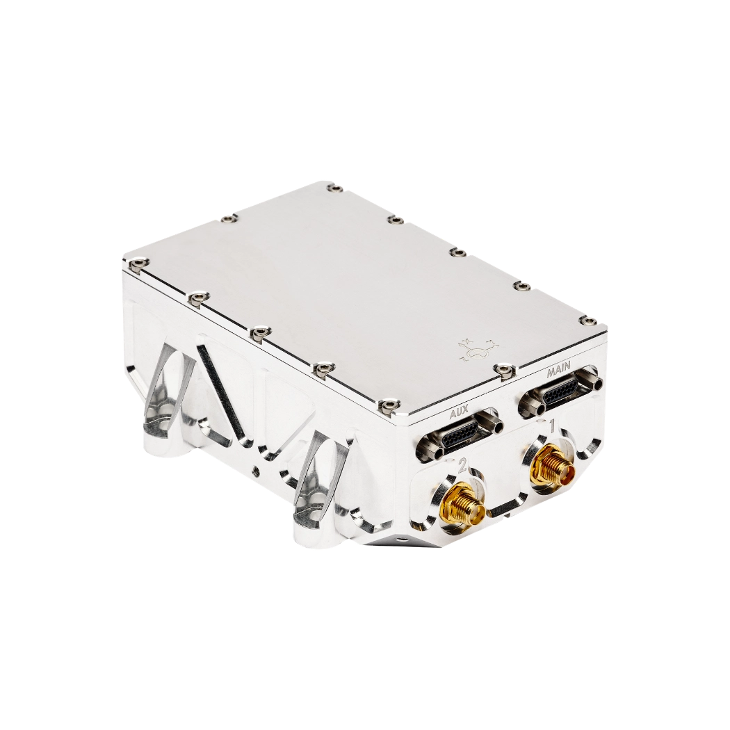
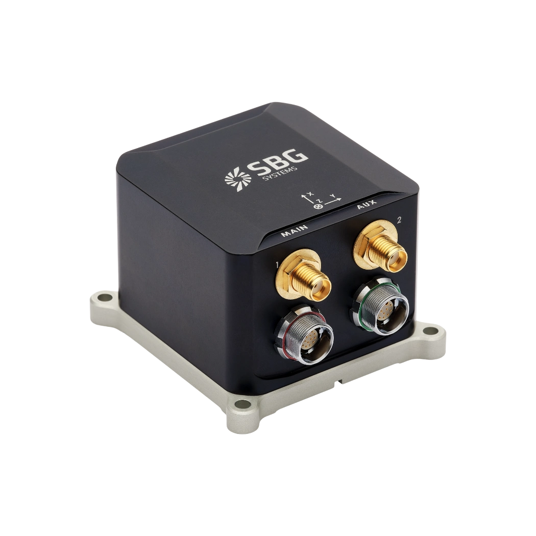
Within the inertial measurement unit (IMU), low-drift accelerometers and ultra-stable gyroscopes establish the bias stability required for accurate dead reckoning. Attitude and Heading Reference Systems (AHRS) compute real-time roll, pitch, and yaw. Filtering algorithms fuse inertial data with magnetometers or dual-antenna GNSS heading inputs, stabilizing heavy haulers and excavators over rough terrain. Tightly coupled systems unite IMU measurements, wheel speed, LiDAR odometry, and radar, using Extended Kalman Filters (EKF) to eliminate position drift in GNSS-denied subterranean zones or open-pit canyons.
Autonomous Haulage Systems (AHS) merge local point clouds with high-rate inertial orientation data to update path-planning vectors, avoid dynamic obstacles, and execute payload dumping within centimeter-level tolerances.
By embedding high-rate inertial sensors directly into primary control loops, autonomous mining eliminates operator error, reduces mechanical strain, optimizes fuel usage, and secures continuous operation in hostile environments.