Ensuring precision in challenging surface operations
Surface operations often take place in dynamic, unpredictable environments where traditional navigation systems may struggle. As the global shipping industry moves towards automation and increased operational efficiency, INS plays a critical role in ensuring safe navigation, particularly in GNSS-denied areas or high-traffic ports.
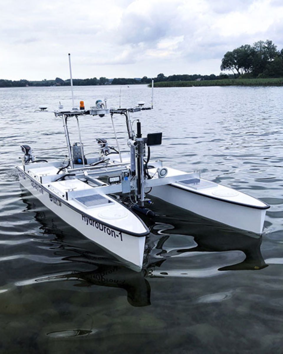
For autonomous vessels, the integration of INS ensures that ships can continue to navigate accurately when GNSS signals are unavailable or unreliable, enabling seamless and safe operations.
Research vessels often conduct operations in remote or challenging environments, such as polar regions or deep-sea explorations. In these locations, INS ensures that the vessel’s position is accurately tracked, enabling precise data collection and efficient navigation.
Exceptional reliability with constant data gathering
One of the primary advantages of INS is its ability to function independently of external signals. Unlike GNSS, which can be disrupted by jamming or signal loss, INS provides continuous navigation information. This is particularly valuable in high-risk areas where uninterrupted navigation is critical for the safety of the vessel and crew.
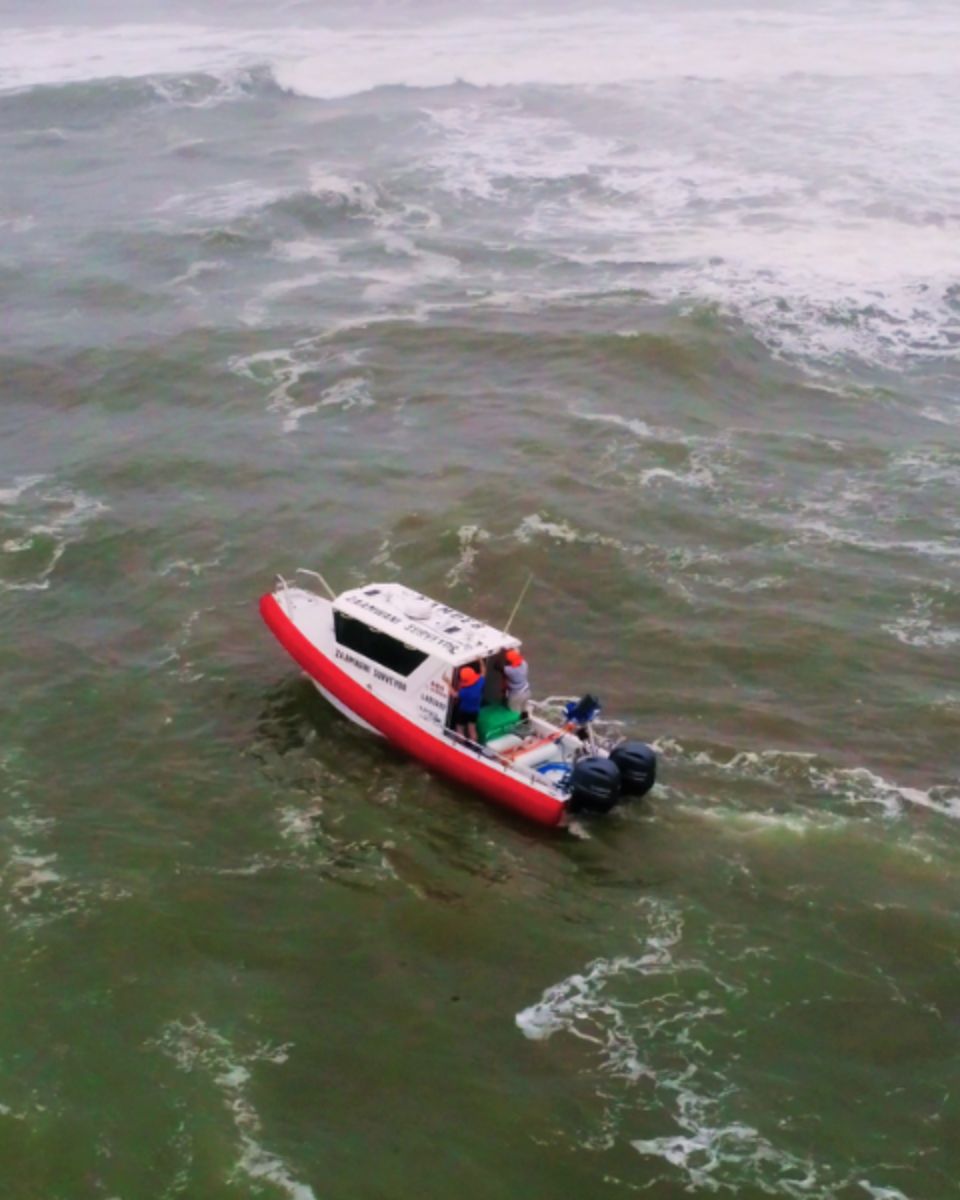
By providing real-time data on the vessel’s position, speed, and orientation, INS enhances safety during complex manoeuvres, such as docking, navigating narrow channels, or operating in high-traffic areas. This ensures that vessels such as commercial vessels can avoid collisions and other accidents, even in challenging conditions.

Complete integration with other systems
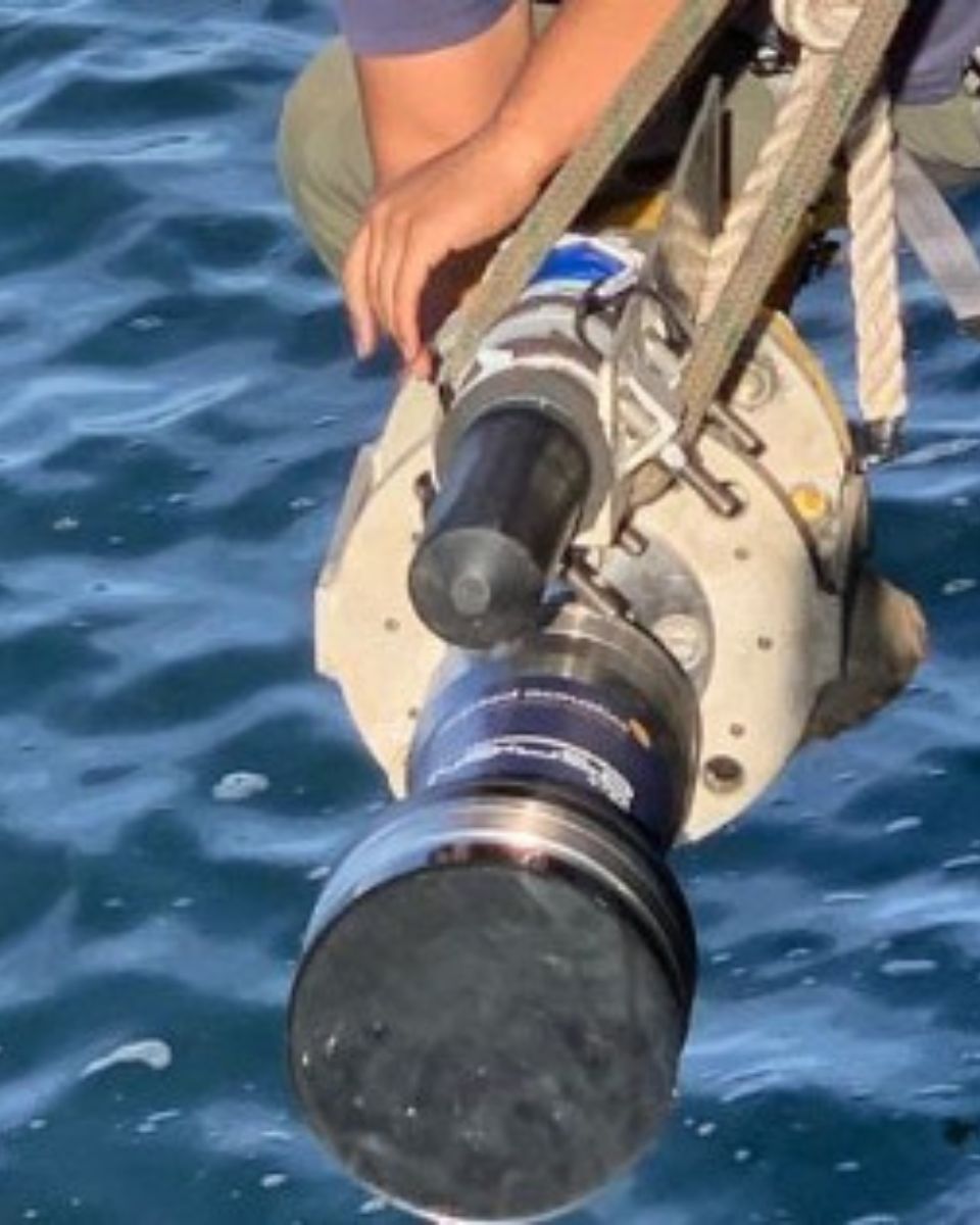
Our inertial solutions can be integrated with other navigation systems, such as GNSS, Doppler Velocity Logs (DVL), or Acoustic Positioning Systems (APS), to further enhance accuracy and resilience. This integration ensures that vessels have access to the most accurate and reliable navigation data, regardless of the environment.
Moreover, it can reduce the need for frequent recalibration or reliance on external navigation aids, resulting in cost savings for operators. In industries such as offshore energy or commercial shipping, the ability to operate autonomously and independently of GNSS reduces the risk of delays or costly errors.

Solutions for marine navigation systems
We developed the best Inertial Navigation Systems that are revolutionizing maritime operations by providing accurate, reliable navigation data in even the most challenging environments.
Whether in defense, commercial shipping, maritime transportation, scientific research, oceanography, aquaculture farming or offshore energy and offshore wind farm construction, you will navigate safely and efficiently.
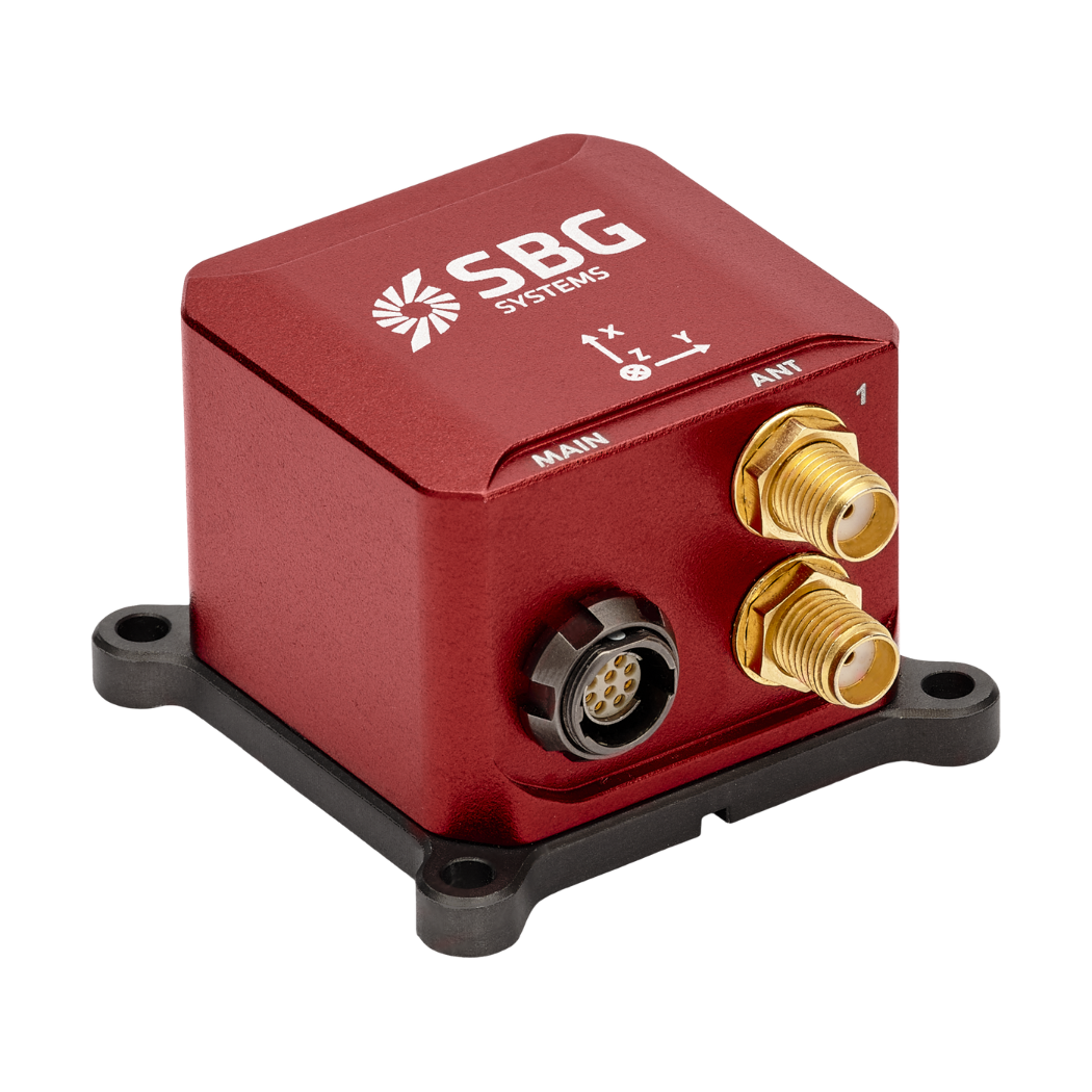
Ellipse-D
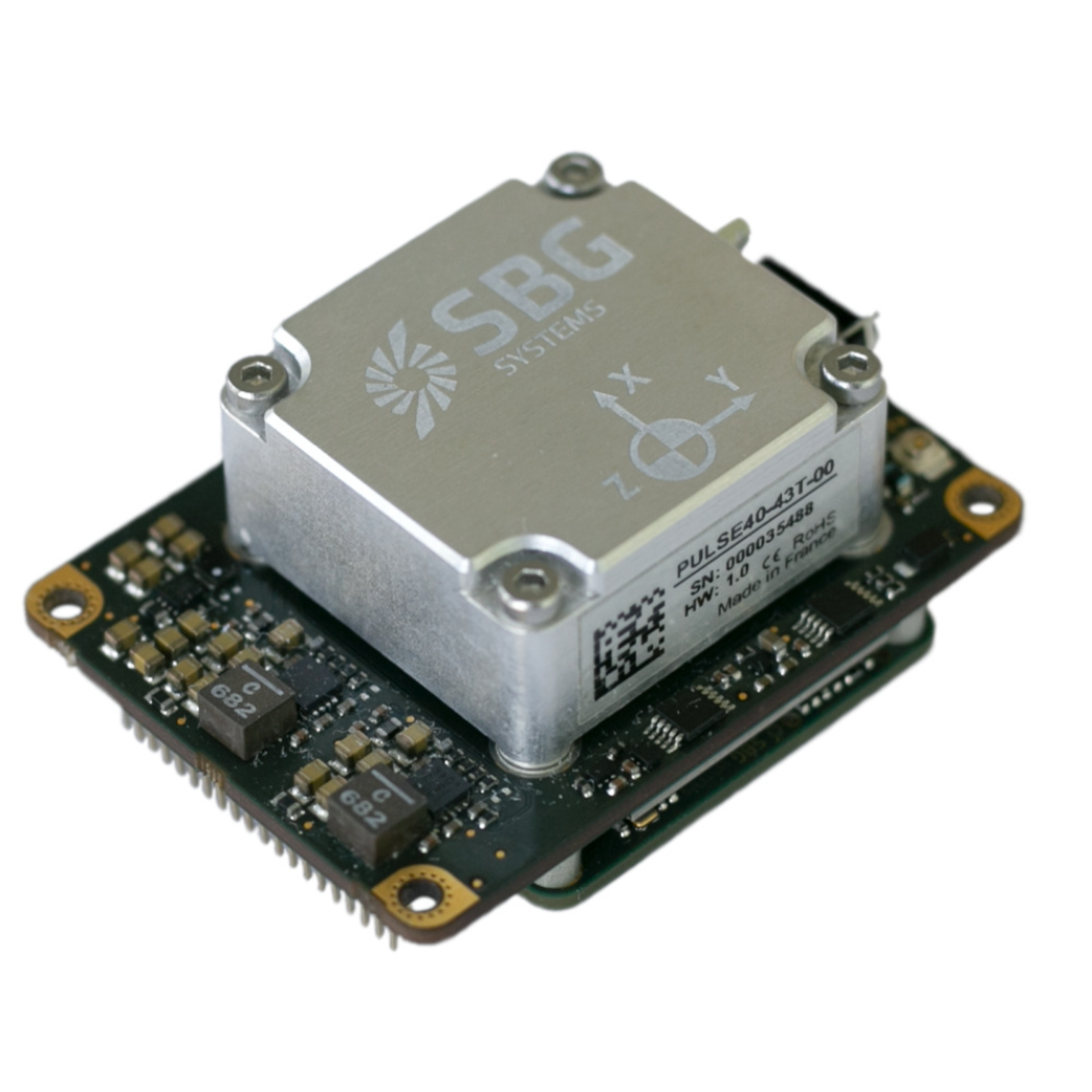
Quanta Micro
Ekinox Micro
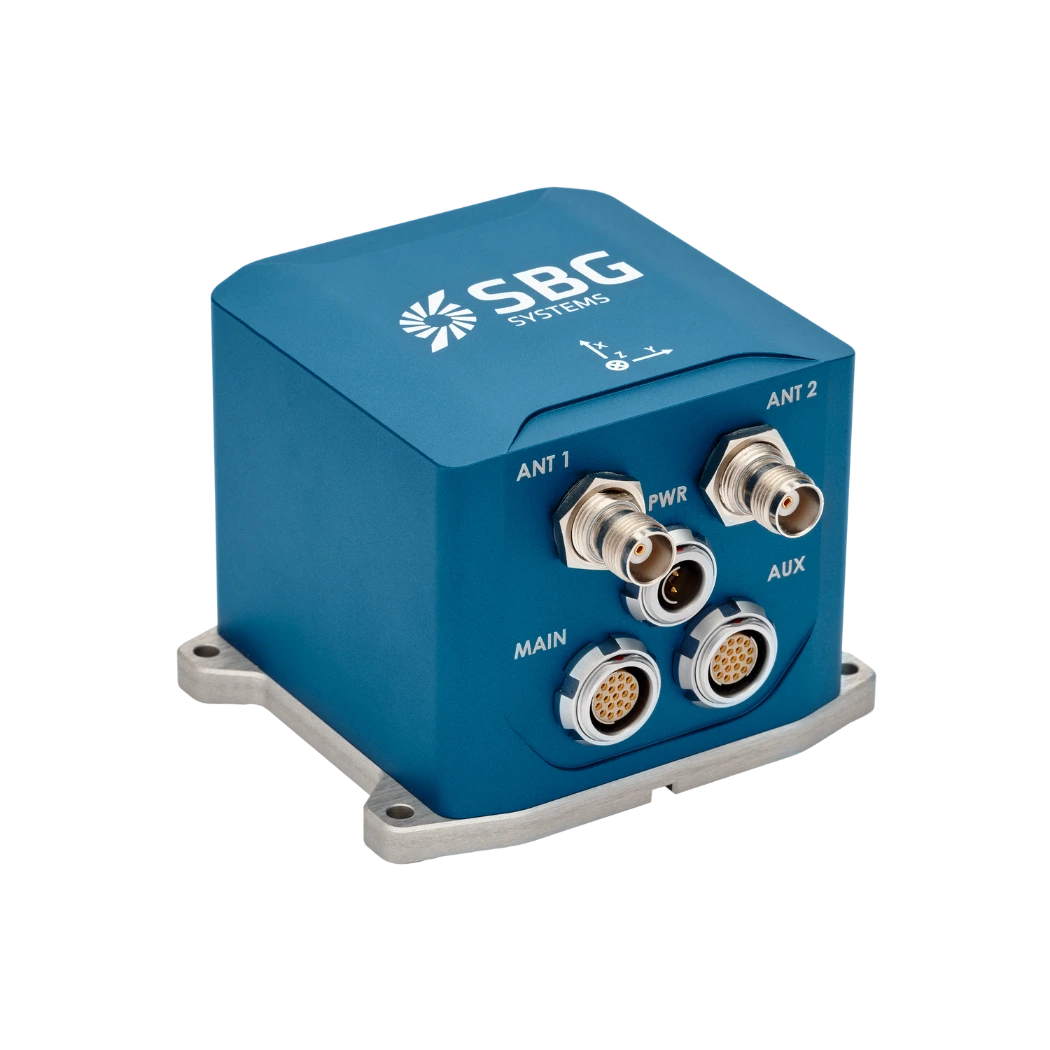
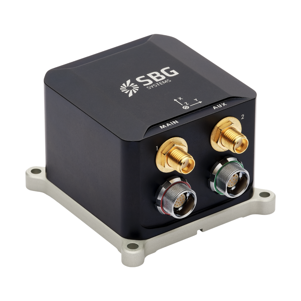
Ekinox-D
Navigation applications brochure
Get our brochure delivered straight to your inbox!
Case studies
Discover how SBG Systems’ cutting-edge navigation technology is shaping the future of marine navigation systems
They talk about us
Hear first hand, from the innovators and clients who have adopted our technology.
Their testimonials and success stories illustrate the significant impact our sensors have in practical UAV navigation applications.
Explore other inertial applications in maritime operations
Dive into the world of inertial applications in maritime operations. Our cutting-edge navigation and motion sensing technologies are designed to enhance accuracy, stability, and efficiency across a wide range of maritime tasks. From vessel positioning to dynamic motion compensation, explore how our solutions are transforming the way maritime operations are conducted.
Do you have questions?
Welcome to our FAQ section! Here, you’ll find answers to the most frequent questions about the applications we highlight. If you don’t find what you’re looking for, feel free to contact us directly!
What is GNSS vs GPS?
GNSS stands for Global Navigation Satellite System and GPS for Global Positioning System. These terms are often used interchangeably, but they refer to different concepts within satellite-based navigation systems.
GNSS is a collective term for all satellite navigation systems, while GPS refers specifically to the U.S. system. It includes multiple systems that provide more comprehensive global coverage, while GPS is just one of those systems.
You get improved accuracy and reliability with GNSS, by integrating data from multiple systems, whereas GPS alone might have limitations depending on satellite availability and environmental conditions.
What is blue economy?
Blue economy or ocean economy signifies the economic activities related to the oceans and seas. The World Bank defines the blue economy as the “sustainable use of ocean resources to benefit economies, livelihoods and ocean ecosystem health.”
The blue economy includes maritime shipping, fishing and aquaculture, coastal tourism, renewable energy, water desalination, undersea cabling, seabed extraction, deep-sea mining, marine genetic resources, and biotechnology.
What is an Offshore Support Vessel?
An Offshore Support Vessel, or OSV, support offshore oil and gas exploration, production and various maritime operations.
OSVs transport supplies, equipment, and personnel to and from offshore platforms, conduct maintenance, and assist with underwater operations. They are essential for maintaining the efficiency and safety of offshore projects.
What are jamming and spoofing?
Jamming and spoofing are two types of interference that can significantly affect the reliability and accuracy of satellite-based navigation systems like GNSS.
Jamming refers to the intentional disruption of satellite signals by broadcasting interfering signals on the same frequencies used by GNSS systems. This interference can overwhelm or drown out the legitimate satellite signals, rendering GNSS receivers unable to process the information accurately. Jamming is commonly used in military operations to disrupt the navigation capabilities of adversaries, and it can also affect civilian systems, leading to navigation failures and operational challenges.
Spoofing, on the other hand, involves the transmission of counterfeit signals that mimic genuine GNSS signals. These deceptive signals can mislead GNSS receivers into calculating incorrect positions or times. Spoofing can be used to misdirect or misinform navigation systems, potentially causing vehicles or aircraft to veer off course or providing false location data. Unlike jamming, which merely obstructs signal reception, spoofing actively deceives the receiver by presenting false information as legitimate.
Both jamming and spoofing pose significant threats to the integrity of GNSS-dependent systems, necessitating advanced countermeasures and resilient navigation technologies to ensure reliable operation in contested or challenging environments.