

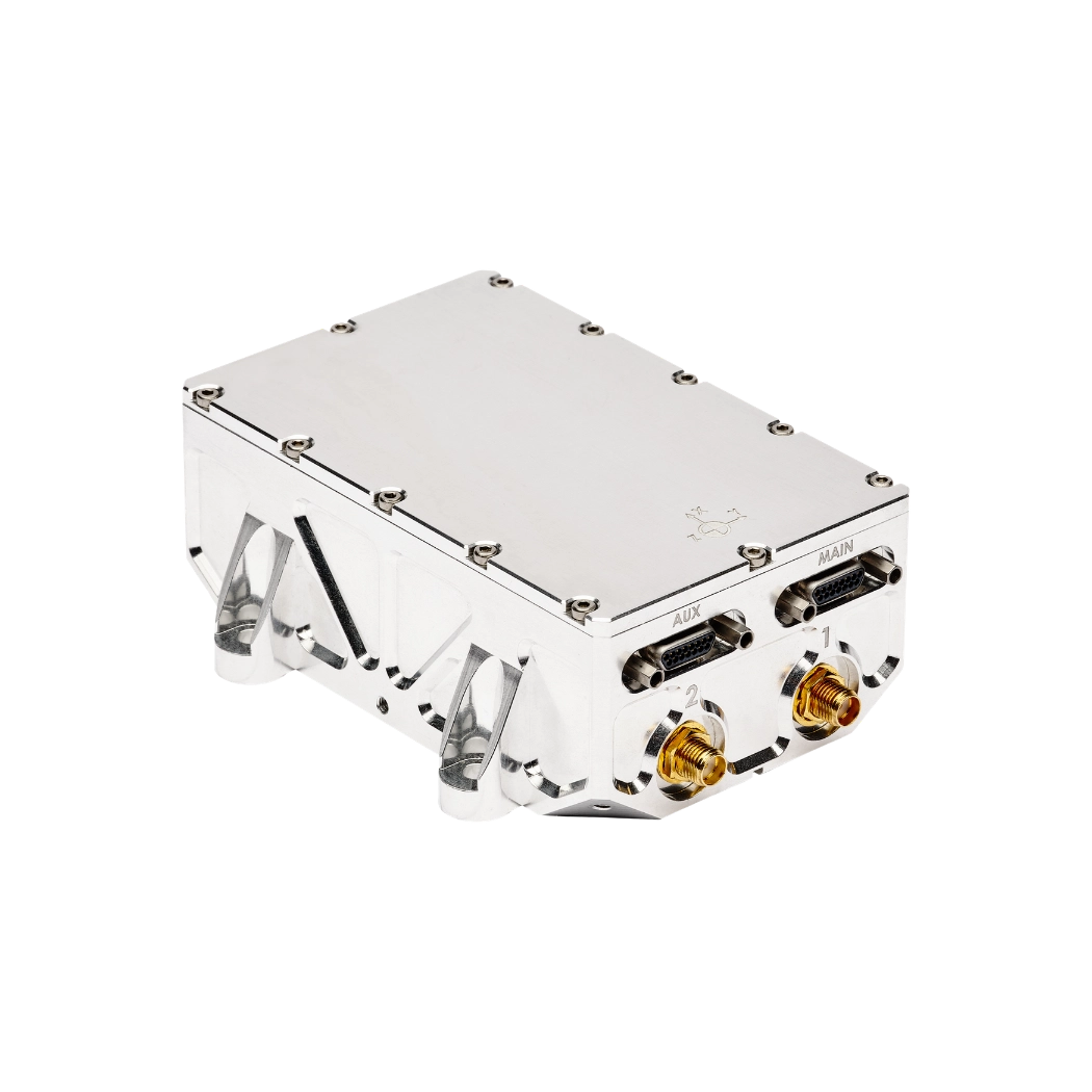
ISR Navigation
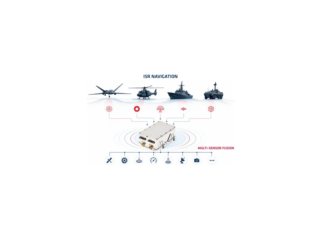
ISR Navigation refers to the navigation technologies and methods that enable Intelligence, Surveillance, and Reconnaissance (ISR) missions to determine accurate position, velocity, attitude, and heading throughout an operation. Unlike conventional navigation systems that rely primarily on GNSS, ISR Navigation combines inertial sensors, GNSS receivers, and sensor fusion algorithms to ensure continuous navigation in both permissive and contested environments.
Every ISR navigation solution relies on an INS with high-performance IMUs. The IMU measures linear acceleration and angular velocity using precision MEMS or FOGs. Each INS integrates these measurements through inertial mechanization. Advanced EKF continuously fuse inertial data with GNSS measurements. The EKF also combines data from odometers, DVLs, air data sensors, LiDAR, radar, cameras, and other mission sensors. This sensor fusion minimizes navigation drift and improves positioning accuracy during GNSS outages.
Modern ISR platforms include UAVs, tactical drones, ground vehicles, maritime vessels, aircraft, and portable reconnaissance systems. These platforms require highly reliable navigation because mission success depends on precise georeferencing of imagery, radar measurements, electronic intelligence, and other ISR sensing systems. Accurate navigation directly improves target localization, sensor pointing, and data correlation across multiple assets.
As electronic warfare capabilities continue to evolve, ISR systems must withstand jamming, spoofing, and degraded satellite reception. High-performance inertial navigation provides the resilience needed to maintain operational awareness during extended GNSS-denied operations. Features such as low drift, rapid alignment, gyrocompassing, and multi-constellation GNSS compatibility significantly increase mission availability.
Organizations increasingly select ISR deployment with ITAR-Free navigation solutions to simplify international procurement while maintaining high navigation performance. ITAR-free inertial navigation systems reduce export restrictions, accelerate deployment, and support multinational defense, security, border surveillance, and intelligence programs. Combined with robust sensor fusion, these systems deliver dependable navigation for demanding ISR missions worldwide.