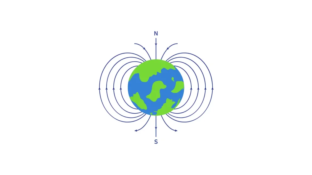
A magnetic field is a physical field that represents the magnetic influence on electric currents, moving charges, and magnetic materials.
The Earth behaves like a giant magnet and it generates its own magnetic field that goes from South to North pole. Poles are not exactly aligned with the geographic North-South axis.
Earth Magnetic Field and Declinations
An angle offset exists between magnetic heading and geographic heading. We call this difference declination. There are also local differences in both magnitude and direction, as the magnetic field is not perfectly uniform around the globe. Note that local declinations may range from a few tenths of degrees to more than 20°.
Moreover, those errors may vary over time.
World Magnetic Model
The American NOAA agency updates every 5 years a global map of the Earth magnetic field.
This map can be used, given a specific location and date, to know what is the declination in that specific place.
SBG Systems embeds this map into their Inertial navigation systems, enabling automatic True North heading while using magnetometers.
Magnetic Compass Accuracy
The magnetic field vertical component becomes stronger than the horizontal components when getting close to the poles. When operating a magnetic compass at very high latitudes, it might be impossible to detect a heading angle due to the low signal/noise ratio.
Typically, a magnetic compass will be able to operate at latitudes lower than 70°.
Compass used with Gyroscopes
By using gyroscopes in combination with a compass, it is possible to combine the advantages of both systems: the gyroscopes are good in the short-term, but will drift over the long-term, while the magnetometers can be subject to local disturbances, but are reliable over the long-term (if calibrated and in a proper environment).
Our Inertial systems are able to estimate in real time whether the magnetic field is reliable or not. The use of gyroscopes during periods of unreliable magnetic field allows the system to maintain a highly accurate heading solution in most situations.
