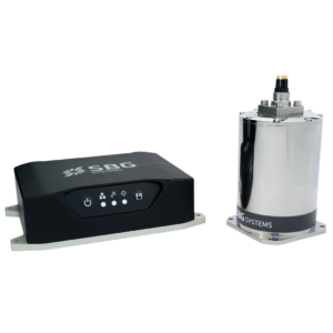
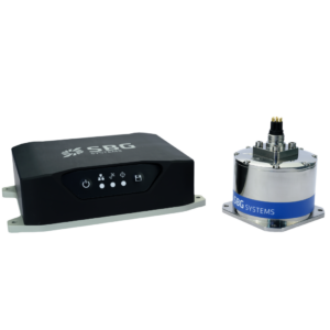
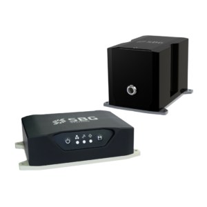
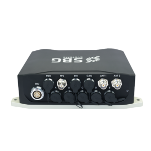
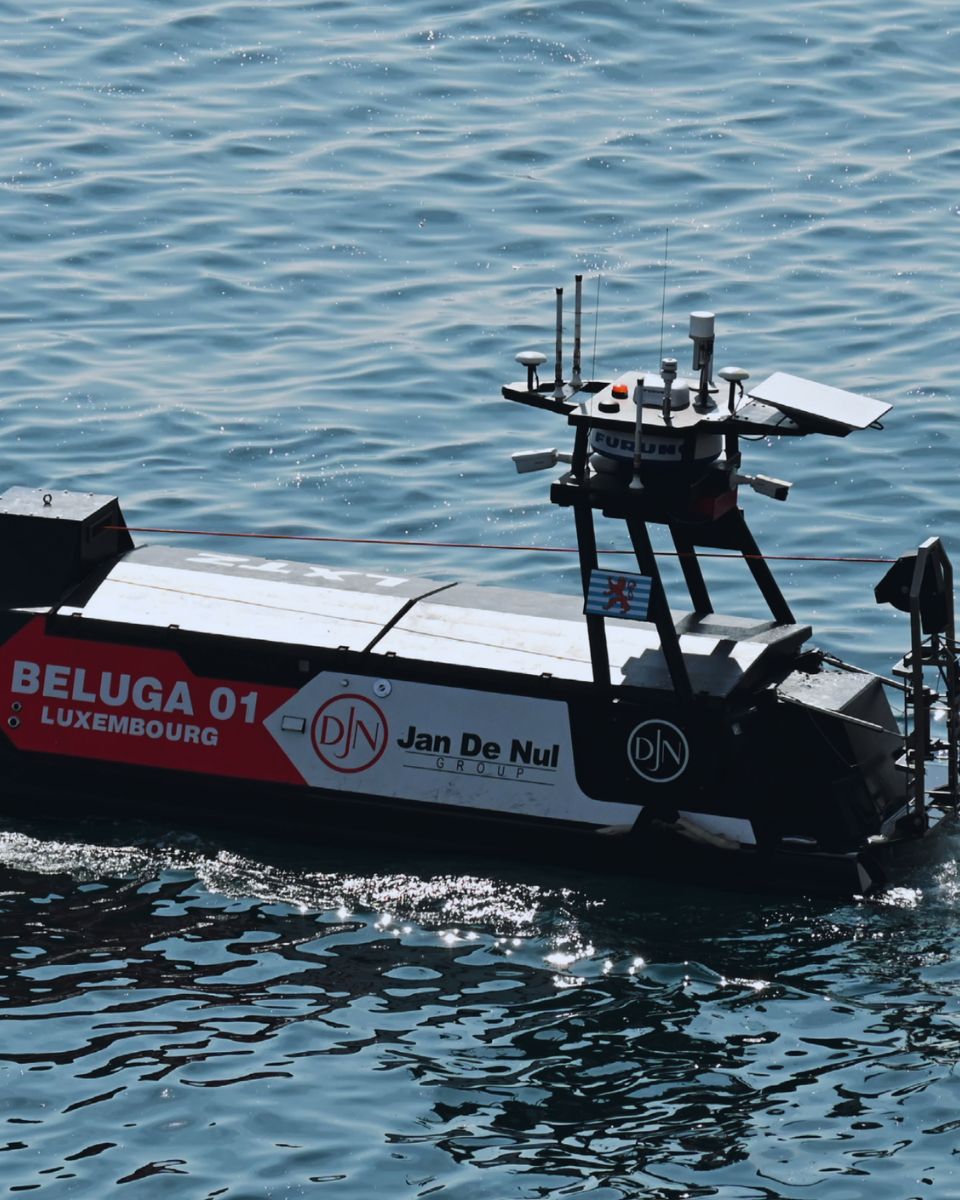
Navsight Marine Navigation solution for hydrographic applications
Navsight Marine integrates the latest IMU and GNSS technologies to offer a complete, powerful, and user-friendly motion and navigation solution for Hydrographers.
Easy to set up, and highly versatile, Navsight Marine makes hydrographers’ surveying tasks easier on both shallow and deep waters.
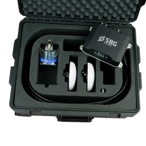
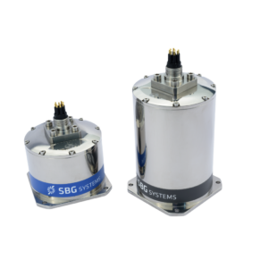
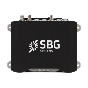
Navsight is a modular solution made of different components: a processing unit, a choice of deported sensors, cables and antennas, to meet your specific needs.
The IMU is the main sensing element and the most important performance driving factor. If GNSS conditions are favorable and you’re working in shallow water, choose the Ekinox grade IMU. For tough conditions like poor GNSS environments or extreme depths, choose the Apogee or Horizon grade sensors to ensure maximum accuracy.
Discover all Navsight Marine features and applications.
Applications
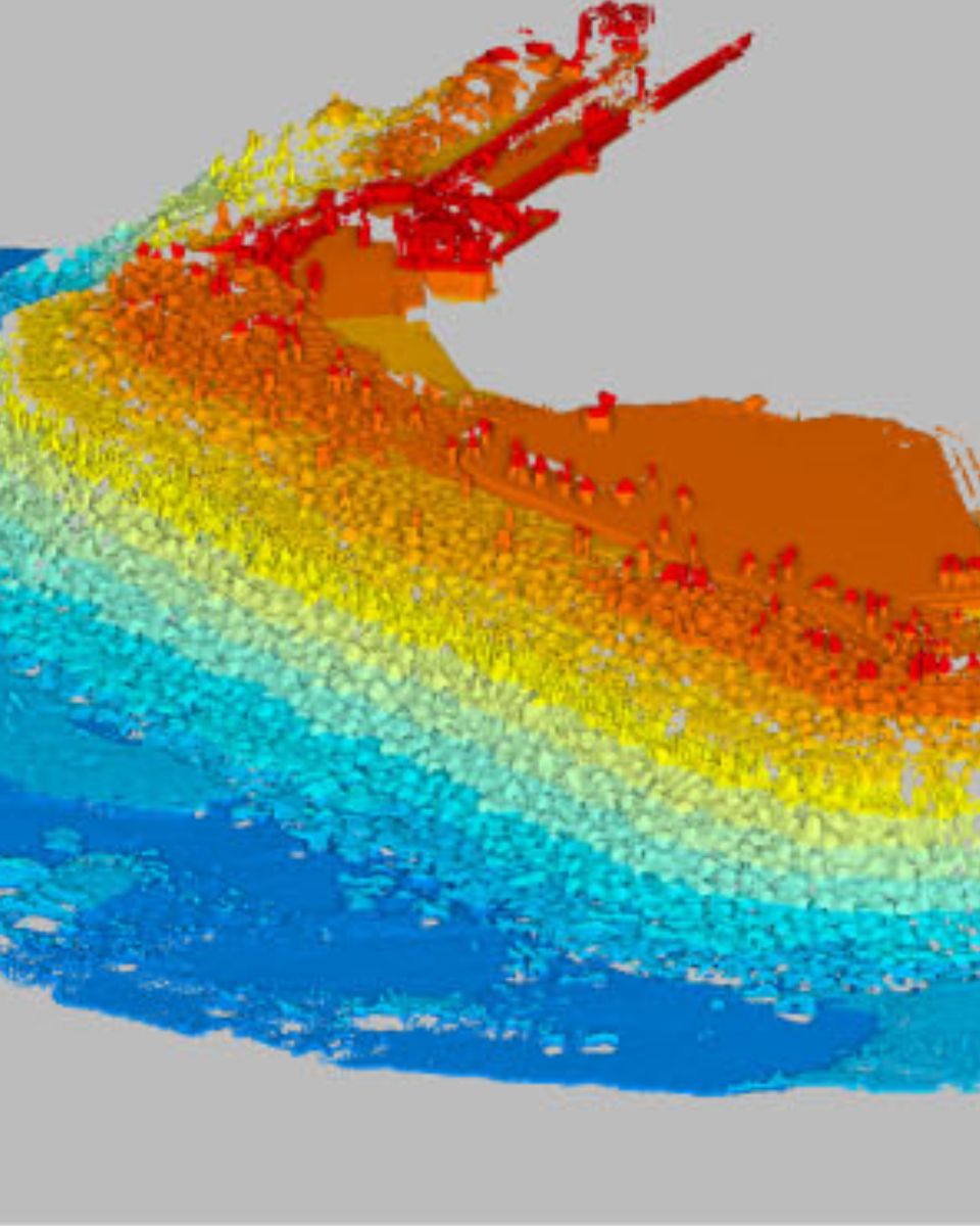
Hydrographic applications demand exceptional precision and adaptability due to the challenging environments encountered during marine and subsea data collection. Factors like wave motion, tides, currents, and varying depths create unique obstacles for accurate seabed mapping, bathymetric surveys, and waterway analysis.
Navsight Marine Solution is tailored for such demanding environments. Designed to integrate seamlessly with multibeam echosounders and other survey equipment and software, Navsight combines advanced inertial navigation technology with GNSS positioning to deliver precise, real-time data (RTK).
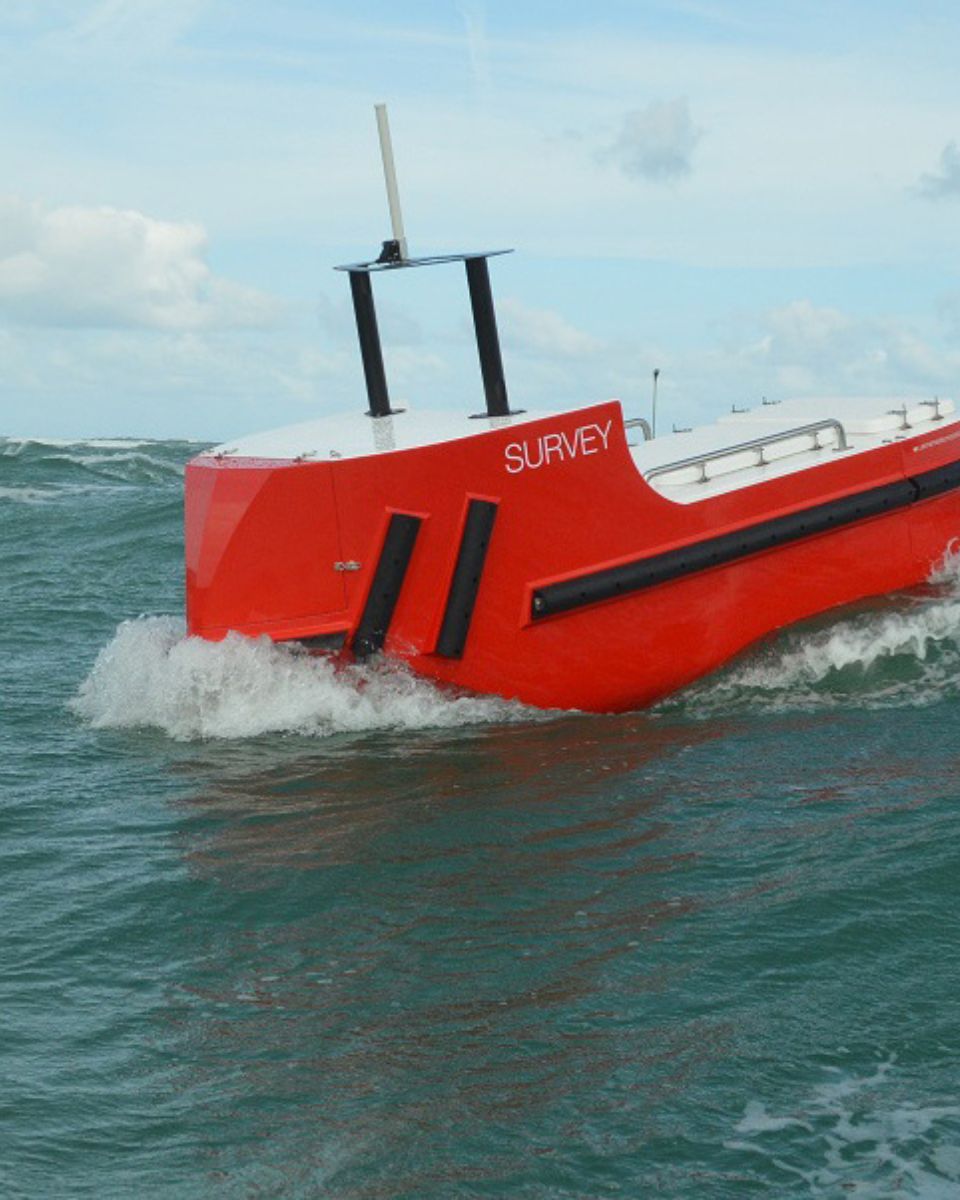
Navsight’s robust design and handy form factor make it easy to install on various vessel types, from small survey boats to large research vessels.
Explore all Navsight Marine applications.
Our differents versions
Compare our most advanced inertial range of sensors for navigation, motion, and heave sensing.
Full specifications can be found in the product’s Leaflet available upon request.
| RTK horizontal position | RTK horizontal position 0.01 m + 0.5 ppm | RTK horizontal position 0.01 m + 0.5 ppm | RTK horizontal position 0.01 m + 0.5 ppm |
|---|---|---|---|
| RTK roll/pitch | RTK roll/pitch 0.015 ° | RTK roll/pitch 0.008 ° | RTK roll/pitch 0.007 ° |
| RTK heading | RTK heading 0.02 ° | RTK heading 0.01 ° | RTK heading 0.01 ° |
| GNSS receiver | GNSS receiver Internal Geodetic dual antenna | GNSS receiver Internal Geodetic dual antenna | GNSS receiver Internal Geodetic dual antenna |
| Weight (g) | Weight (g) 1 940 g | Weight (g) 1 940 g | Weight (g) 1 940 g |
| Dimensions (LxWxH) | Dimensions (LxWxH) 227 x 156 x 63 mm | Dimensions (LxWxH) 227 x 156 x 63 mm | Dimensions (LxWxH) 233 x 156 x 63 mm |
Compatibility

Navsight Marine documentation & resources
Navsight Marine comes with comprehensive documentation, designed to support users at every step.
From installation guides to advanced configuration and troubleshooting, our clear and detailed online documentation ensure smooth integration and operation.
Navsight Marine production process
Discover the precision and expertise behind every SBG Systems products. This following video offers an inside look at how we meticulously design, manufacture, calibrate and test our high-performance inertial navigation systems.
From advanced engineering to rigorous quality control, our production process ensures that each product meets the highest standards of reliability and accuracy.
Whether you’re curious about the technology or interested in seeing how we bring innovative solutions to life, this video highlights our commitment to excellence in every step of the production process.

Ask for a quotation
Do you have questions?
Welcome to our FAQ section, where we address your most pressing questions about our cutting-edge technology and its applications. Here, you’ll find comprehensive answers regarding product features, installation processes, and best practices to maximize your experience with Navsight Marine.
Find Your Answers Here !
What are wave measurement sensors?
Wave measurement sensors are essential tools for understanding ocean dynamics and improving safety and efficiency in marine operations. By providing accurate and timely data on wave conditions, they help inform decisions across various sectors, from shipping and navigation to environmental conservation. Wave buoys are floating devices equipped with sensors to measure wave parameters such as height, period, and direction.
They typically use accelerometers or gyroscopes to detect wave motion and can transmit real-time data to shore-based facilities for analysis.
What is Multibeam Echo Sounding?
Multibeam Echo Sounding (MBES) is an advanced hydrographic surveying technique used to map the seafloor and underwater features with high precision.
Unlike traditional single-beam echo sounders that measure depth at a single point directly beneath the vessel, MBES utilizes an array of sonar beams to simultaneously capture depth measurements across a wide swath of the seafloor. This allows for detailed, high-resolution mapping of underwater terrain, including topography, geological features, and potential hazards.
MBES systems emit sound waves that travel through the water, bouncing off the seafloor and returning to the vessel. By analyzing the time it takes for the echoes to return, the system calculates the depth at multiple points, creating a comprehensive map of the underwater landscape.
This technology is essential for various applications, including navigation, marine construction, environmental monitoring, and resource exploration, providing critical data for safe maritime operations and sustainable management of marine resources.
What is bathymetry?
Bathymetry is the study and measurement of the depth and shape of underwater terrain, primarily focused on mapping the seafloor and other submerged landscapes. It is the underwater equivalent of topography, providing detailed insights into the underwater features of oceans, seas, lakes, and rivers. Bathymetry plays a crucial role in various applications, including navigation, marine construction, resource exploration, and environmental studies.
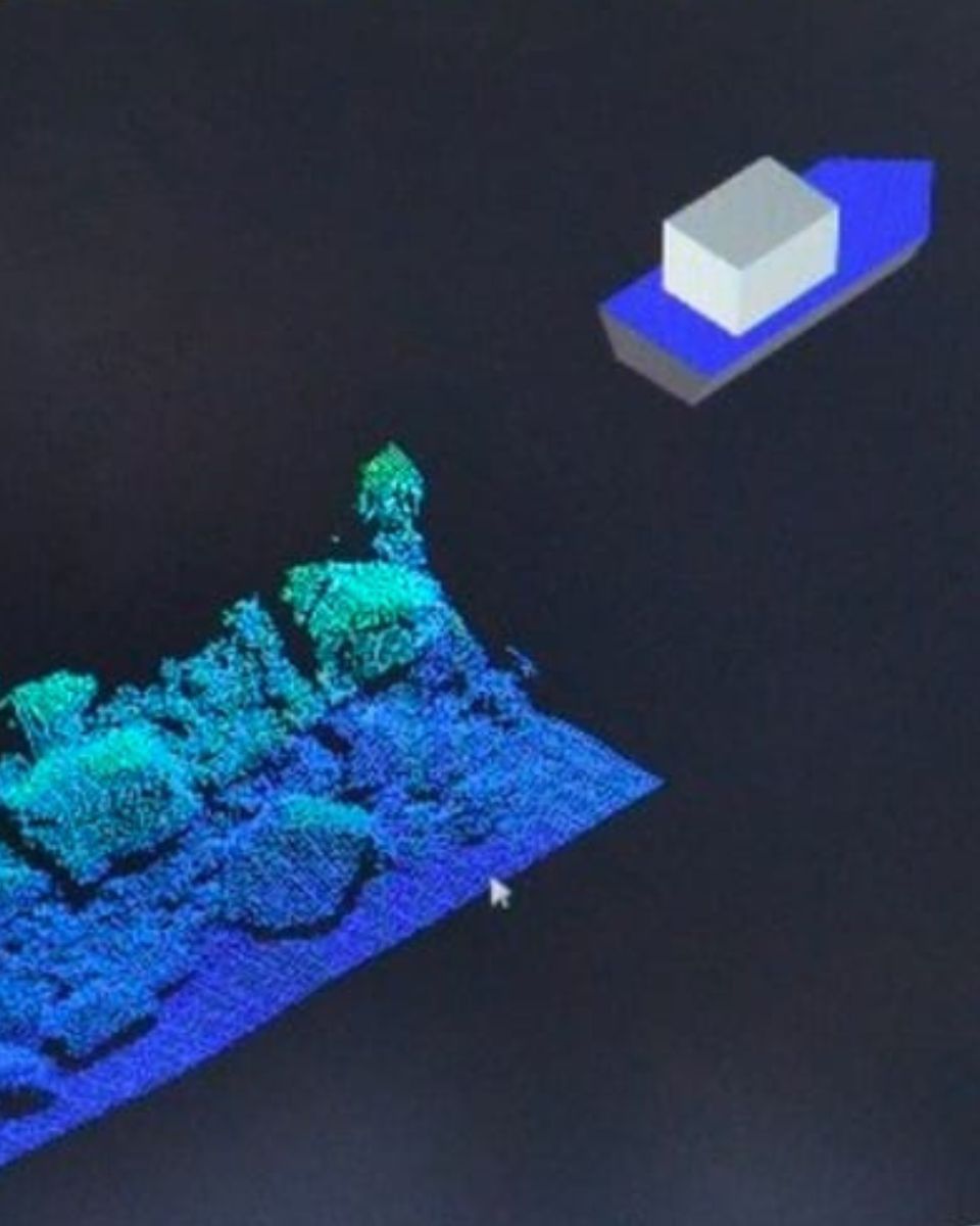
Modern bathymetric techniques rely on sonar systems, such as single-beam and multibeam echo sounders, which use sound waves to measure water depth. These devices send sound pulses toward the seafloor and record the time it takes for the echoes to return, calculating depth based on the speed of sound in water. Multibeam echo sounders, in particular, allow for wide swaths of the seafloor to be mapped at once, providing highly detailed and accurate seafloor representations. Frequently, a RTK + INS solution is associated to create accurately positioned 3D bathymetric representations of the seafloor.
Bathymetric data is essential for creating nautical charts, which help guide vessels safely by identifying potential underwater hazards like submerged rocks, wrecks, and sandbanks. It also plays a vital role in scientific research, helping researchers understand underwater geological features, ocean currents, and marine ecosystems.
What is hydrographic surveying?
Hydrographic surveying is the process of measuring and mapping physical features of bodies of water, including oceans, rivers, lakes, and coastal areas. It involves collecting data related to the depth, shape, and contours of the seafloor (seafloor mapping), as well as the location of submerged objects, navigational hazards, and other underwater features (e.g. water trenches). Hydrographic surveying is crucial for various applications, including navigation safety, coastal management and coastal survey, construction, and environmental monitoring.
Hydrographic surveying involves several key components, starting with bathymetry, which measures water depth and seafloor topography using sonar systems like single-beam or multi-beam echo sounders that send sound pulses to the seafloor and measure the echo’s return time.
Accurate positioning is critical, achieved using Global Navigation Satellite Systems (GNSS) and Inertial Navigation Systems (INS) to link depth measurements to precise geographic coordinates. Additionally, water column data, such as temperature, salinity, and currents, are measured, and geophysical data is collected to detect underwater objects, obstacles, or hazards using tools like side-scan sonar and magnetometers.
