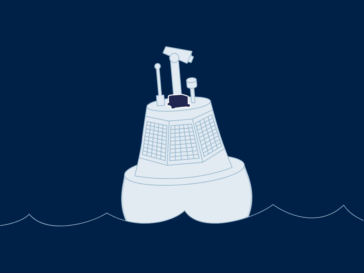
Usage of inertial systems in instrumented buoy applications
In applications such as monitoring sea states or measuring oceanographic parameters like water temperature and salinity, the INS ensures that the data collected is correctly correlated with the buoy’s movement. As a result, researchers and marine operators can distinguish between the buoy’s motion and the natural motion of the ocean, resulting in higher accuracy and reliability of data.
For instance, when measuring wave heights, inertial systems ensure that marine buoy motion due to waves is properly accounted for, leading to better assessments of ocean conditions. Moreover, instrumented buoys equipped with inertial systems are invaluable for environmental monitoring and climate research.
Specifically, INS technology ensures that the data collected over long periods remains consistent, regardless of the buoy’s drifting and movement. In addition, inertial sensors help mitigate the effects of ocean currents and wind, ensuring that the buoy remains stable and that the sensors continue to collect accurate data. This is particularly important in climate studies, where long-term data accuracy is crucial for understanding changes in sea levels, ocean temperatures, and other environmental factors.
Buoy real-time data transmission and analysis
One of the key advantages of modern instrumented buoys is their ability to transmit real-time data to research stations, vessels, or command centers. This is made possible through satellite or radio communication systems integrated into the marine buoys. With the addition of inertial systems, the motion and navigation data of the buoy can also be transmitted alongside environmental and oceanographic data.
This real-time capability allows for immediate analysis, facilitating timely responses to environmental changes, such as detecting tsunamis (with a tsunami buoy system), tracking marine pollution, or monitoring weather conditions.
Real-time data transmission gives researchers, oceanographers and agencies immediate access to critical information. This improves decision-making and operational planning. INS integration ensures highly accurate data. It enables better predictions and assessments of marine and environmental phenomena.
Reduced buoy maintenance and long-term stability
Our inertial systems deliver durability and require little maintenance, essential for long buoy deployments in marine operations. Their long-term stability ensures continuous high-quality data. Buoys operate without frequent calibration, reducing maintenance costs and downtime.
Easily integrate our solutions to achieve real-time motion compensation. This increases the accuracy of buoy sensor data. Our inertial technology corrects buoy movements instantly. It keeps data consistent and protected from waves or wind.
Explore our solutions for instrumented buoy
We deliver advanced motion and navigation solutions for seamless buoy integration. Our inertial sensors track buoy motion with high precision. They ensure collected buoy data remains accurate and reliable.
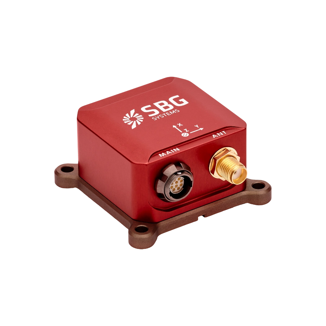
Ellipse-N

Ellipse-D
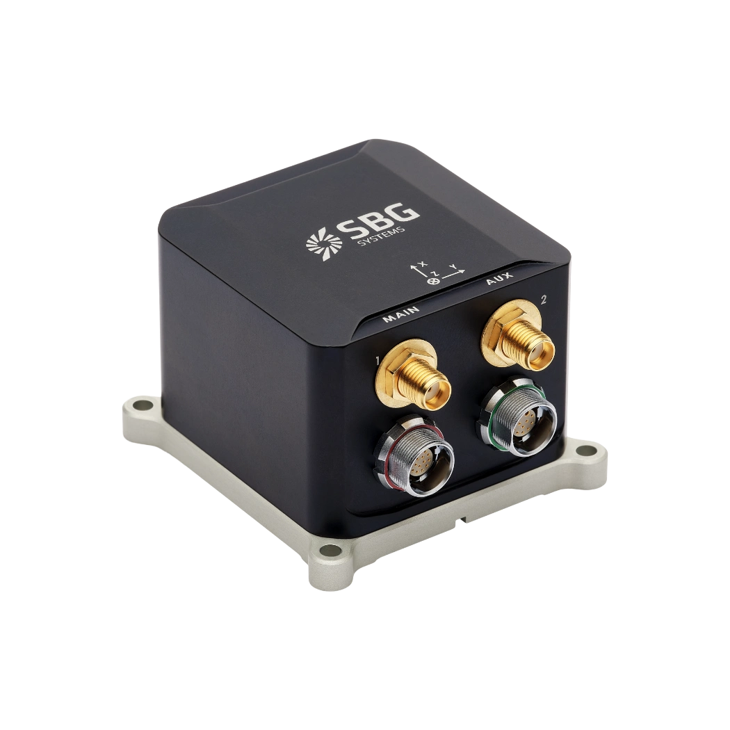
Ekinox Micro
Geospatial applications brochure
Get our brochure delivered straight to your inbox!
Case studies
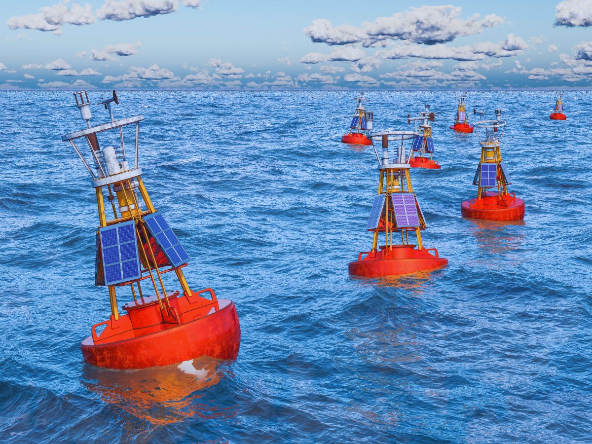
Our inertial systems power instrumented buoy projects worldwide. They support Arctic oceanographic research and Pacific environmental monitoring. Our solutions deliver proven reliability and accuracy in the harshest conditions.


They talk about us
Leading research institutions, marine agencies, and environmental organizations worldwide trust our motion and navigation solutions.
We are proud to support oceanographers, climatologists, and maritime professionals in their pursuit of knowledge and environmental protection.
Explore other sea and subsea applications
Discover how our cutting-edge inertial navigation solutions power sea and subsea operations. They support underwater robotics, USVs, offshore energy, dredging, and scientific exploration.
Instrumented buoy applications FAQ
In this section, we address frequent questions and concerns regarding instrumented buoys and their applications.
What is a buoy used for?
A buoy is a floating device primarily used in maritime and water-based environments for several key purposes. Buoys are often placed in specific locations to mark safe passages, channels, or hazardous areas in bodies of water. They guide ships and vessels, helping them avoid dangerous spots like rocks, shallow waters, or wrecks.
They are used as anchoring points for vessels. Mooring buoys allow boats to tie up without having to drop anchor, which can be especially useful in areas where anchoring is impractical or damaging to the environment.
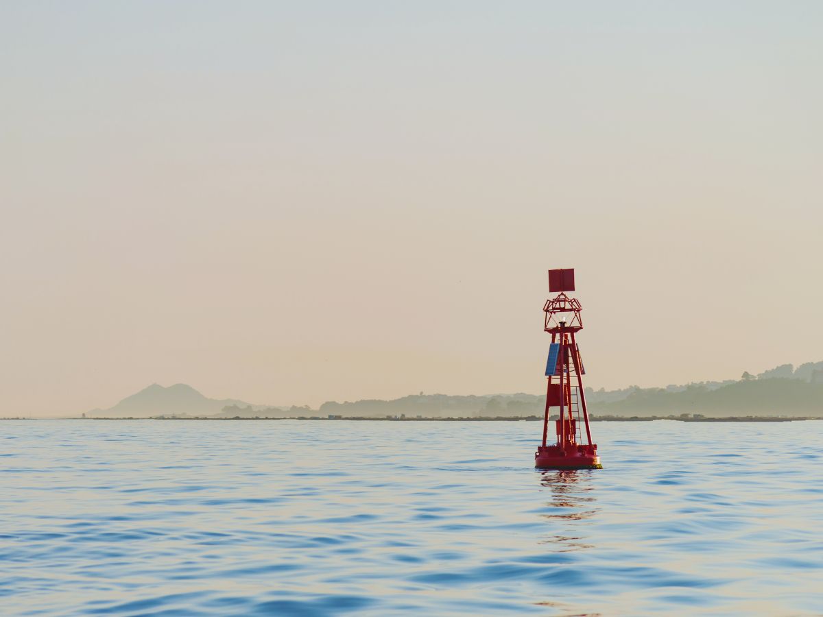
Instrumented buoys are equipped with sensors to measure environmental conditions like temperature, wave height, wind speed, and atmospheric pressure. These buoys provide valuable data for weather forecasting, climate research, and oceanographic studies.
Some buoys act as platforms for collecting and transmitting real-time data from the water or seabed, often used in scientific research, environmental monitoring, and military applications.
In commercial fishing, buoys mark the location of traps or nets. They also help in aquaculture, marking the locations of underwater farms.
Buoys can also mark designated areas such as no-anchoring zones, no-fishing zones, or swimming areas, helping enforce regulations on the water.
In all cases, buoys are critical for ensuring safety, facilitating marine activities, and supporting scientific research.
What is buoyancy?
Buoyancy is the force exerted by a fluid (such as water or air) that opposes the weight of an object submerged in it. It allows objects to float or rise to the surface if their density is less than that of the fluid. Buoyancy occurs because of the difference in pressure exerted on the object’s submerged portions—greater pressure is applied at lower depths, creating an upward force.
The principle of buoyancy is described by Archimedes’ principle, which states that the upward buoyant force on an object is equal to the weight of the fluid displaced by the object. If the buoyant force is greater than the object’s weight, it will float; if it is less, the object will sink. Buoyancy is essential in many fields, from marine engineering (designing ships and submarines) to the functionality of floating devices like buoys.
What are wave measurement sensors?
Wave measurement sensors are essential tools for understanding ocean dynamics and improving safety and efficiency in marine operations. By providing accurate and timely data on wave conditions, they help inform decisions across various sectors, from shipping and navigation to environmental conservation. Wave buoys are floating devices equipped with sensors to measure wave parameters such as height, period, and direction.
They typically use accelerometers or gyroscopes to detect wave motion (e.g. wave period) and can transmit real-time data to shore-based facilities for analysis.
