Ensuring safe navigation & maritime operations
One of the most critical applications of hydrography is ensuring safe navigation for vessels, ranging from large cargo ships to small fishing boats. Accurate marine charts derived from hydrographic surveys provide crucial information about underwater hazards such as reefs, sandbanks, and wrecks. These nautical charts guide ships through treacherous waters, preventing groundings, collisions, and other accidents that could lead to financial losses or environmental disasters.
Hydrography supports specialized maritime operations in addition to standard navigation, such as dredging, port construction, and the installation of underwater pipelines and cables. For these projects, detailed knowledge of the seabed and water column is essential to ensure proper placement and minimize environmental impact.
Hydrography is also integral to search and rescue missions. In emergencies, up-to-date hydrographic data allows rescue teams to navigate challenging conditions, increasing the likelihood of successful recoveries and minimizing response times.
Resource exploration & environmental monitoring
Beyond navigation, hydrography is essential for resource exploration by locating and managing underwater resources efficiently and safely. Hydrographic surveys ensure that exploration and extraction activities for oil, gas and minerals or renewable energy projects are conducted in the most suitable locations, thereby maximizing returns while minimizing and environmental impact.
Accurate seafloor and subsurface mapping identifies the location of natural resources and renewable energy sites for development. Hydrographic data is also essential for installing underwater pipelines, cables, and marine infrastructure.
For environmental monitoring, hydrographic data play a vital role in protecting marine ecosystems, managing coastal areas and tracking environmental changes such as erosion, pollution and sea-level rise. The data collected through hydrographic surveys is fundamental for sustainable development and protecting oceans and coastal areas.
Advanced hydographic technologies
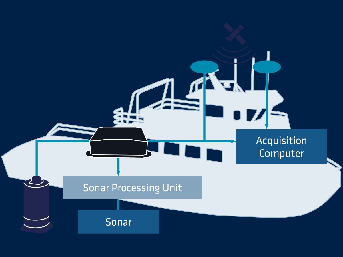
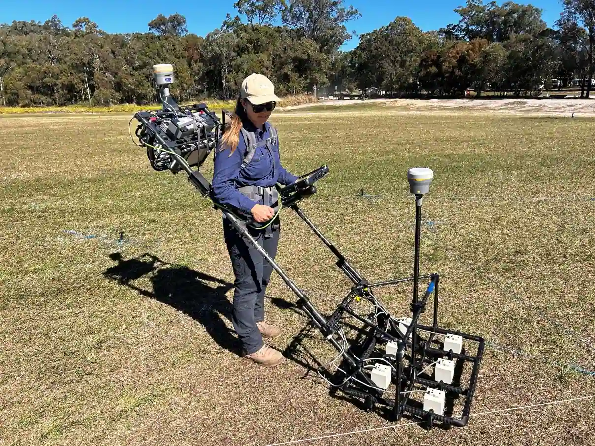
The continuous evolution of hydrographic technology has dramatically improved the speed, accuracy, and scope of data collection. Echo sounders are among the most widely used tools in hydrography. They enable precise measurements of water depth.
Hydrographic surveys rely heavily on accurate positioning and attitude data. Our sensors, such as Inertial Measurement Units (IMUs) and Inertial Navigation Systems (INS), provide real-time information on the vessel’s or platform’s orientation, including pitch, roll, and heading.
Combined with Global Navigation Satellite Systems (GNSS) data, these sensors ensure that surveyors have precise, reliable positioning, even in GNSS-challenged environments, such as near coastal cliffs or in dense urban areas.
During hydrographic surveys, vessel motion caused by waves, wind, and water currents can introduce errors in data collection. Motion sensors compensate for vessel movements like heave, pitch, and roll, ensuring accurate seabed mapping. This is especially important for sonar-based systems, where even minor movements can skew the data.
Our solutions for hydrography
Our solutions integrate seamlessly with multibeam echo sounders (MBES), and other platforms to deliver reliable performance in even the most challenging marine conditions. Whether for coastal mapping, subsea infrastructure development, or environmental monitoring, our products are fully compatible and ensure the highest level of accuracy and efficiency.
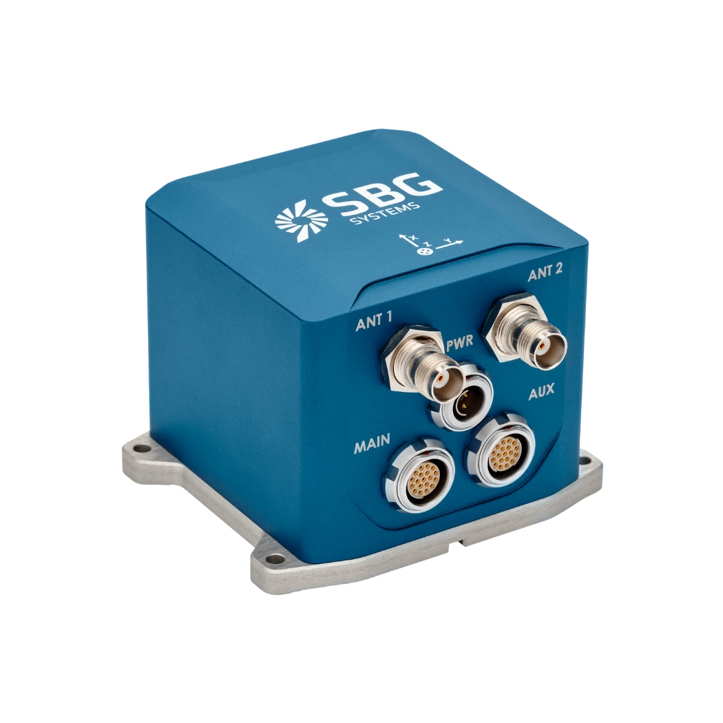
Ekinox-D
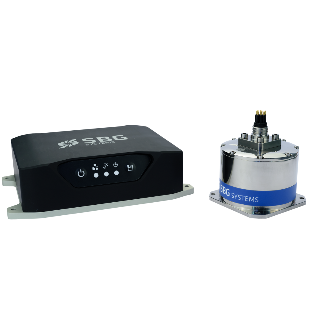
Navsight Marine
Qinertia GNSS-INS
Hydrographic applications brochure
Get our brochure delivered straight to your inbox!
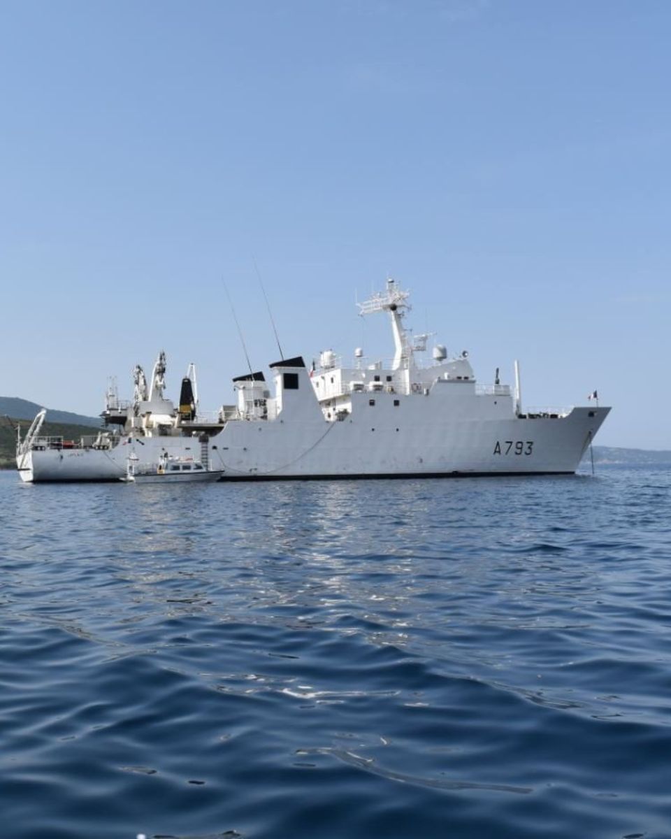
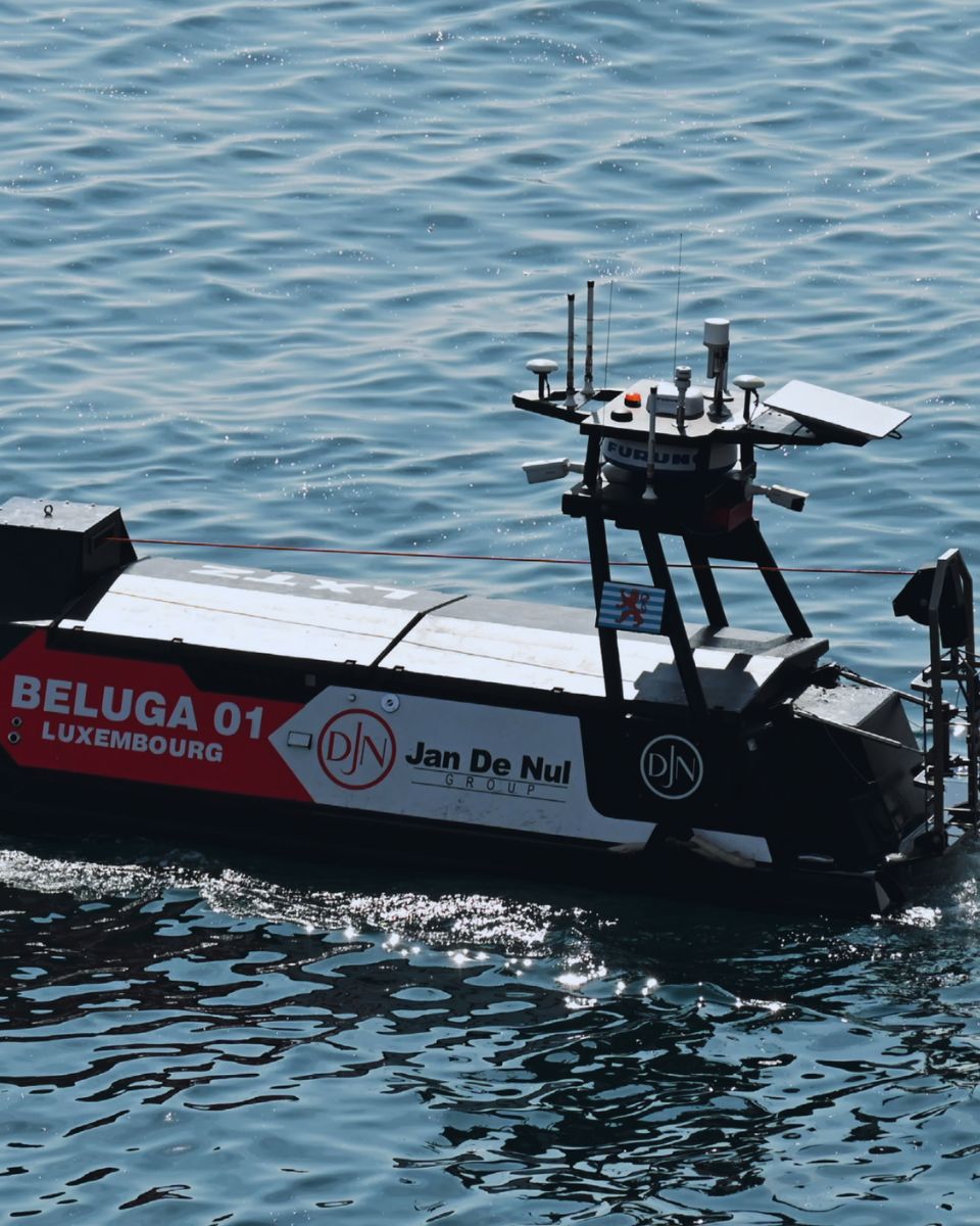
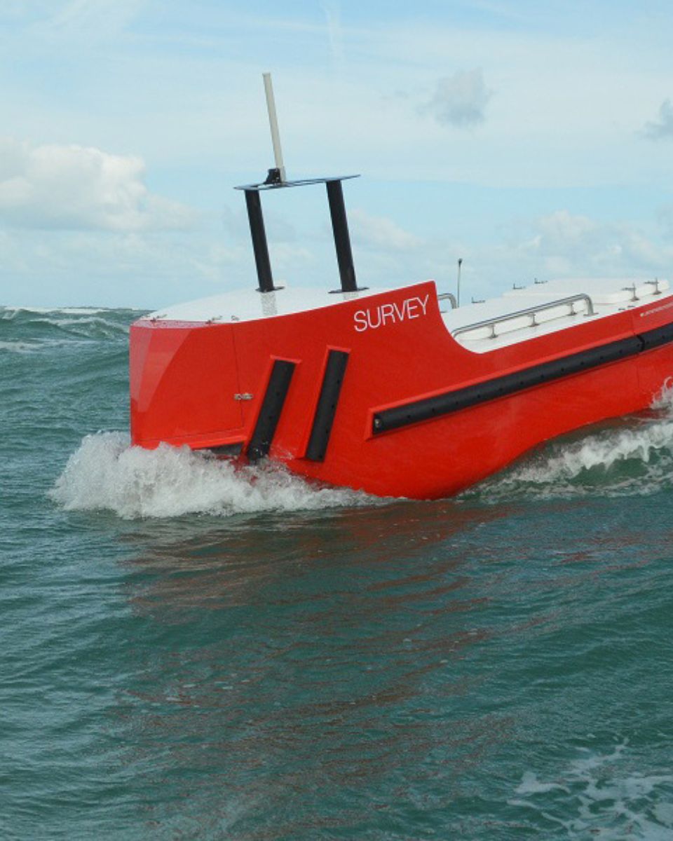
Case studies
Our case studies showcase real-world examples of how our inertial products have been successfully deployed in hydrographic operations worldwide. Our technology helps achieve superior results, reduce operational costs, and increase efficiency in coastal surveys and deep-sea exploration.


They talk about us
Leading companies and institutions around the world trust SBG Systems for their hydrography needs.
Our innovative solutions have supported projects in maritime navigation, underwater construction, resource exploration, and environmental conservation.
Join the global leaders who trust SBG Systems for their hydrographic survey operations.
Explore other demanding environment applications
SBG Systems’ advanced inertial navigation solutions are trusted across a wide range of maritime operations. Our sensors deliver reliable positioning, orientation, and motion data in the most demanding marine environments. Ranging from offshore energy to port management and subsea inspection.
Do you have questions?
Have questions about hydrography and how our products can enhance your operations? Check out our FAQ section, where we answer common queries about the field, our technology, and its applications.
What is hydrographic surveying?
Hydrographic surveying is the process of measuring and mapping physical features of bodies of water, including oceans, rivers, lakes, and coastal areas. It involves collecting data related to the depth, shape, and contours of the seafloor (seafloor mapping), as well as the location of submerged objects, navigational hazards, and other underwater features (e.g. water trenches). Hydrographic surveying is crucial for various applications, including navigation safety, coastal management and coastal survey, construction, and environmental monitoring.
Hydrographic surveying involves several key components, starting with bathymetry, which measures water depth and seafloor topography using sonar systems like single-beam or multi-beam echo sounders that send sound pulses to the seafloor and measure the echo’s return time.
Accurate positioning is critical, achieved using Global Navigation Satellite Systems (GNSS) and Inertial Navigation Systems (INS) to link depth measurements to precise geographic coordinates. Additionally, water column data, such as temperature, salinity, and currents, are measured, and geophysical data is collected to detect underwater objects, obstacles, or hazards using tools like side-scan sonar and magnetometers.
What is bathymetry?
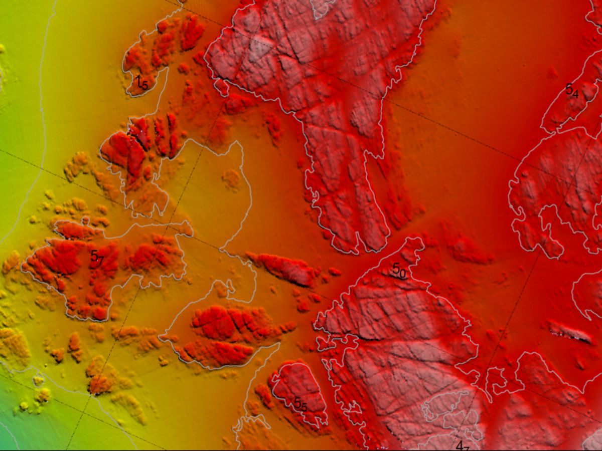
Bathymetry is the study and measurement of the depth and shape of underwater terrain, primarily focused on mapping the seafloor and other submerged landscapes. It is the underwater equivalent of topography, providing detailed insights into the underwater features of oceans, seas, lakes, and rivers. Bathymetry plays a crucial role in various applications, including navigation, marine construction, resource exploration, and environmental studies.
Modern bathymetric techniques rely on sonar systems, such as single-beam and multibeam echo sounders, which use sound waves to measure water depth. These devices send sound pulses toward the seafloor and record the time it takes for the echoes to return, calculating depth based on the speed of sound in water. Multibeam echo sounders, in particular, allow for wide swaths of the seafloor to be mapped at once, providing highly detailed and accurate seafloor representations. Frequently, a RTK + INS solution is associated to create accurately positioned 3D bathymetric representations of the seafloor.
Bathymetric data is essential for creating nautical charts, which help guide vessels safely by identifying potential underwater hazards like submerged rocks, wrecks, and sandbanks. It also plays a vital role in scientific research, helping researchers understand underwater geological features, ocean currents, and marine ecosystems.
What is Multibeam Echo Sounding?
Multibeam Echo Sounding (MBES) is an advanced hydrographic surveying technique used to map the seafloor and underwater features with high precision.
Unlike traditional single-beam echo sounders that measure depth at a single point directly beneath the vessel, MBES utilizes an array of sonar beams to simultaneously capture depth measurements across a wide swath of the seafloor. This allows for detailed, high-resolution mapping of underwater terrain, including topography, geological features, and potential hazards.
MBES systems emit sound waves that travel through the water, bouncing off the seafloor and returning to the vessel. By analyzing the time it takes for the echoes to return, the system calculates the depth at multiple points, creating a comprehensive map of the underwater landscape.
This technology is essential for various applications, including navigation, marine construction, environmental monitoring, and resource exploration, providing critical data for safe maritime operations and sustainable management of marine resources.
