GLONASS (Global Navigation Satellite System) is Russia’s counterpart to the more widely known Global Positioning System (GPS). Moreover, it is developed and maintained by the Russian Federation to provide satellite-based navigation services crucial for global applications. Specifically, GLONASS is a global navigation satellite system operated by Russia and is designed to offer accurate positioning, navigation, and timing services worldwide. Similarly to systems like GPS, Galileo, and Beidou, it uses a network of satellites to deliver precise location data to users on the ground.
Historically, the development of GLONASS began in the 1980s to create a reliable navigation system for military and civilian use. Initially, the program was officially launched in 1982, with the first satellites entering orbit in 1984. However, the system faced challenges, including technical difficulties and funding shortages, which delayed its full deployment. Later, in the early 2000s, Russia revitalized the program, modernizing it and achieving global coverage by 2011. Since then, the system’s capabilities have steadily improved.
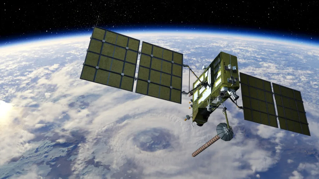
Today, this Russian global positioning system offers several distinguishing features, including global coverage, high accuracy, and interoperability. For instance, it provides worldwide positioning services, ensuring accessibility for users across the globe. Additionally, its satellite constellation ensures continuous coverage, with 24 operational satellites delivering reliable global service.
Furthermore, GLONASS delivers high accuracy and timing data, essential for diverse applications. Users benefit from meter-level precision, while satellite redundancy ensures consistent service even during temporary outages.
Importantly, GLONASS is designed for interoperability and seamless integration with other GNSS systems. For example, its signals are compatible with GPS, allowing for improved accuracy through combined signal use. Moreover, many modern devices support multiple GNSS signals, enhancing performance and positioning reliability.
GLONASS applications
GLONASS supports a broad range of applications across various industries. Concerning navigation, it powers personal apps on smartphones and enhances in-car navigation systems for accurate routing. In surveying and mapping, it ensures precise measurements for land development and boosts GIS accuracy.
This system supports agriculture by enabling precision farming and field monitoring to optimize yields and resource use. Additionally, in emergency services, it enhances search and rescue operations and aids disaster response through accurate location data.
Finally, in scientific research, it contributes to climate monitoring and geophysical studies by providing reliable positional information.
In conclusion, GLONASS plays a vital role in the global navigation infrastructure by offering accurate, reliable, and interoperable services. Thanks to its robust satellite network and continuous technological advancements, it supports numerous applications in navigation, surveying, agriculture, emergency response, and research. As navigation technology evolves, the russian global positioning system will continue to provide essential services to users worldwide.