
Gyrocompassing
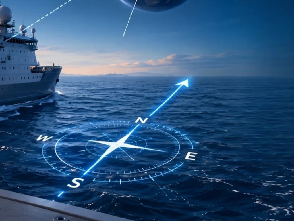
Gyrocompassing is the process of determining true north by measuring the Earth’s rotation with an inertial navigation system (INS). Unlike magnetic compasses, which reference the Earth’s magnetic field, gyrocompassing relies exclusively on inertial measurements. Consequently, it provides a heading that remains immune to magnetic disturbances, making it the preferred solution for applications.
A gyrocompassing system combines gyroscopes and accelerometers within an inertial measurement unit (IMU). First, the accelerometers measure the gravity vector. Then, the gyroscopes detect the Earth’s angular rotation, allowing the system to estimate the orientation of the Earth’s rotation axis relative to the sensor. Finally, the INS computes the heading with respect to true north after compensating for latitude, sensor biases, and measurement noise.
However, practical gyrocompassing becomes challenging when the platform is not stationary. For example, ships continuously experience motion, vibrations, and oscillations that can exceed the Earth’s rotation rate. Therefore, modern gyrocompassing algorithms do not simply measure the Earth’s rotation. Instead, they analyze the apparent rotation of the gravity vector in an inertial reference frame or fit an inertial trajectory to estimate the attitude with robustness. These approaches significantly improve heading convergence while maintaining high integrity under realistic operating conditions.
Furthermore, gyrocompassing performs the coarse alignment stage of an INS before fine alignment begins. A reliable initial heading enables the Extended Kalman Filter (EKF) to converge rapidly. It also improves convergence accuracy and ensures stable navigation throughout the mission. Modern gyrocompassing methods combine gravity analysis, trajectory fitting, and aiding sources. These sources include GNSS and Doppler Velocity Logs (DVLs). This approach reduces initialization time and improves heading accuracy. It also increases system availability under challenging conditions. As a result, modern systems deliver robust true north determination during both static and dynamic operations.