Global Positioning System or GPS is a satellite-based navigation system that provides location and time information anywhere on Earth. Initially developed by the U.S. Department of Defense for military navigation, GPS has become a crucial technology for a wide range of civilian applications, including navigation, mapping, and time synchronization. Let’s explore the definition of GPS, its operational principles, and its diverse applications.
Global Positioning System (GPS) is a space-based navigation system comprising a constellation of satellites, ground control stations, and GPS receivers. It offers precise location and timing information to users worldwide. Engineers originally designed the system for military use but later made it available for civilians, revolutionizing industries and daily life.
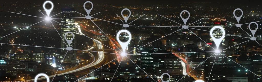
The GPS constellation consists of at least 24 satellites orbiting Earth. The satellites transmit radio signals that contain their position and the exact time they send the signal. Ground control stations monitor and manage the satellites, ensuring their proper functioning and orbital accuracy. They also correct any satellite position or timing errors. GPS receivers, such as those in smartphones and navigation devices, receive signals from multiple satellites. By calculating the time delay of these signals, the receiver determines its position on Earth.
How GPS Works ?
The GPS system operates based on the principles of trilateration, using the time it takes for signals to travel from satellites to the receiver to calculate distances and determine location.
- Signal Transmission: Each GPS satellite continuously broadcasts radio signals that include the satellite’s location and the precise time the signal was transmitted. These signals travel at the speed of light and are received by GPS receivers on Earth.
- Distance Calculation: The GPS receiver calculates the distance from each satellite by measuring the time delay between when the signal was transmitted and when it was received. The system multiplies the delay by the speed of light to determine the distance.
- Position Determination: Using the distances from at least four satellites, the GPS receiver employs trilateration to determine its precise location. The intersection of the spheres created by the distances from each satellite provides the receiver’s position in three-dimensional space (latitude, longitude, and altitude).
- Error Correction: To improve accuracy, GPS systems incorporate various error-correction techniques. These include differential GPS (DGPS), which uses ground-based reference stations to provide corrections, and advanced algorithms to account for atmospheric delays and other factors affecting signal propagation.
Applications
GPS technology has a wide range of applications, transforming many aspects of modern life. Its versatility extends across various sectors, including navigation, surveying, timing, and more.
- GPS is widely used for navigation in automobiles, aircraft, and maritime vessels. It provides turn-by-turn directions, helps avoid traffic congestion, and ensures safe travel by offering real-time location information. GPS-enabled navigation systems in vehicles offer route planning, traffic updates, and real-time directions, enhancing the driving experience and reducing travel time. GPS is crucial for aviation and maritime navigation, providing accurate positioning for flight planning, maritime routes, and collision avoidance.
- Land surveyors and mapping professionals extensively use it to take precise measurements and create detailed geographic data. It supports tasks such as property boundary delineation, construction planning, and environmental monitoring. Surveyors use GPS to measure land accurately, determining boundaries and topographic features with high precision. GPS data integrates with Geographic Information Systems (GIS) to create and analyze spatial information, supporting urban planning, resource management, and infrastructure development.
- The Global Positioning System provides precise time synchronization for various applications, including telecommunications, financial transactions, and scientific research. The accurate timing offered by GPS is essential for coordinating systems and processes across different sectors. Communication networks use timing to synchronize operations and ensure efficient performance of cellular and data systems. Researchers rely on GPS timing for experiments and data collection, such as monitoring seismic activity and studying atmospheric phenomena.
The Global Positioning System (GPS) has become an indispensable tool in modern life, offering precise location and timing information through its constellation of satellites, ground control stations, and receivers. Its applications span navigation, surveying, mapping, and timing, impacting various industries and everyday activities. As technology advances, GPS continues to evolve, providing enhanced accuracy and functionality to meet the growing demands of users worldwide.
Tell us about your project