Inertial Navigation System (INS)
Inertial Navigation Systems (INS) determine a vehicle’s position, velocity, and orientation using motion sensors (accelerometers and gyroscopes) and a GNSS receiver, without the need for external references.
Discover our range of compact, low-power inertial navigation systems, designed for high-performance applications like autonomous navigation, surveying, and defense.
INS compact
Discover now our Inertial Navigation Systems and get the best experience with the perfect balance of size, power, and precision.
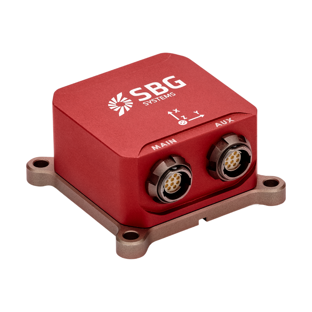
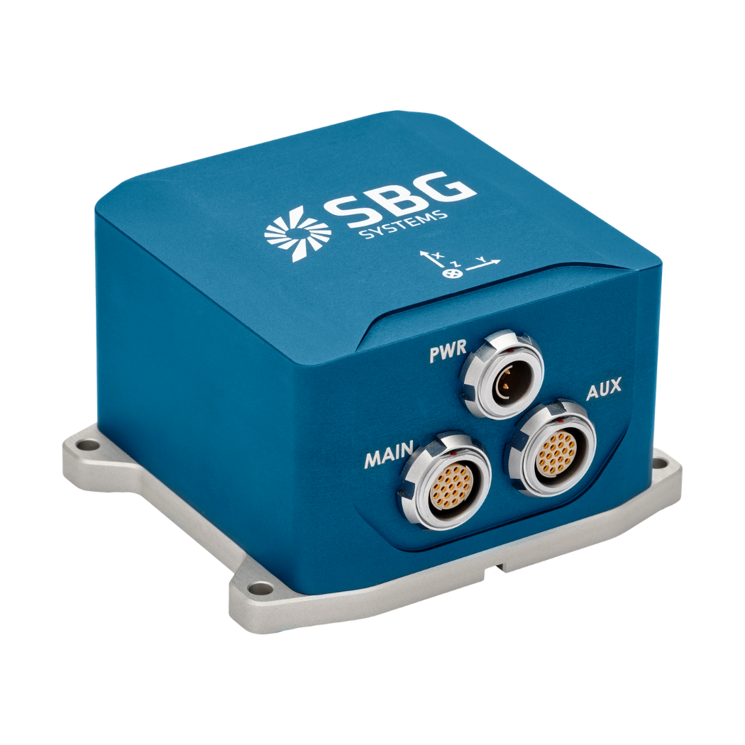
Ellipse-E
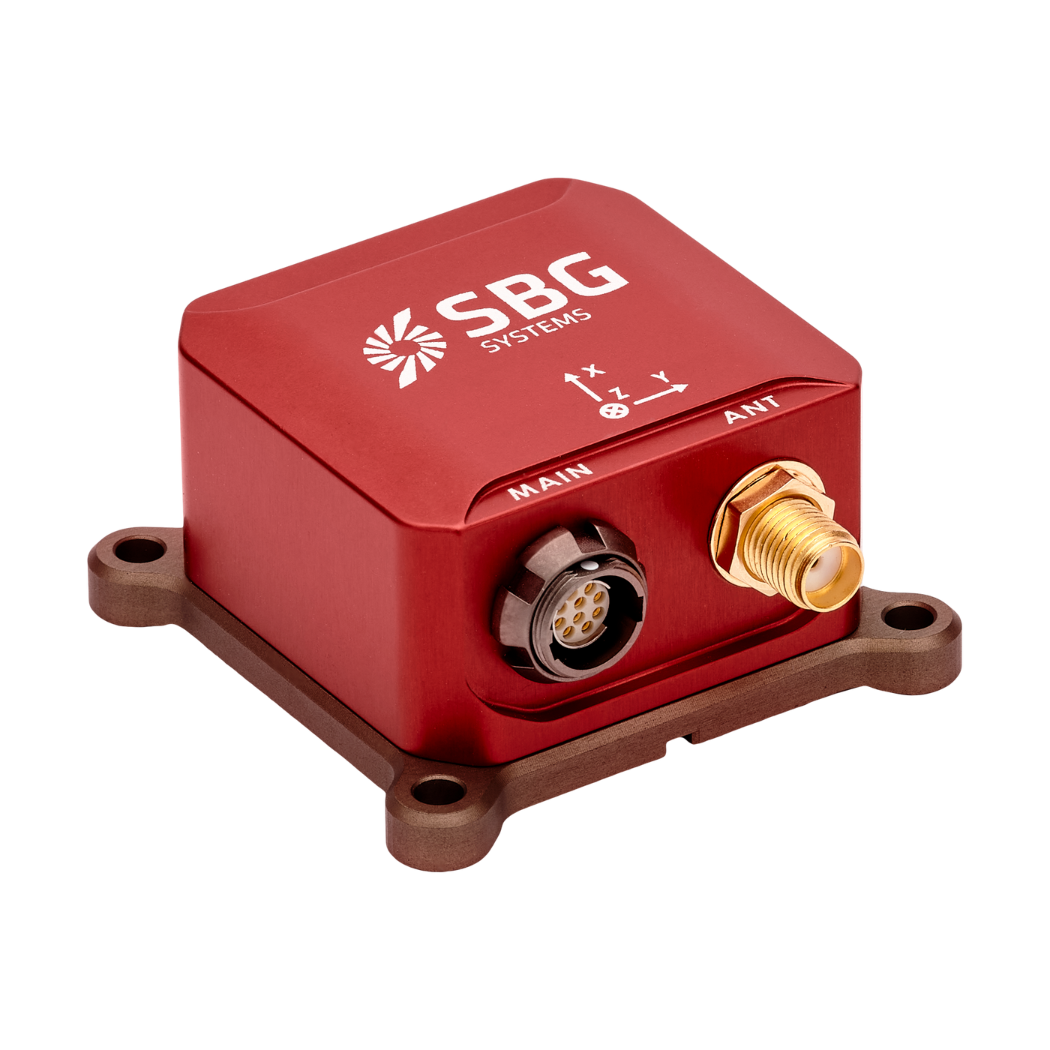
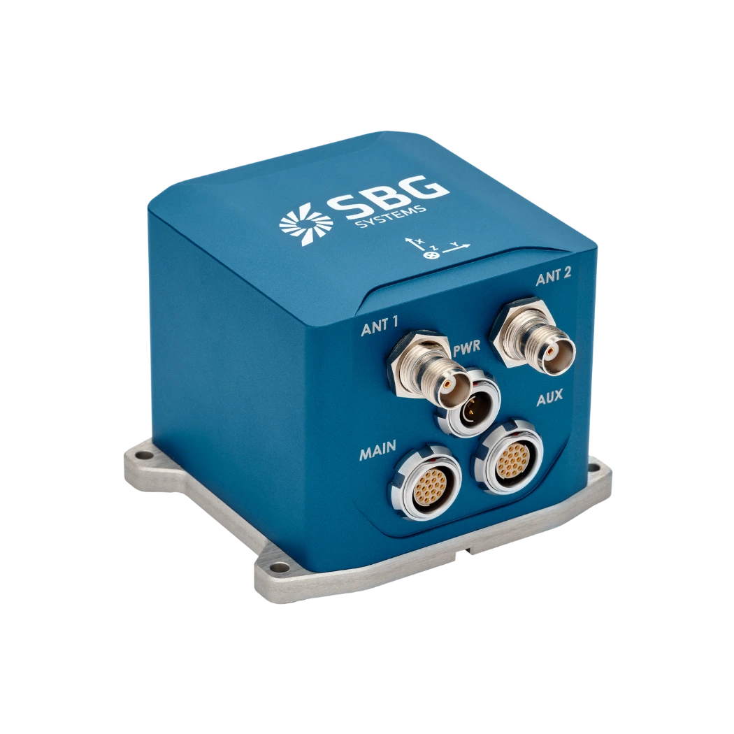
Ellipse-N
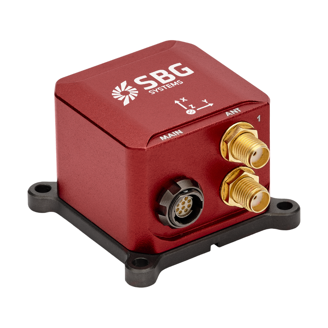
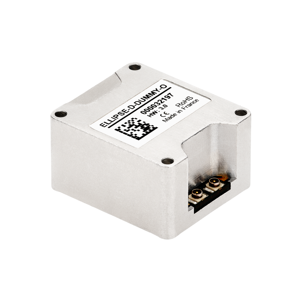
Ellipse-D
INS high-performance
Find out more about our INS that are built to excel, offering superior stability, resilience to harsh conditions, and exceptional data integrity.
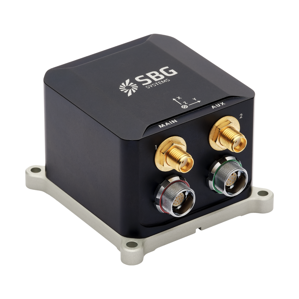
Ekinox Micro
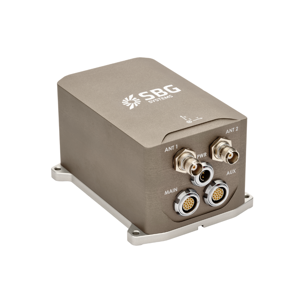
Ekinox-E
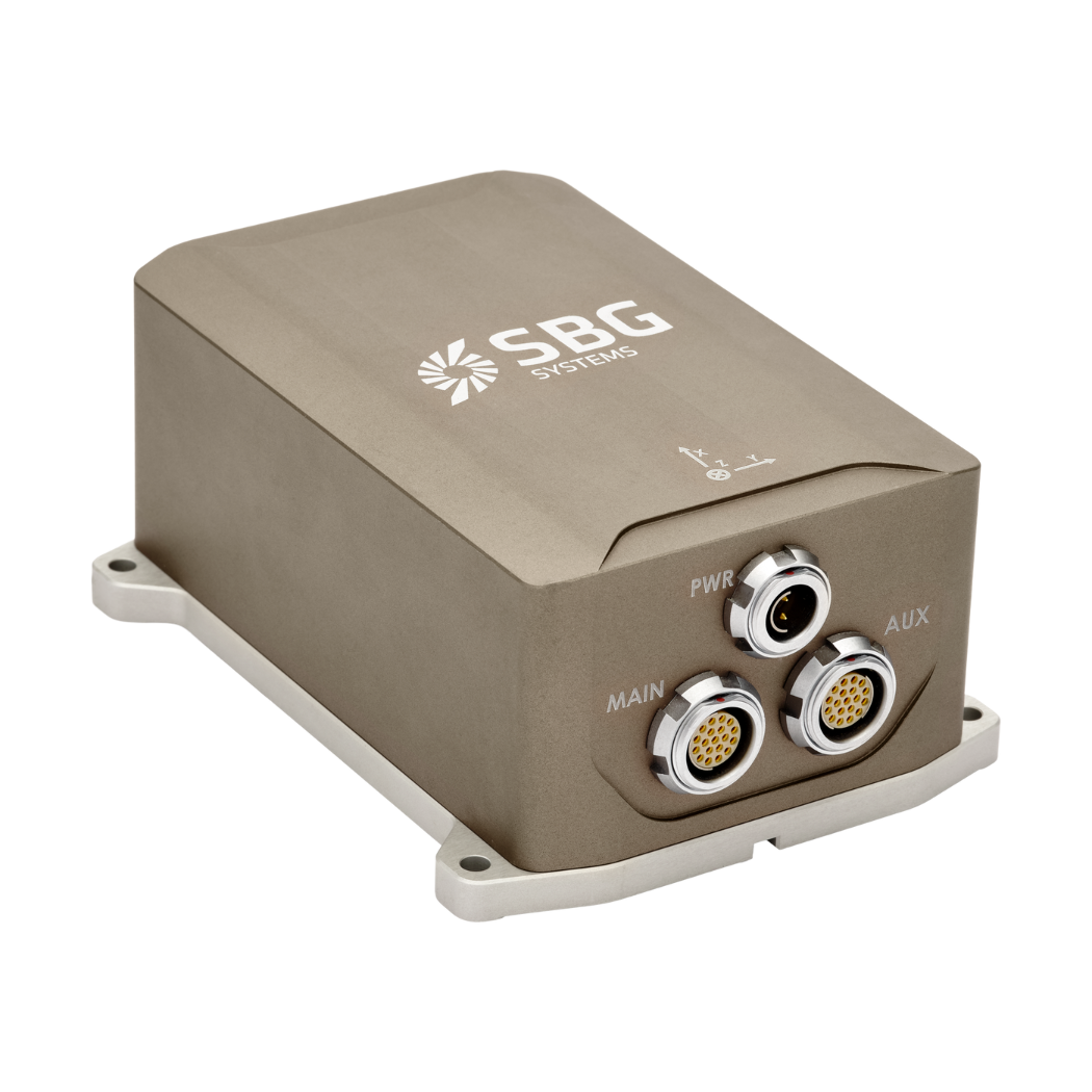
Ekinox-D
Apogee-E
Apogee-D
OEM Inertial Navigation Systems
Take a look at our INS solutions that enable your innovations to achieve greater precision and accuracy.
Quanta Micro
Quanta Plus
Quanta Extra
OEM Ellipse-E

OEM Ellipse-N
OEM Ellipse-D
Access our INS range brochure
You can download our brochure directly to your inbox!
Advantages of choosing our inertial systems
Our compact Inertial Navigation Systems (INS) deliver unmatched performance in the smallest footprint. Each INS combines cutting-edge inertial sensors with advanced GNSS technology, ensuring you stay on course with absolute confidence, even in the most challenging environments. Get more than just compact size. With our INS Sensors, you get robust, reliable performance that drives your operations forward, no matter where they take you.
Our INS units combine high-performance MEMS sensors, advanced GNSS technology, and sophisticated algorithms to provide precise and reliable measurements. They can also integrate external inputs such as odometry, air data, or Doppler Velocity Logs (DVL) to maintain accuracy even in GNSS-denied environments, thanks to their dead reckoning capabilities. When mission success hinges on absolute precision, our High-Performance Inertial Navigation Systems (INS) deliver unparalleled accuracy and reliability.
Proven in the field with thousands of units deployed, our INS have demonstrated exceptional versatility and reliability in applications ranging from civilian navigation and mapping to defense.
Discover other motion and navigation systems
Inertial Measurement Units (IMUs) and Attitude and Heading Reference Systems (AHRS) are key technologies used to measure motion and orientation. An IMU provides raw acceleration and angular rate data using accelerometers and gyroscopes, allowing users to track movement in three dimensions. An AHRS builds on this by integrating magnetometers and advanced sensor fusion algorithms to deliver full 3D orientation—pitch, roll, and heading—in real time. Together, these systems enable precise navigation and control in a wide range of applications, from drones and robotics to marine navigation systems and industrial platforms.