Discover Quanta Series
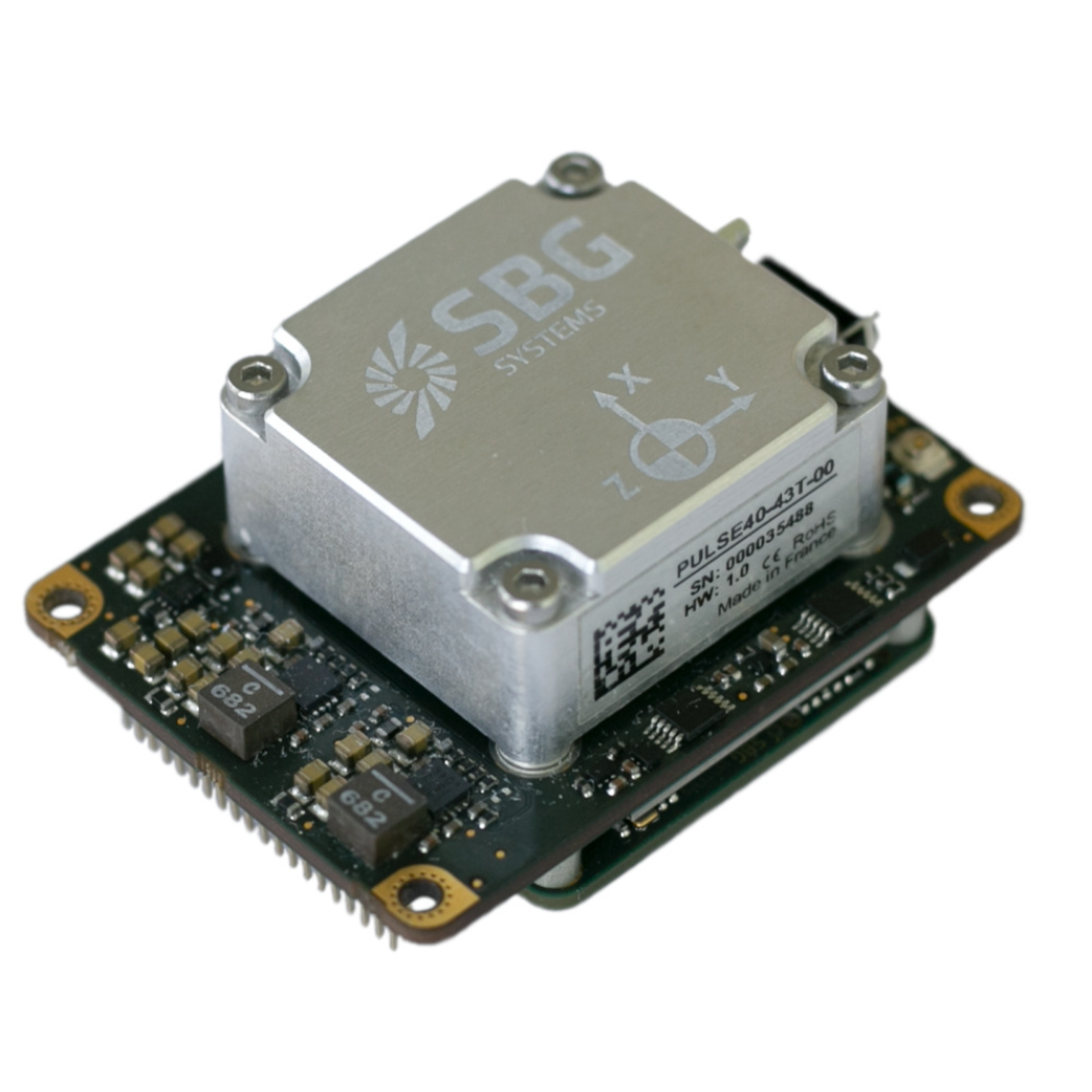
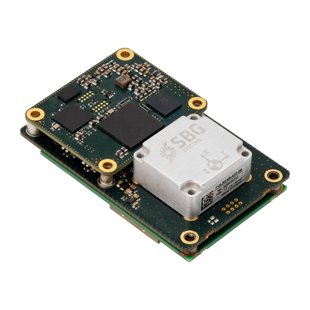
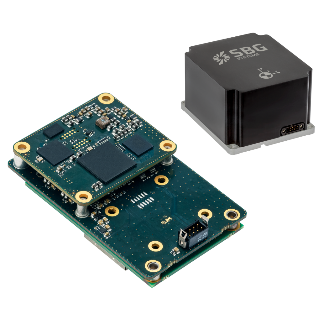
Quanta series brings direct geo-referencing to UAV and land-based surveying solution – with the smallest form factor. This is a line of high performance GNSS aided Inertial Navigation Systems (INS), capable of operating in a wide range of land, marine and airborne applications. Their board level packaging and its outstanding SWAP enables tight integration into the most constrained applications. At its core, a tactical grade IMU or a near-navigation-grade IMU, capable of minimizing errors during challenging or denied GNSS conditions while the low sensor noise provides outstanding orientation performance.
Quanta series product range
Our product range integrates a MEMS based tactical grade Inertial Measurement Unit (IMU). Designed by SBG Systems, this IMU benefits from a full temperature range compensation to ensure optimal performance in all applications.
Discover everything you need to know about all Quanta versions.


