Discover Apogee Series
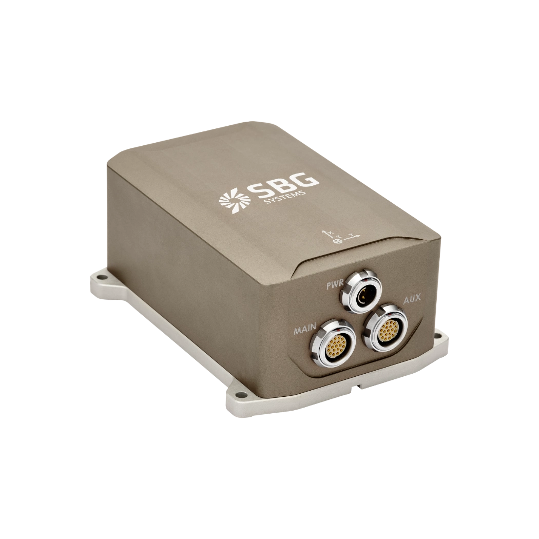
Apogee Series is a line of high performance and highly versatile MEMS inertial navigation systems.
The Apogee line divides into a comprehensive set of three sensors: an AHRS, an INS with an external GNSS receiver, and an INS that embeds a dual antenna, triple-frequency survey-grade GNSS receiver.
Highly accurate inertial navigation systems
For demanding applications in any environment
Our Apogee Series integrates the latest technology to deliver impressive orientation and navigation accuracy for real time and post-processing operations. From shallow to deep water surveys the Apogee is ideal for multibeam sonar compensation with its ultra low noise measurements. It provides realtime heave that adjusts auto automatically to the Sea condition and delayed heave for higher accuracy.
It is the right choice for aerial mapping, remote sensing and photogrammetry with stable outputs even in vibrating and difficult conditions.
The Apogee series makes high accuracy INS affordable for all surveyors.

Apogee product range
Our product range offers a comprehensive suite of high-performance and versatile inertial navigation solutions. The Apogee Series offers distinct options and is thoughtfully designed to meet diverse application needs.
Discover everything you need to know about all Apogee versions.
Apogee-A

Apogee-E

Apogee-D
Test reports & documentation
Our products come with comprehensive documentation, designed to support users at every step. From installation guides to advanced configuration and troubleshooting, our clear and detailed manuals ensure smooth integration and operation.
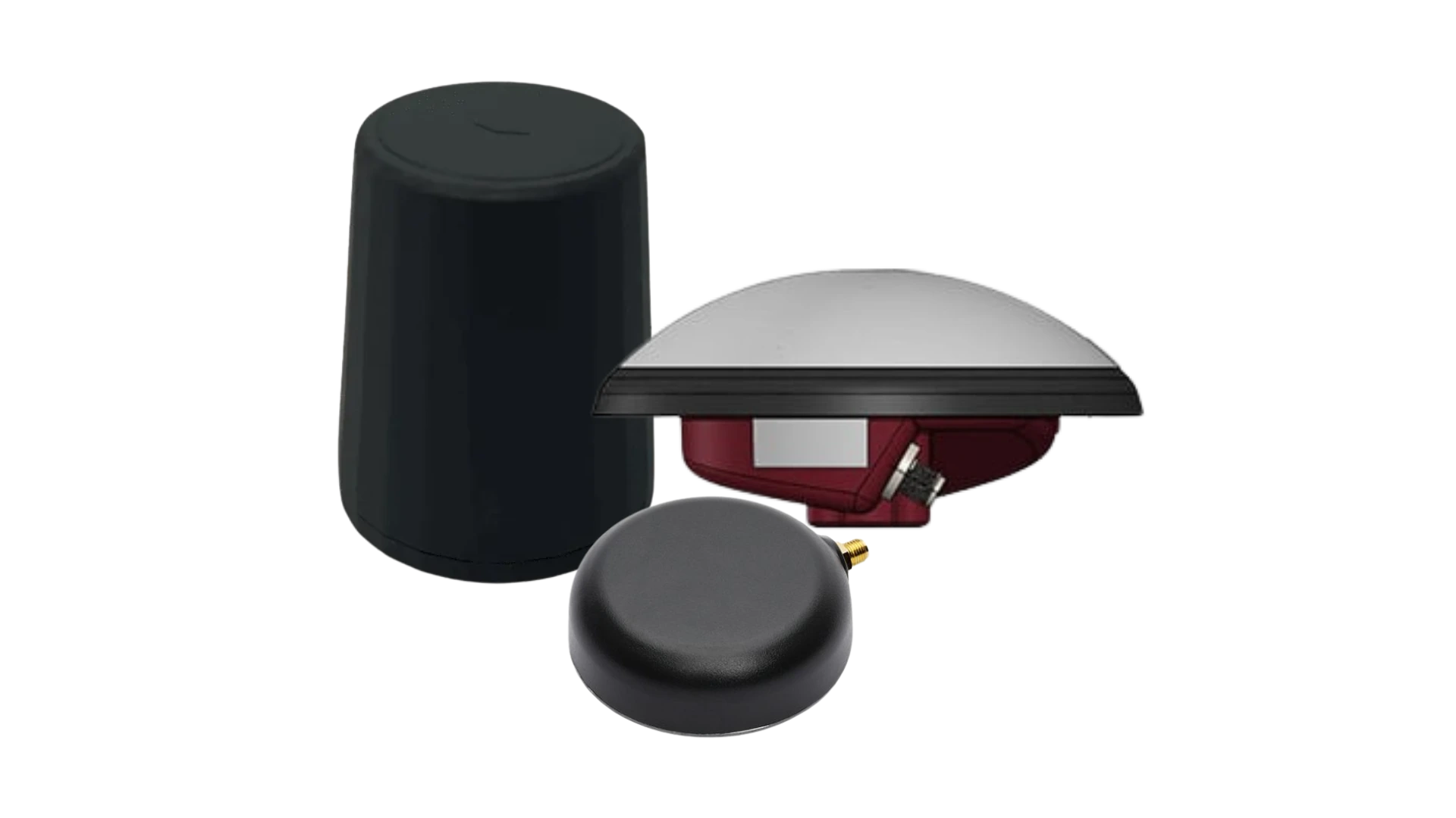
Additional Products & Accessories
Discover how our solutions can transform your operations by exploring our diverse range of applications. With our Motion and Navigation sensors and software, you gain access to state-of-the-art technologies that drive success and innovation in your field.
Join us in unlocking the potential of inertial navigation and positioning solutions across various industries.
Qinertia GNSS-INS
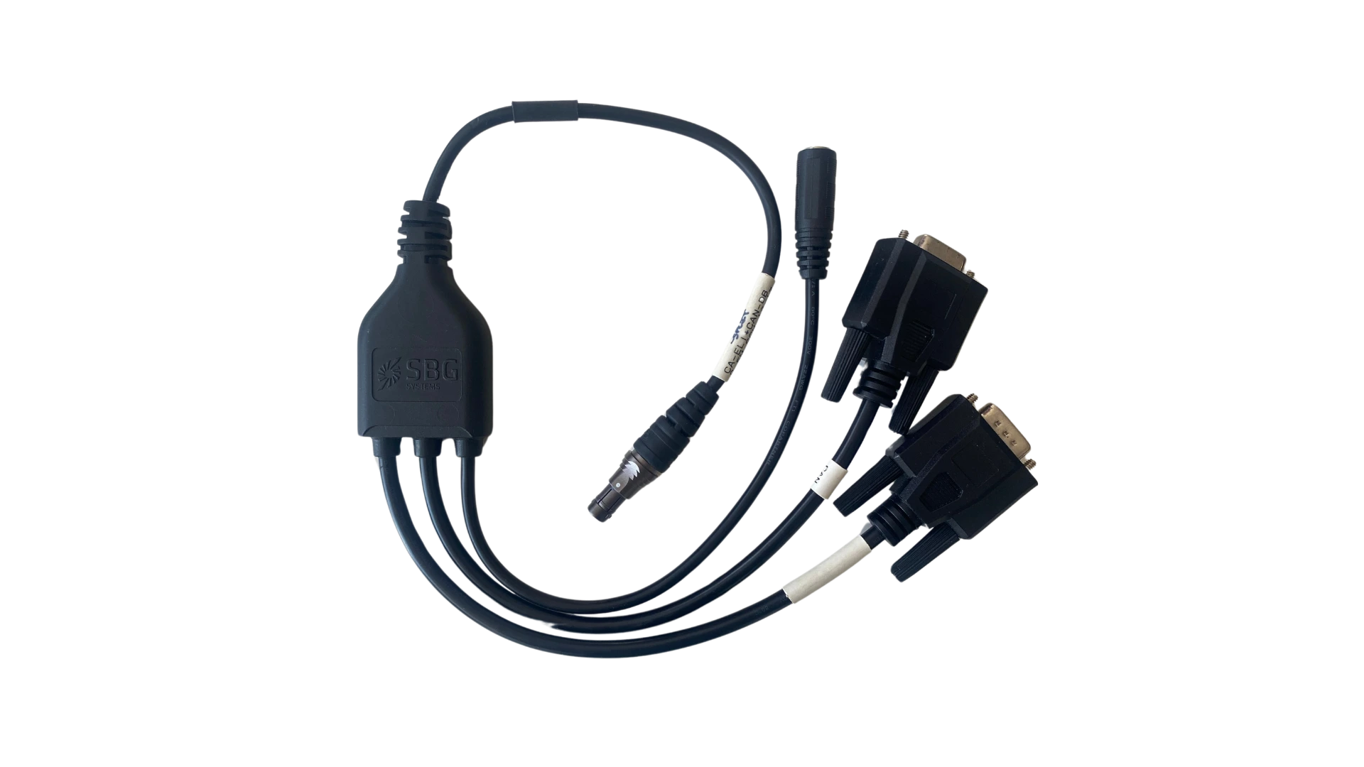
Cables