Relative position refers to the location of one object in relation to another. Unlike absolute positioning, which uses a fixed coordinate system like latitude and longitude, this concept depends on a reference point. In many applications, especially in navigation and robotics, determining relative position is essential for precision, coordination, and safety.
In navigation systems, it helps track the movement of vehicles, vessels, or drones in relation to a known point, such as a base station or another moving object. For example, autonomous vehicles use sensors to determine the distance and angle between themselves and nearby objects. This allows them to maintain safe distances and follow designated paths. In maritime applications, it enables ship-to-ship or ship-to-dock maneuvering, improving docking safety and convoy operations.
For surveyors, relative positioning involves comparing the position of two or more GNSS receivers. One receiver remains fixed at a known location while the other moves. The system calculates precise positions by analyzing differences in satellite signals received by both units. This method improves accuracy significantly, making it suitable for engineering, construction, and land surveying projects.
In aerospace and defense, relative position data supports formation flying, missile targeting, and refueling operations. Aircraft and spacecraft must know their position relative to other units with extreme precision. High-performance inertial systems, coupled with GNSS, enable such tasks by continuously calculating position, velocity, and orientation in relation to nearby vehicles or objects.
Relative positioning is also vital in robotic systems. Industrial robots, for instance, rely on accurate spatial relationships to perform coordinated movements. In multi-robot systems, each robot determines its location relative to the others to avoid collisions and work efficiently.
How to calculate relative positions ?
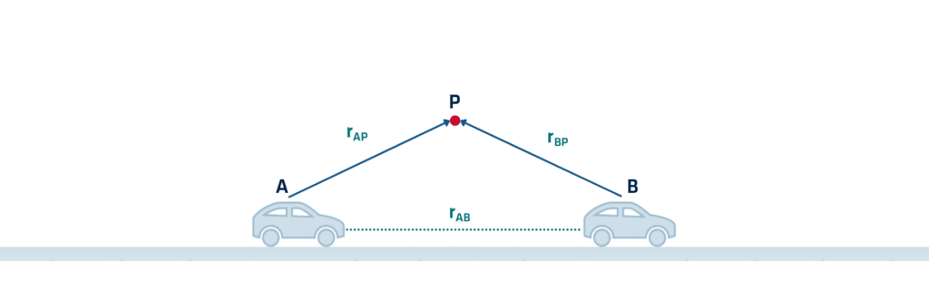
To calculate the relative position of object B with respect to object A, you need the position coordinates of both A and B in the same reference frame. Technologies like lidar, radar, computer vision, GNSS, and inertial sensors work together to calculate relative positions in real time. These technologies enable precise distance measurements, angle estimations, and directional awareness.
Understanding and applying this concept allows systems to operate in dynamic environments with increased autonomy and reliability. Whether guiding a drone formation or aligning construction equipment, relative positioning supports accurate, safe, and efficient operations across multiple industries.